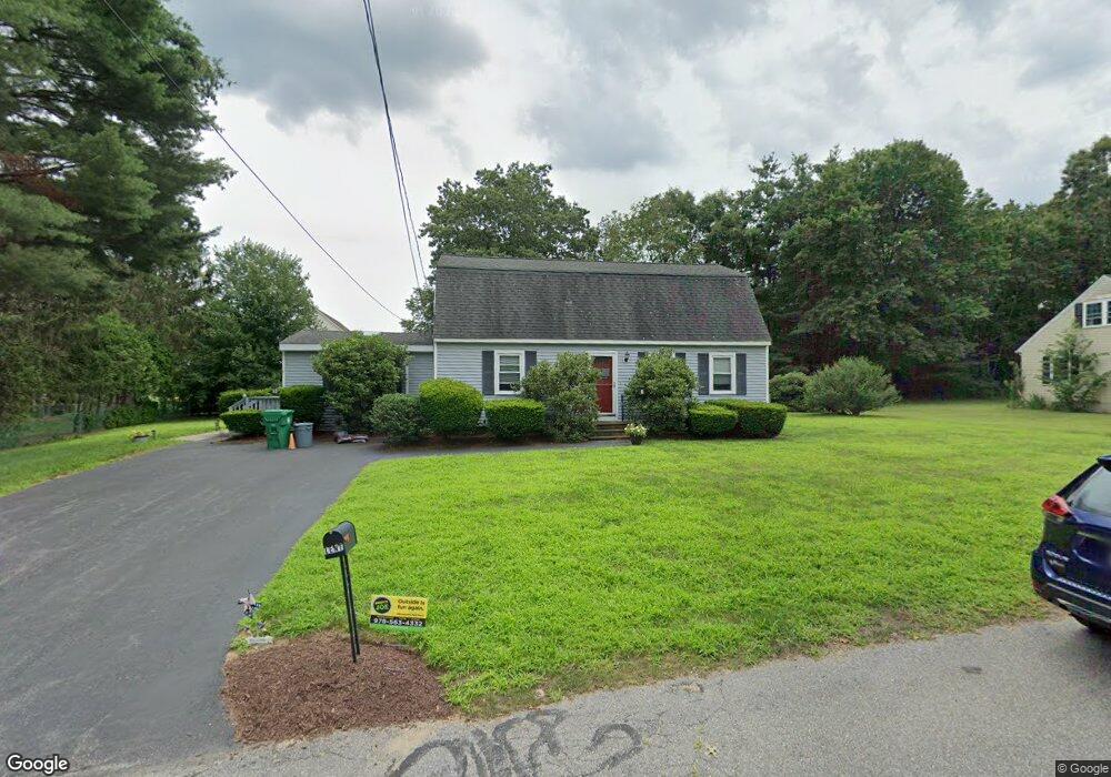
16 Lorraine Ave Clinton, MA 01510
Estimated Value: $503,175 - $637,000
3
Beds
2
Baths
1,926
Sq Ft
$300/Sq Ft
Est. Value
About This Home
This home is located at 16 Lorraine Ave, Clinton, MA 01510 and is currently estimated at $577,794, approximately $299 per square foot. 16 Lorraine Ave is a home located in Worcester County with nearby schools including Clinton Elementary School, Clinton Senior High School, and Clinton Middle School.
Ownership History
Date
Name
Owned For
Owner Type
Purchase Details
Closed on
Mar 11, 2022
Sold by
Lent John D and Mcintyre Claire F
Bought by
J D & Claire F Lent Ret
Current Estimated Value
Purchase Details
Closed on
Mar 11, 1971
Bought by
Lent John D and Mcintyre Claire F
Create a Home Valuation Report for This Property
The Home Valuation Report is an in-depth analysis detailing your home's value as well as a comparison with similar homes in the area
Home Values in the Area
Average Home Value in this Area
Purchase History
| Date | Buyer | Sale Price | Title Company |
|---|---|---|---|
| J D & Claire F Lent Ret | -- | None Available | |
| Lent John D | $24,500 | -- |
Source: Public Records
Mortgage History
| Date | Status | Borrower | Loan Amount |
|---|---|---|---|
| Previous Owner | Lent John D | $90,000 | |
| Previous Owner | Lent John D | $30,000 | |
| Previous Owner | Lent John D | $30,000 |
Source: Public Records
Tax History
| Year | Tax Paid | Tax Assessment Tax Assessment Total Assessment is a certain percentage of the fair market value that is determined by local assessors to be the total taxable value of land and additions on the property. | Land | Improvement |
|---|---|---|---|---|
| 2025 | $5,561 | $418,100 | $120,800 | $297,300 |
| 2024 | $5,482 | $417,200 | $120,800 | $296,400 |
| 2023 | $5,139 | $384,400 | $109,900 | $274,500 |
| 2022 | $5,038 | $337,900 | $99,800 | $238,100 |
| 2021 | $4,559 | $286,000 | $95,100 | $190,900 |
| 2020 | $4,430 | $286,000 | $95,100 | $190,900 |
| 2019 | $4,427 | $277,900 | $92,300 | $185,600 |
| 2018 | $4,238 | $249,600 | $92,300 | $157,300 |
| 2017 | $4,043 | $228,800 | $92,300 | $136,500 |
| 2016 | $4,007 | $232,000 | $92,300 | $139,700 |
| 2015 | $3,524 | $211,500 | $89,700 | $121,800 |
| 2014 | $3,416 | $211,500 | $89,700 | $121,800 |
Source: Public Records
Map
Nearby Homes
- 610 Ridgefield Cir Unit B
- 920 Ridgefield Cir Unit C
- 46 Woodruff Rd
- 18 Sargent Rd
- 12 Woodruff Rd
- 101 Woodruff Rd
- 6 Mcnulty Rd
- 155 Cedar St
- 93 Forest St
- 212 Chace St
- 15 Bufton Farm Rd
- 508 High St
- 25 Pearl St
- 167 Lancaster Rd
- 114 Oak Trail
- 57 Clark St
- 719 Main St
- 861 Main St
- 115117 Mechanic St Unit 4
- 115117 Mechanic St Unit 3
Your Personal Tour Guide
Ask me questions while you tour the home.