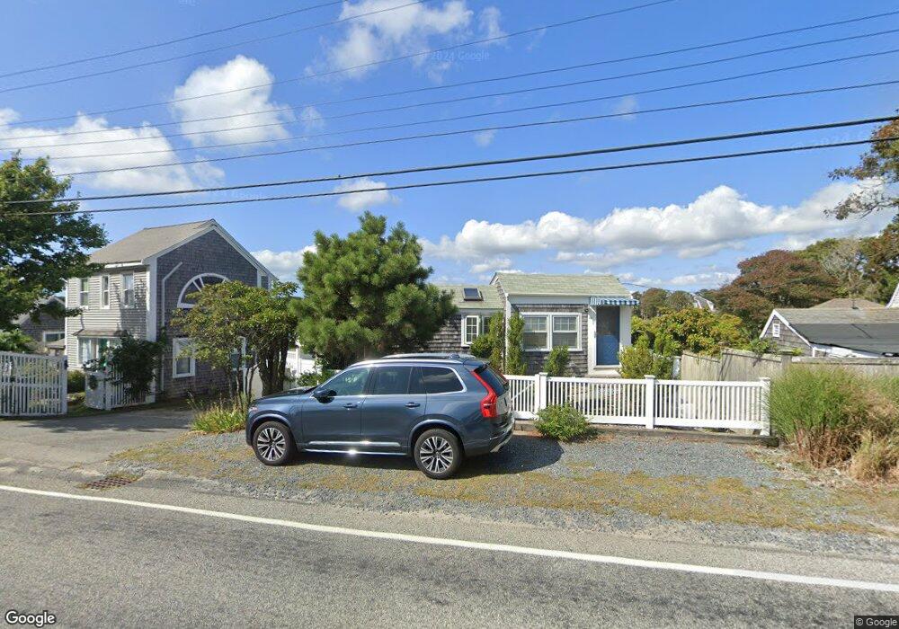
16 Lower County Rd Dennis Port, MA 02639
Dennis Port NeighborhoodEstimated Value: $329,000 - $527,000
2
Beds
1
Bath
489
Sq Ft
$937/Sq Ft
Est. Value
About This Home
This home is located at 16 Lower County Rd, Dennis Port, MA 02639 and is currently estimated at $458,183, approximately $936 per square foot. 16 Lower County Rd is a home located in Barnstable County with nearby schools including Dennis-Yarmouth Regional High School and St. Pius X. School.
Ownership History
Date
Name
Owned For
Owner Type
Purchase Details
Closed on
Nov 16, 1998
Sold by
Cronin Bernice F and Cronin James A
Bought by
Sakellis Mario J and Sakellis Patricia A
Current Estimated Value
Home Financials for this Owner
Home Financials are based on the most recent Mortgage that was taken out on this home.
Original Mortgage
$192,000
Outstanding Balance
$42,130
Interest Rate
6.65%
Mortgage Type
Purchase Money Mortgage
Estimated Equity
$416,053
Purchase Details
Closed on
May 7, 1982
Bought by
Bonta Catharine M and Withers Bedford
Create a Home Valuation Report for This Property
The Home Valuation Report is an in-depth analysis detailing your home's value as well as a comparison with similar homes in the area
Home Values in the Area
Average Home Value in this Area
Purchase History
| Date | Buyer | Sale Price | Title Company |
|---|---|---|---|
| Sakellis Mario J | $240,000 | -- | |
| Bonta Catharine M | -- | -- |
Source: Public Records
Mortgage History
| Date | Status | Borrower | Loan Amount |
|---|---|---|---|
| Open | Sakellis Mario J | $192,000 |
Source: Public Records
Tax History Compared to Growth
Tax History
| Year | Tax Paid | Tax Assessment Tax Assessment Total Assessment is a certain percentage of the fair market value that is determined by local assessors to be the total taxable value of land and additions on the property. | Land | Improvement |
|---|---|---|---|---|
| 2025 | $1,648 | $380,500 | $233,000 | $147,500 |
| 2024 | $1,495 | $340,500 | $224,100 | $116,400 |
| 2023 | $1,371 | $293,600 | $198,000 | $95,600 |
| 2022 | $1,373 | $245,100 | $178,400 | $66,700 |
| 2021 | $0 | $226,400 | $174,900 | $51,500 |
| 2020 | $1,304 | $213,700 | $174,900 | $38,800 |
| 2019 | $0 | $206,200 | $171,500 | $34,700 |
| 2018 | $0 | $204,600 | $163,200 | $41,400 |
| 2017 | $1,183 | $192,400 | $149,200 | $43,200 |
| 2016 | $1,267 | $194,100 | $158,600 | $35,500 |
| 2015 | $1,257 | $196,400 | $158,600 | $37,800 |
| 2014 | $1,189 | $187,300 | $158,600 | $28,700 |
Source: Public Records
Map
Nearby Homes
- 37 Ocean Dr Unit 2
- 6 Baker Way
- 64 Beaten Rd
- 80 Michaels Ave
- 112 Old Wharf Rd Unit E4
- 112 Old Wharf Rd Unit E1
- 61 Trotters Ln
- 120 Old Wharf Rd Unit 11
- 154 Old Wharf Rd Unit 26
- 154 Old Wharf Rd Unit 14
- 15 Woodside Park Rd
- 31 Easy St
- 19 Standish Way
- 217 Old Wharf Rd Unit 64
- 12 Spoonbill Rd
- 178 School St
- 241 Old Wharf Rd Unit 82
- 241 Old Wharf Rd Unit 127
- 241 Old Wharf Rd Unit 90
- 22 Wixon Rd
- 12 Lower County Rd
- 3 River Ln
- 26 Lower County Rd
- 19 Lower County Rd
- 29 Mayflower Ln
- 29 Upper County Rd
- 29 Lower County Rd
- 40 Lower County Rd
- 31 Mayflower Ln
- 27 Mayflower Ln
- 35 Lower County Rd
- 23 Mayflower Ln
- 40 Lower County Rd
- 35 Lower County Rd
- 54 River Ln Unit A
- 54 River Ln
- 9 Miramar Ave
- 3 Dexter Snow Ave
- 8 Miramar Ave
- 188 Lower County Rd