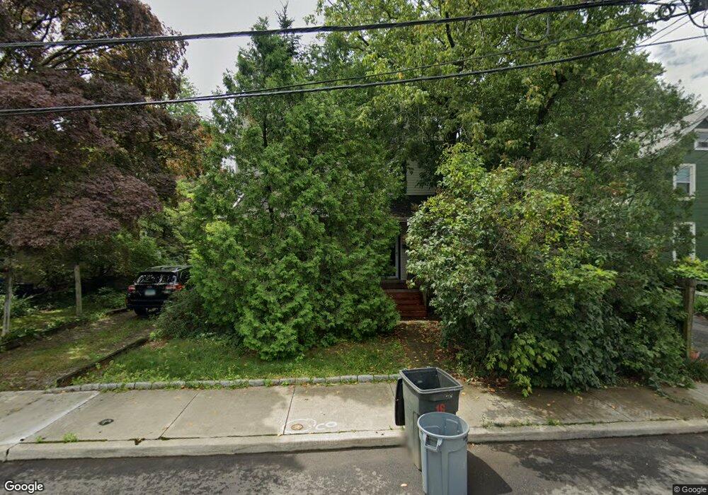
16 Lowndes Ave Norwalk, CT 06854
South Norwalk NeighborhoodEstimated Value: $637,000 - $763,000
3
Beds
2
Baths
2,055
Sq Ft
$343/Sq Ft
Est. Value
About This Home
This home is located at 16 Lowndes Ave, Norwalk, CT 06854 and is currently estimated at $704,396, approximately $342 per square foot. 16 Lowndes Ave is a home located in Fairfield County with nearby schools including Rowayton Elementary School, Roton Middle School, and Brien Mcmahon High School.
Ownership History
Date
Name
Owned For
Owner Type
Purchase Details
Closed on
Nov 29, 1994
Sold by
Paxton Susan
Bought by
Wegener Stephen
Current Estimated Value
Home Financials for this Owner
Home Financials are based on the most recent Mortgage that was taken out on this home.
Original Mortgage
$152,000
Interest Rate
8.91%
Mortgage Type
Unknown
Create a Home Valuation Report for This Property
The Home Valuation Report is an in-depth analysis detailing your home's value as well as a comparison with similar homes in the area
Home Values in the Area
Average Home Value in this Area
Purchase History
| Date | Buyer | Sale Price | Title Company |
|---|---|---|---|
| Wegener Stephen | $172,000 | -- | |
| Wegener Stephen | $172,000 | -- |
Source: Public Records
Mortgage History
| Date | Status | Borrower | Loan Amount |
|---|---|---|---|
| Open | Wegener Stephen | $141,820 | |
| Closed | Wegener Stephen | $152,000 | |
| Closed | Wegener Stephen | $152,000 |
Source: Public Records
Tax History Compared to Growth
Tax History
| Year | Tax Paid | Tax Assessment Tax Assessment Total Assessment is a certain percentage of the fair market value that is determined by local assessors to be the total taxable value of land and additions on the property. | Land | Improvement |
|---|---|---|---|---|
| 2025 | $8,903 | $372,500 | $157,250 | $215,250 |
| 2024 | $8,771 | $372,500 | $157,250 | $215,250 |
| 2023 | $6,965 | $277,650 | $134,530 | $143,120 |
| 2022 | $6,814 | $277,620 | $134,500 | $143,120 |
| 2021 | $6,655 | $277,650 | $134,530 | $143,120 |
| 2020 | $6,651 | $277,650 | $134,530 | $143,120 |
| 2019 | $6,473 | $277,650 | $134,530 | $143,120 |
| 2018 | $5,128 | $192,730 | $93,450 | $99,280 |
| 2017 | $4,950 | $192,730 | $93,450 | $99,280 |
| 2016 | $4,903 | $192,730 | $93,450 | $99,280 |
| 2015 | $4,890 | $192,730 | $93,450 | $99,280 |
| 2014 | $4,826 | $192,730 | $93,450 | $99,280 |
Source: Public Records
Map
Nearby Homes
- 41 Baxter Dr
- 47 Neptune Ave
- 58 Shorefront Park
- 9 Lawrence St
- 8 Oliver St
- 9 Sylvester Ct
- 52 Lexington Ave
- 5 Outer Rd
- 28 Chestnut St
- 25 Chestnut St Unit 1-I
- 54 Cove Ave
- 199 Gregory Blvd Unit D2
- 199 Gregory Blvd Unit E4
- 7 Moscariello Place
- 26 Cove Ave Unit 3B
- 26 Cove Ave Unit 2D
- 100 Seaview Ave Unit 3I
- 42 S Main St Unit 202
- 5 Rockland Rd Unit A8
- 309 Ely Ave Unit A2