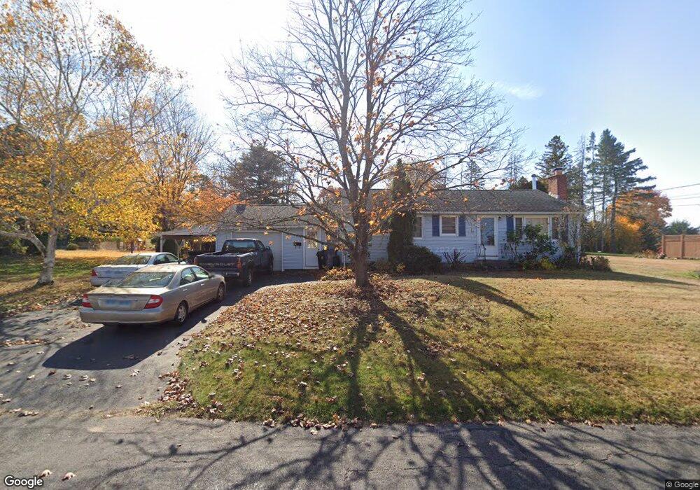
16 Lynn Ave Terryville, CT 06786
Estimated Value: $279,533 - $322,000
3
Beds
1
Bath
1,040
Sq Ft
$294/Sq Ft
Est. Value
About This Home
This home is located at 16 Lynn Ave, Terryville, CT 06786 and is currently estimated at $305,383, approximately $293 per square foot. 16 Lynn Ave is a home located in Litchfield County with nearby schools including Harry S. Fisher Elementary School, Eli Terry Jr. Middle School, and Terryville High School.
Ownership History
Date
Name
Owned For
Owner Type
Purchase Details
Closed on
Mar 20, 2007
Sold by
Lloret Neal and Lloret Tina
Bought by
Flannigan David
Current Estimated Value
Home Financials for this Owner
Home Financials are based on the most recent Mortgage that was taken out on this home.
Original Mortgage
$163,200
Interest Rate
6.4%
Purchase Details
Closed on
Jul 10, 2002
Sold by
Winterstein Jeffrey L and Winterstein Ann B
Bought by
Lloret Neal and Caputo Tina M
Create a Home Valuation Report for This Property
The Home Valuation Report is an in-depth analysis detailing your home's value as well as a comparison with similar homes in the area
Home Values in the Area
Average Home Value in this Area
Purchase History
| Date | Buyer | Sale Price | Title Company |
|---|---|---|---|
| Flannigan David | $204,000 | -- | |
| Flannigan David | $204,000 | -- | |
| Lloret Neal | $142,000 | -- | |
| Lloret Neal | $142,000 | -- |
Source: Public Records
Mortgage History
| Date | Status | Borrower | Loan Amount |
|---|---|---|---|
| Open | Lloret Neal | $152,200 | |
| Closed | Lloret Neal | $163,200 |
Source: Public Records
Tax History Compared to Growth
Tax History
| Year | Tax Paid | Tax Assessment Tax Assessment Total Assessment is a certain percentage of the fair market value that is determined by local assessors to be the total taxable value of land and additions on the property. | Land | Improvement |
|---|---|---|---|---|
| 2025 | $4,595 | $116,130 | $43,680 | $72,450 |
| 2024 | $4,487 | $116,130 | $43,680 | $72,450 |
| 2023 | $4,378 | $116,130 | $43,680 | $72,450 |
| 2022 | $4,218 | $116,130 | $43,680 | $72,450 |
| 2021 | $4,109 | $101,129 | $46,060 | $55,069 |
| 2020 | $4,109 | $101,129 | $46,060 | $55,069 |
| 2019 | $4,109 | $101,129 | $46,060 | $55,069 |
| 2016 | $3,973 | $110,299 | $46,060 | $64,239 |
| 2015 | $3,908 | $110,299 | $46,060 | $64,239 |
| 2014 | $3,844 | $110,299 | $46,060 | $64,239 |
Source: Public Records
Map
Nearby Homes
- 17 Hoye St
- 2 Sandra Ave
- 10 Diamond St
- 14 Church St
- 565 Clark Ave Unit 17
- 19 Main St
- 7 Kearney St
- 15 Woodside Ln
- 441 Clark Ave Unit 2
- 441 Clark Ave Unit 5
- 820 Matthews St Unit 29
- Lots 16, 18 and 22 E Hill St
- 7 Allen St
- 28 Allen St
- 78 Kearney St
- 140A E Plymouth Rd
- 11 William St
- 16 Wood Ct
- 10 Liberty St
- 11 Bobin Rd