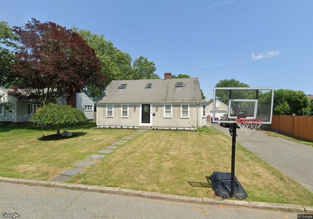
16 Mandell St New Bedford, MA 02740
The South End NeighborhoodEstimated Value: $510,404 - $623,000
4
Beds
2
Baths
1,948
Sq Ft
$284/Sq Ft
Est. Value
About This Home
This home is located at 16 Mandell St, New Bedford, MA 02740 and is currently estimated at $553,351, approximately $284 per square foot. 16 Mandell St is a home located in Bristol County with nearby schools including Betsey B. Winslow Elementary School, Keith Middle School, and New Bedford High School.
Ownership History
Date
Name
Owned For
Owner Type
Purchase Details
Closed on
Oct 30, 1997
Sold by
Baptista Katherine W and Neves Katherine
Bought by
Almeida Ana L and Almeida Pedro
Current Estimated Value
Create a Home Valuation Report for This Property
The Home Valuation Report is an in-depth analysis detailing your home's value as well as a comparison with similar homes in the area
Home Values in the Area
Average Home Value in this Area
Purchase History
| Date | Buyer | Sale Price | Title Company |
|---|---|---|---|
| Almeida Ana L | $121,000 | -- | |
| Almeida Ana L | $121,000 | -- |
Source: Public Records
Mortgage History
| Date | Status | Borrower | Loan Amount |
|---|---|---|---|
| Open | Almeida Ana L | $142,000 | |
| Closed | Almeida Ana L | $173,034 |
Source: Public Records
Tax History Compared to Growth
Tax History
| Year | Tax Paid | Tax Assessment Tax Assessment Total Assessment is a certain percentage of the fair market value that is determined by local assessors to be the total taxable value of land and additions on the property. | Land | Improvement |
|---|---|---|---|---|
| 2025 | $5,529 | $488,900 | $130,000 | $358,900 |
| 2024 | $5,614 | $467,800 | $132,100 | $335,700 |
| 2023 | $5,926 | $414,700 | $113,900 | $300,800 |
| 2022 | $5,461 | $351,400 | $108,300 | $243,100 |
| 2021 | $4,553 | $343,100 | $108,300 | $234,800 |
| 2020 | $3,619 | $320,500 | $108,300 | $212,200 |
| 2019 | $0 | $303,600 | $108,300 | $195,300 |
| 2018 | $3,890 | $282,200 | $108,300 | $173,900 |
| 2017 | $307 | $251,300 | $108,300 | $143,000 |
| 2016 | $4,020 | $243,800 | $108,300 | $135,500 |
| 2015 | $3,759 | $239,000 | $108,300 | $130,700 |
| 2014 | $3,426 | $226,000 | $101,800 | $124,200 |
Source: Public Records
Map
Nearby Homes
- 22 Mandell St
- 8 Mandell St
- 23 Brier St
- 445 Rockdale Ave
- 449 Rockdale Ave Unit 451
- 439 Rockdale Ave
- 32 Mandell St
- 17 Brier St
- 15 Mandell St
- 43 Brier St
- 457 Rockdale Ave
- 435 Rockdale Ave
- 25 Mandell St
- 40 Mandell St
- 26 Brier St
- 20 Brier St
- 32 Brier St
- 42 Brier St
- 448 Rockdale Ave Unit 450
- 452 Rockdale Ave Unit 454