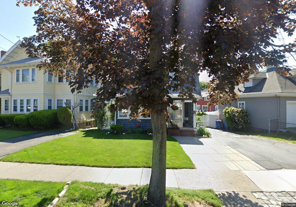
16 Maple Rd Winthrop, MA 02152
Court Park NeighborhoodEstimated Value: $739,128 - $836,000
3
Beds
2
Baths
1,654
Sq Ft
$472/Sq Ft
Est. Value
About This Home
This home is located at 16 Maple Rd, Winthrop, MA 02152 and is currently estimated at $780,532, approximately $471 per square foot. 16 Maple Rd is a home located in Suffolk County with nearby schools including William P. Gorman/Fort Banks Elementary School, Arthur T. Cummings Elementary School, and Winthrop Middle School.
Ownership History
Date
Name
Owned For
Owner Type
Purchase Details
Closed on
Jul 18, 1991
Sold by
E Mj and E T
Bought by
Obrien Martin W and Obrien Barbara A
Current Estimated Value
Create a Home Valuation Report for This Property
The Home Valuation Report is an in-depth analysis detailing your home's value as well as a comparison with similar homes in the area
Home Values in the Area
Average Home Value in this Area
Purchase History
| Date | Buyer | Sale Price | Title Company |
|---|---|---|---|
| Obrien Martin W | $172,090 | -- |
Source: Public Records
Mortgage History
| Date | Status | Borrower | Loan Amount |
|---|---|---|---|
| Open | Obrien Martin W | $310,000 | |
| Closed | Obrien Martin W | $50,000 | |
| Closed | Obrien Martin W | $240,000 |
Source: Public Records
Tax History
| Year | Tax Paid | Tax Assessment Tax Assessment Total Assessment is a certain percentage of the fair market value that is determined by local assessors to be the total taxable value of land and additions on the property. | Land | Improvement |
|---|---|---|---|---|
| 2025 | $7,312 | $708,500 | $426,400 | $282,100 |
| 2024 | $7,124 | $683,700 | $409,900 | $273,800 |
| 2023 | $6,756 | $631,400 | $375,200 | $256,200 |
| 2022 | $6,410 | $545,100 | $335,100 | $210,000 |
| 2021 | $6,355 | $501,200 | $299,200 | $202,000 |
| 2020 | $6,325 | $501,200 | $299,200 | $202,000 |
| 2019 | $6,221 | $472,000 | $275,700 | $196,300 |
| 2018 | $5,926 | $418,500 | $236,700 | $181,800 |
| 2017 | $5,837 | $405,100 | $225,900 | $179,200 |
| 2016 | $5,658 | $368,100 | $196,500 | $171,600 |
| 2015 | $5,131 | $357,800 | $190,800 | $167,000 |
| 2014 | $4,936 | $316,800 | $146,800 | $170,000 |
Source: Public Records
Map
Nearby Homes
- 66 Lowell Rd
- 36 Sargent St
- 47 Bellevue Ave
- 191 Cottage Park Rd
- 170 Cottage Park Rd
- 35 Somerset Ave Unit 6
- 10 Somerset Ave Unit 403
- 10 Somerset Ave Unit 404
- 10 Somerset Ave Unit 207
- 10 Somerset Ave Unit 304
- 10 Somerset Ave Unit 408
- 10 Somerset Ave Unit 201
- 10 Somerset Ave Unit 405
- 10 Somerset Ave Unit 308
- 10 Somerset Ave Unit 211
- 10 Somerset Ave Unit 206
- 63-69 Putnam St
- 66 Plummer Ave Unit 3
- 550 Pleasant St Unit 506
- 56 Main St
Your Personal Tour Guide
Ask me questions while you tour the home.