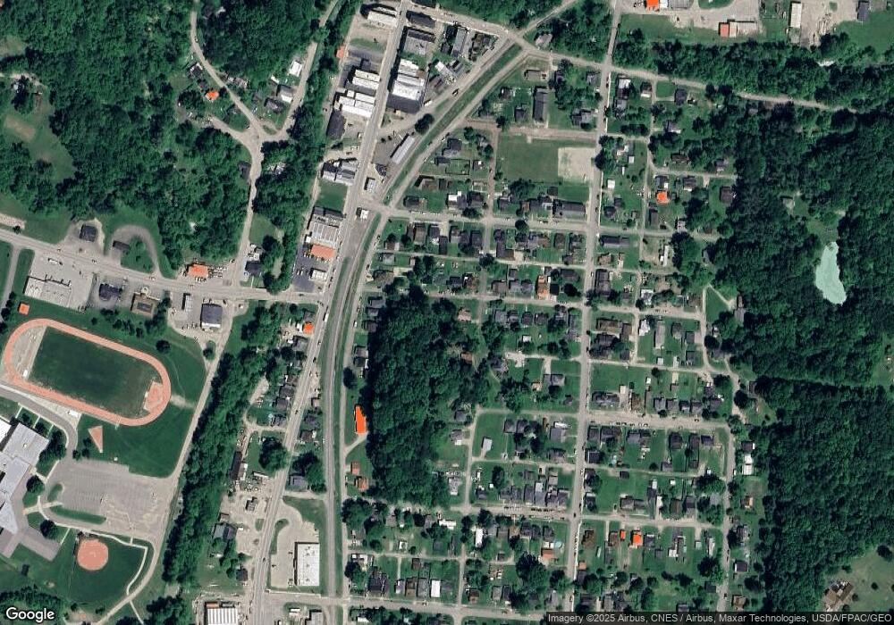
16 Maple St Glouster, OH 45732
Estimated Value: $66,000 - $106,000
3
Beds
1
Bath
1,012
Sq Ft
$78/Sq Ft
Est. Value
About This Home
This home is located at 16 Maple St, Glouster, OH 45732 and is currently estimated at $79,052, approximately $78 per square foot. 16 Maple St is a home located in Athens County with nearby schools including Trimble Elementary School, Trimble Middle School, and Trimble High School.
Ownership History
Date
Name
Owned For
Owner Type
Purchase Details
Closed on
Apr 7, 2023
Sold by
Athens County Land Reutilization Corpora
Bought by
Mckee Ethan
Current Estimated Value
Purchase Details
Closed on
Jul 27, 2020
Sold by
Burns Gene S
Bought by
Athens County Land Reutilization Corp
Purchase Details
Closed on
Sep 26, 2005
Sold by
Burns Dianne
Bought by
Burns Gene S
Purchase Details
Closed on
Jan 14, 2002
Sold by
Liming Michael and Liming Denday
Bought by
Burns Gene and Burns Dianne
Purchase Details
Closed on
Jan 7, 1999
Sold by
Patton Charles F
Bought by
Liming Michael and Liming Denday
Purchase Details
Closed on
Aug 12, 1994
Sold by
Patton Charles F Evelyn B
Bought by
Patton Charles F
Create a Home Valuation Report for This Property
The Home Valuation Report is an in-depth analysis detailing your home's value as well as a comparison with similar homes in the area
Purchase History
| Date | Buyer | Sale Price | Title Company |
|---|---|---|---|
| Mckee Ethan | -- | None Listed On Document | |
| Mckee Ethan | -- | None Listed On Document | |
| Athens County Land Reutilization Corp | -- | None Available | |
| Burns Gene S | -- | None Available | |
| Burns Gene | $500 | -- | |
| Liming Michael | -- | -- | |
| Patton Charles F | -- | -- |
Source: Public Records
Tax History
| Year | Tax Paid | Tax Assessment Tax Assessment Total Assessment is a certain percentage of the fair market value that is determined by local assessors to be the total taxable value of land and additions on the property. | Land | Improvement |
|---|---|---|---|---|
| 2024 | $105 | $1,400 | $1,400 | $0 |
| 2023 | -- | $1,400 | $1,400 | $0 |
| 2022 | $411 | $2,500 | $1,400 | $1,100 |
| 2021 | $0 | $2,500 | $1,400 | $1,100 |
| 2020 | $411 | $2,500 | $1,400 | $1,100 |
| 2019 | $411 | $2,250 | $1,240 | $1,010 |
| 2018 | $364 | $2,250 | $1,240 | $1,010 |
| 2017 | $304 | $2,250 | $1,240 | $1,010 |
| 2016 | $131 | $2,180 | $1,240 | $940 |
| 2015 | $615 | $2,180 | $1,240 | $940 |
| 2014 | $615 | $2,180 | $1,240 | $940 |
| 2013 | $533 | $2,130 | $1,180 | $950 |
Source: Public Records
Map
Nearby Homes
Your Personal Tour Guide
Ask me questions while you tour the home.