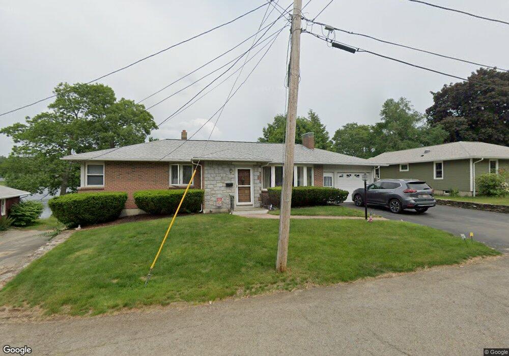
16 Massasoit Dr Leicester, MA 01524
Estimated Value: $425,000 - $532,000
3
Beds
2
Baths
1,340
Sq Ft
$351/Sq Ft
Est. Value
About This Home
This home is located at 16 Massasoit Dr, Leicester, MA 01524 and is currently estimated at $469,883, approximately $350 per square foot. 16 Massasoit Dr is a home located in Worcester County with nearby schools including Leicester Integrated Preschool, Leicester Memorial Elementary School, and Leicester Middle School.
Ownership History
Date
Name
Owned For
Owner Type
Purchase Details
Closed on
Jul 22, 2011
Sold by
Noble Walter M Est and Noble
Bought by
Ferdella Karyn M
Current Estimated Value
Home Financials for this Owner
Home Financials are based on the most recent Mortgage that was taken out on this home.
Original Mortgage
$220,685
Outstanding Balance
$152,990
Interest Rate
4.75%
Mortgage Type
FHA
Estimated Equity
$316,893
Create a Home Valuation Report for This Property
The Home Valuation Report is an in-depth analysis detailing your home's value as well as a comparison with similar homes in the area
Home Values in the Area
Average Home Value in this Area
Purchase History
| Date | Buyer | Sale Price | Title Company |
|---|---|---|---|
| Ferdella Karyn M | $231,500 | -- | |
| Ferdella Karyn M | $231,500 | -- | |
| Ferdella Karyn M | $231,500 | -- |
Source: Public Records
Mortgage History
| Date | Status | Borrower | Loan Amount |
|---|---|---|---|
| Open | Ferdella Karyn M | $220,685 | |
| Closed | Ferdella Karyn M | $220,685 | |
| Previous Owner | Ferdella Karyn M | $45,000 |
Source: Public Records
Tax History
| Year | Tax Paid | Tax Assessment Tax Assessment Total Assessment is a certain percentage of the fair market value that is determined by local assessors to be the total taxable value of land and additions on the property. | Land | Improvement |
|---|---|---|---|---|
| 2025 | $55 | $468,100 | $149,300 | $318,800 |
| 2024 | $5,277 | $420,500 | $135,400 | $285,100 |
| 2023 | $5,069 | $394,200 | $135,400 | $258,800 |
| 2022 | $4,957 | $354,300 | $129,200 | $225,100 |
| 2021 | $5,056 | $334,200 | $118,000 | $216,200 |
| 2020 | $4,316 | $289,500 | $110,300 | $179,200 |
| 2019 | $4,109 | $272,500 | $101,100 | $171,400 |
| 2018 | $4,135 | $257,000 | $101,100 | $155,900 |
| 2017 | $3,474 | $224,400 | $69,900 | $154,500 |
| 2016 | $3,163 | $212,300 | $75,400 | $136,900 |
| 2015 | $3,087 | $212,300 | $75,400 | $136,900 |
Source: Public Records
Map
Nearby Homes
- 27 Winslow Ave
- 500 Main St
- 46 Chapel St
- 0 S Main St Unit 73392435
- 135 Henshaw St
- 2 Shelter Ridge Rd
- 1511 Main St Unit C405
- 11 Timrod Dr
- 23B Timrod Dr
- 502 Pine St
- 13 Merchant St
- 76 Parsons Hill Dr Unit A
- 34 Scandinavia Ave
- 128 Wildwood Ave
- 32 Goddard Memorial Dr
- 1548 Main St
- 57 1st St
- 315 Stafford St
- 1576 Main St
- 55 Grandview Ave
Your Personal Tour Guide
Ask me questions while you tour the home.