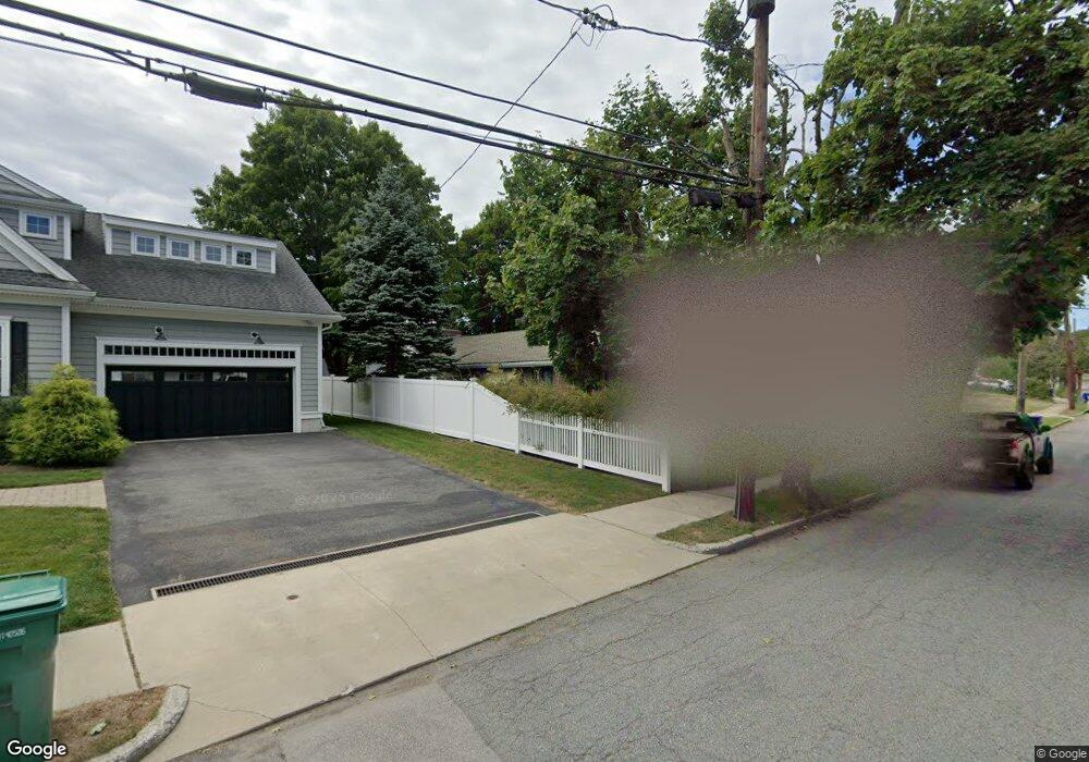
16 Maynard St West Newton, MA 02465
West Newton NeighborhoodEstimated Value: $1,204,000 - $1,492,000
3
Beds
2
Baths
1,760
Sq Ft
$769/Sq Ft
Est. Value
About This Home
This home is located at 16 Maynard St, West Newton, MA 02465 and is currently estimated at $1,353,146, approximately $768 per square foot. 16 Maynard St is a home located in Middlesex County with nearby schools including Horace Mann Elementary School, F.A. Day Middle School, and Newton North High School.
Ownership History
Date
Name
Owned For
Owner Type
Purchase Details
Closed on
Jul 21, 1999
Sold by
Roberts John C and Roberts Carla M
Bought by
Notick Philip C and Mcgee Melinda
Current Estimated Value
Home Financials for this Owner
Home Financials are based on the most recent Mortgage that was taken out on this home.
Original Mortgage
$225,000
Interest Rate
7.49%
Mortgage Type
Purchase Money Mortgage
Purchase Details
Closed on
Nov 14, 1991
Sold by
Wilson Constance A
Bought by
Roberts John C and Roberts Carla M
Create a Home Valuation Report for This Property
The Home Valuation Report is an in-depth analysis detailing your home's value as well as a comparison with similar homes in the area
Home Values in the Area
Average Home Value in this Area
Purchase History
| Date | Buyer | Sale Price | Title Company |
|---|---|---|---|
| Notick Philip C | $325,000 | -- | |
| Roberts John C | $198,000 | -- |
Source: Public Records
Mortgage History
| Date | Status | Borrower | Loan Amount |
|---|---|---|---|
| Open | Roberts John C | $221,000 | |
| Closed | Roberts John C | $225,000 | |
| Previous Owner | Roberts John C | $154,000 | |
| Previous Owner | Roberts John C | $154,500 |
Source: Public Records
Tax History
| Year | Tax Paid | Tax Assessment Tax Assessment Total Assessment is a certain percentage of the fair market value that is determined by local assessors to be the total taxable value of land and additions on the property. | Land | Improvement |
|---|---|---|---|---|
| 2025 | $9,195 | $938,300 | $863,700 | $74,600 |
| 2024 | $8,891 | $911,000 | $838,500 | $72,500 |
| 2023 | $8,355 | $820,700 | $640,700 | $180,000 |
| 2022 | $7,994 | $759,900 | $593,200 | $166,700 |
| 2021 | $7,714 | $716,900 | $559,600 | $157,300 |
| 2020 | $7,484 | $716,900 | $559,600 | $157,300 |
| 2019 | $7,273 | $696,000 | $543,300 | $152,700 |
| 2018 | $6,924 | $639,900 | $491,300 | $148,600 |
| 2017 | $6,713 | $603,700 | $463,500 | $140,200 |
| 2016 | $6,421 | $564,200 | $433,200 | $131,000 |
| 2015 | $6,122 | $527,300 | $404,900 | $122,400 |
Source: Public Records
Map
Nearby Homes
- 76 Taft Ave
- 76 Taft Ave Unit 2
- 76 Taft Ave Unit 1
- 88 Warwick Rd Unit 1
- 14 Schofield Dr
- 51 Farwell St
- 321 Albemarle Rd
- 5 Derby St
- 349 Linwood Ave Unit 1
- 356 Linwood Ave Unit 1
- 73 Walnut St Unit 6
- 38 Barbara Rd
- 611 Watertown St Unit 14
- 712 Watertown St
- 710 Watertown St Unit 710
- 14 Wedgewood Rd
- 401 Albemarle Rd Unit 2
- 26 Friend St
- 189 Linwood Ave Unit 1
- 4 Repton Cir Unit 4213
- 24 Maynard St
- 24 Maynard St Unit 24
- 10 Maynard St
- 447 Crafts St
- 30 Maynard St
- 435 Crafts St
- 19 Maynard St
- 165 Albemarle Rd
- 11 Maynard St
- 451 Crafts St
- 169 Albemarle Rd
- 36 Maynard St
- 36 Maynard St Unit 9999
- 9 Mosman St
- 151 Albemarle Rd
- 429 Crafts St
- 429 Crafts St Unit 1
- 427-429 Crafts St Unit 1
- 427 Crafts St Unit 429
- 459 Crafts St
Your Personal Tour Guide
Ask me questions while you tour the home.