16 Michael Rd North Billerica, MA 01862
Estimated Value: $653,162 - $687,000
3
Beds
2
Baths
1,983
Sq Ft
$340/Sq Ft
Est. Value
About This Home
This home is located at 16 Michael Rd, North Billerica, MA 01862 and is currently estimated at $675,041, approximately $340 per square foot. 16 Michael Rd is a home located in Middlesex County with nearby schools including Billerica Memorial High School.
Ownership History
Date
Name
Owned For
Owner Type
Purchase Details
Closed on
Mar 28, 2022
Sold by
Treska Deborah M and Treska Robert P
Bought by
Treska
Current Estimated Value
Purchase Details
Closed on
Jul 17, 1998
Sold by
Smith Robert F and Smith Maria G
Bought by
Camplese Robert J and Camplese Faith A
Purchase Details
Closed on
Feb 20, 1997
Sold by
Marcantonio Daniel A and Marcantonio Joyce E
Bought by
Treska Robert P and Treska Deborah M
Purchase Details
Closed on
Dec 8, 1989
Sold by
Ford Lewis
Bought by
Marcantonio Daniel
Create a Home Valuation Report for This Property
The Home Valuation Report is an in-depth analysis detailing your home's value as well as a comparison with similar homes in the area
Home Values in the Area
Average Home Value in this Area
Purchase History
| Date | Buyer | Sale Price | Title Company |
|---|---|---|---|
| Treska | -- | None Available | |
| Camplese Robert J | $205,000 | -- | |
| Treska Robert P | $155,000 | -- | |
| Marcantonio Daniel | $49,253 | -- | |
| Marcantonio Daniel | $49,253 | -- |
Source: Public Records
Mortgage History
| Date | Status | Borrower | Loan Amount |
|---|---|---|---|
| Previous Owner | Marcantonio Daniel | $150,000 | |
| Previous Owner | Marcantonio Daniel | $155,000 | |
| Previous Owner | Marcantonio Daniel | $154,100 |
Source: Public Records
Tax History Compared to Growth
Tax History
| Year | Tax Paid | Tax Assessment Tax Assessment Total Assessment is a certain percentage of the fair market value that is determined by local assessors to be the total taxable value of land and additions on the property. | Land | Improvement |
|---|---|---|---|---|
| 2025 | $6,847 | $602,200 | $335,500 | $266,700 |
| 2024 | $6,394 | $566,300 | $328,800 | $237,500 |
| 2023 | $6,112 | $514,900 | $286,900 | $228,000 |
| 2022 | $5,594 | $442,600 | $249,400 | $193,200 |
| 2021 | $5,294 | $407,200 | $220,200 | $187,000 |
| 2020 | $5,173 | $398,200 | $211,200 | $187,000 |
| 2019 | $5,197 | $385,500 | $211,200 | $174,300 |
| 2018 | $4,975 | $350,600 | $187,500 | $163,100 |
| 2017 | $4,650 | $330,000 | $181,600 | $148,400 |
| 2016 | $4,610 | $326,000 | $177,600 | $148,400 |
| 2015 | $4,577 | $326,000 | $177,600 | $148,400 |
| 2014 | $4,603 | $322,100 | $170,100 | $152,000 |
Source: Public Records
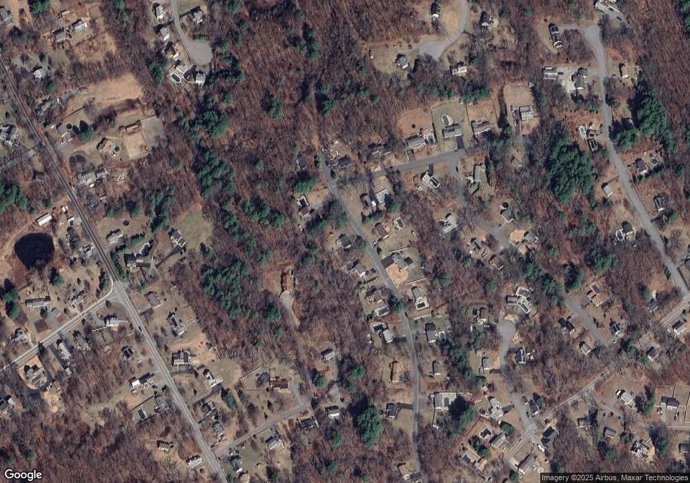
Map
Nearby Homes
- 9 Laurie Ann Ln
- 30 Mckenna Dr Unit 30
- 8 Corthell Rd
- 1 Lincoln Rd
- 44 Oak St
- 0 Fitzpatrick Ln
- 167 Charles Dr
- 160 Booth St
- 189 Lakeview St
- 206 Shoreline Dr
- 24 Upton St
- 221 Shoreline Dr
- 214 Shoreline Dr
- 18 Jaclyn's Way Unit 18
- 18 Jaclyn's Way
- 48 Old Elm St
- 20 Pollard St
- 251 Whipple Rd
- 6 Kohlrausch Ave
- 36 Lowell St
- 17 Michael Rd
- 15 Michael Rd
- 18 Michael Rd
- 14 Michael Rd
- 13 Michael Rd
- 12 Michael Rd
- 10 Alrose Dr
- 20 Michael Rd
- 11 Michael Rd
- 14 Theresa Ave
- 12 Theresa Ave
- 18 Crooked Spring Rd
- 10 Michael Rd
- 20 Crooked Spring Rd
- 8 Theresa Ave
- 12 Alrose Dr
- 9 Michael Rd
- 6 Theresa Ave
- 11 Theresa Ave
- 22 Crooked Spring Rd