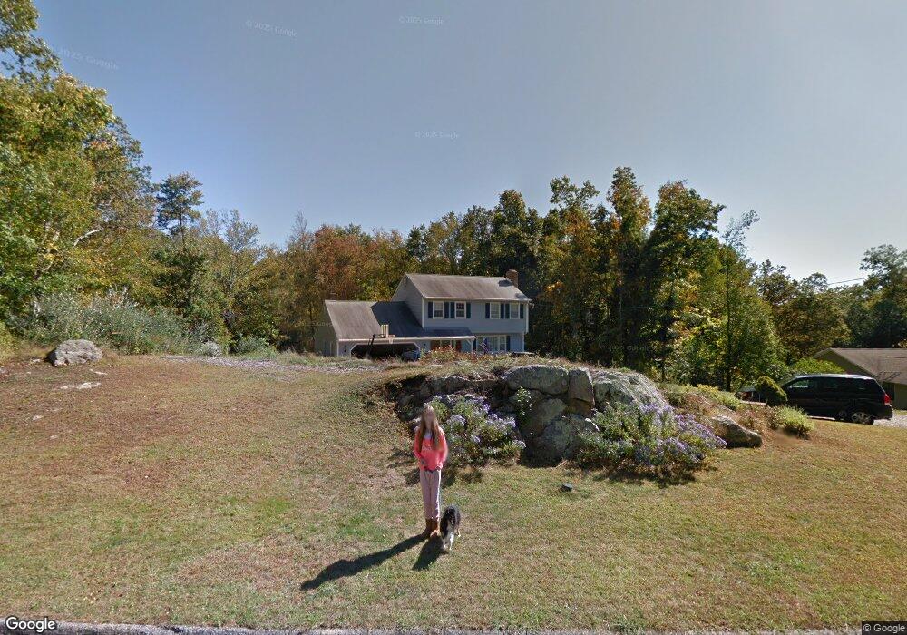
16 Misty Vale Rd Sandy Hook, CT 06482
Estimated Value: $539,844 - $606,000
3
Beds
3
Baths
1,702
Sq Ft
$341/Sq Ft
Est. Value
About This Home
This home is located at 16 Misty Vale Rd, Sandy Hook, CT 06482 and is currently estimated at $580,461, approximately $341 per square foot. 16 Misty Vale Rd is a home located in Fairfield County with nearby schools including Sandy Hook Elementary School, Reed Intermediate School, and Newtown Middle School.
Ownership History
Date
Name
Owned For
Owner Type
Purchase Details
Closed on
Nov 23, 2005
Sold by
Hewet Russell and Hewitt Constance
Bought by
Sgobbo Charles and Sgobbo June
Current Estimated Value
Home Financials for this Owner
Home Financials are based on the most recent Mortgage that was taken out on this home.
Original Mortgage
$334,400
Interest Rate
6.06%
Create a Home Valuation Report for This Property
The Home Valuation Report is an in-depth analysis detailing your home's value as well as a comparison with similar homes in the area
Home Values in the Area
Average Home Value in this Area
Purchase History
We collect this data history from publicly available records. To have your information removed, we recommend requesting removal directly through your county’s website.
| Date | Buyer | Sale Price | Title Company |
|---|---|---|---|
| Sgobbo Charles | $418,000 | -- | |
| Sgobbo Charles | $418,000 | -- |
Source: Public Records
Mortgage History
We collect this data history from publicly available records. To have your information removed, we recommend requesting removal directly through your county’s website.
| Date | Status | Borrower | Loan Amount |
|---|---|---|---|
| Open | Sgobbo Charles | $310,435 | |
| Closed | Sgobbo Charles | $28,500 | |
| Closed | Sgobbo Charles | $34,000 | |
| Closed | Sgobbo Charles | $334,400 |
Source: Public Records
Tax History
| Year | Tax Paid | Tax Assessment Tax Assessment Total Assessment is a certain percentage of the fair market value that is determined by local assessors to be the total taxable value of land and additions on the property. | Land | Improvement |
|---|---|---|---|---|
| 2025 | $8,507 | $296,010 | $81,050 | $214,960 |
| 2024 | $7,983 | $296,010 | $81,050 | $214,960 |
| 2023 | $7,767 | $296,010 | $81,050 | $214,960 |
| 2022 | $7,021 | $202,520 | $70,130 | $132,390 |
| 2021 | $7,017 | $202,520 | $70,130 | $132,390 |
| 2020 | $7,040 | $202,520 | $70,130 | $132,390 |
| 2019 | $7,042 | $202,520 | $70,130 | $132,390 |
| 2018 | $6,934 | $202,520 | $70,130 | $132,390 |
| 2017 | $6,569 | $193,950 | $74,030 | $119,920 |
| 2016 | $6,517 | $193,950 | $74,030 | $119,920 |
| 2015 | $6,414 | $193,950 | $74,030 | $119,920 |
| 2014 | $6,460 | $193,950 | $74,030 | $119,920 |
Source: Public Records
Map
Nearby Homes
- 22 Misty Vale Rd
- 7 Jeremiah Rd
- 10 Ironwood Rd
- 21 Pearl St
- 7 Longview Rd
- 15 Timber Mill Connecticut Rd
- 15 Timbermill Rd
- 18 Gelding Hill Rd
- 10 Capitol Dr
- 6 Hoseye Coach Rd
- 44 Gelding Hill Rd
- 51 Chipmunk Trail
- 23 Pootatuck Trail
- 89 Alpine Dr
- 41 Charter Ridge Dr
- 6 High Rock Rd
- 4 Sunnyview Terrace
- 93 Toddy Hill Rd
- 22 Hemlock Trail
- 297 Lakemere Dr
Your Personal Tour Guide
Ask me questions while you tour the home.