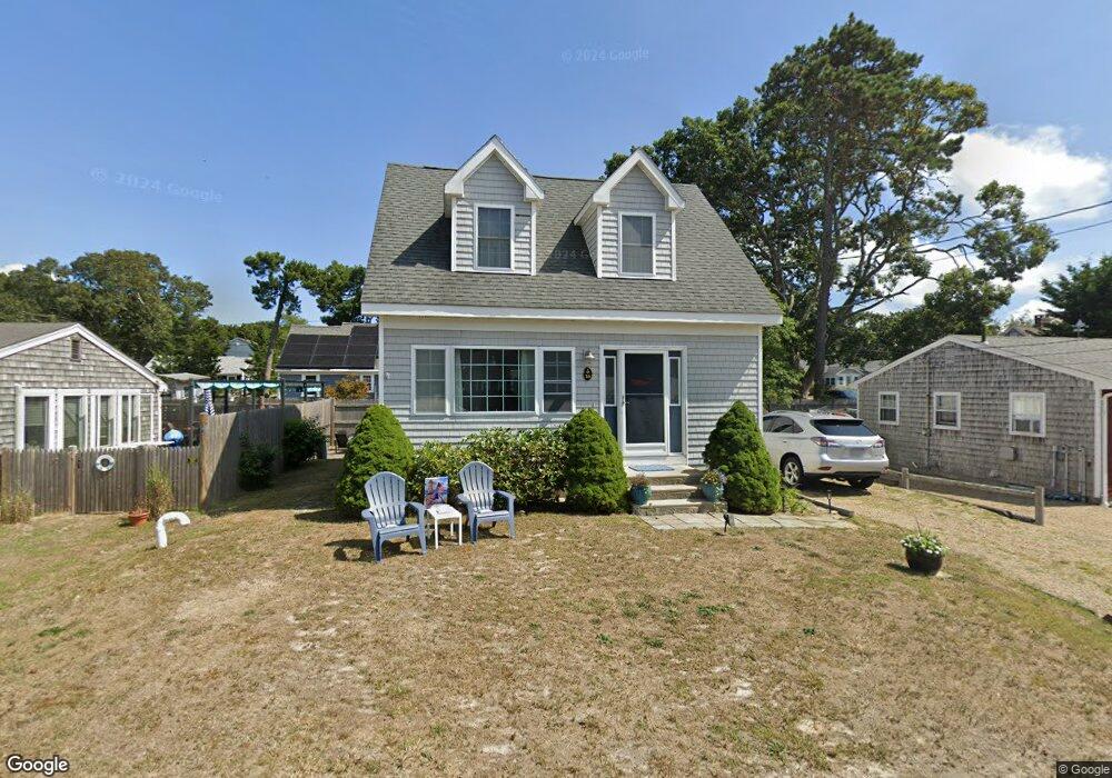
16 Myrtle Rd Dennis Port, MA 02639
Dennis Port NeighborhoodEstimated Value: $518,000 - $752,000
2
Beds
2
Baths
1,076
Sq Ft
$602/Sq Ft
Est. Value
About This Home
This home is located at 16 Myrtle Rd, Dennis Port, MA 02639 and is currently estimated at $647,600, approximately $601 per square foot. 16 Myrtle Rd is a home located in Barnstable County with nearby schools including Dennis-Yarmouth Regional High School and St. Pius X. School.
Ownership History
Date
Name
Owned For
Owner Type
Purchase Details
Closed on
Jan 10, 2020
Sold by
Kervin Stacey M
Bought by
16 Myrtle Rt
Current Estimated Value
Purchase Details
Closed on
May 12, 2011
Sold by
Buckman Kimberly R
Bought by
Narveson Stacey M
Home Financials for this Owner
Home Financials are based on the most recent Mortgage that was taken out on this home.
Original Mortgage
$247,200
Interest Rate
4.88%
Mortgage Type
Purchase Money Mortgage
Purchase Details
Closed on
Sep 29, 2004
Sold by
Heenan Alice P
Bought by
Buckman Kimberly R
Create a Home Valuation Report for This Property
The Home Valuation Report is an in-depth analysis detailing your home's value as well as a comparison with similar homes in the area
Home Values in the Area
Average Home Value in this Area
Purchase History
| Date | Buyer | Sale Price | Title Company |
|---|---|---|---|
| 16 Myrtle Rt | -- | None Available | |
| Narveson Stacey M | $277,200 | -- | |
| Buckman Kimberly R | $200,000 | -- |
Source: Public Records
Mortgage History
| Date | Status | Borrower | Loan Amount |
|---|---|---|---|
| Previous Owner | Narveson Stacey M | $247,200 |
Source: Public Records
Tax History Compared to Growth
Tax History
| Year | Tax Paid | Tax Assessment Tax Assessment Total Assessment is a certain percentage of the fair market value that is determined by local assessors to be the total taxable value of land and additions on the property. | Land | Improvement |
|---|---|---|---|---|
| 2025 | $2,690 | $621,200 | $266,500 | $354,700 |
| 2024 | $2,572 | $585,900 | $256,300 | $329,600 |
| 2023 | $2,504 | $536,200 | $233,000 | $303,200 |
| 2022 | $2,259 | $403,400 | $183,700 | $219,700 |
| 2021 | $2,227 | $369,300 | $180,100 | $189,200 |
| 2020 | $2,199 | $360,500 | $180,100 | $180,400 |
| 2019 | $2,185 | $354,200 | $191,700 | $162,500 |
| 2018 | $2,151 | $339,300 | $182,500 | $156,800 |
| 2017 | $1,998 | $324,900 | $168,100 | $156,800 |
| 2016 | $1,905 | $291,800 | $158,500 | $133,300 |
| 2015 | $1,868 | $291,800 | $158,500 | $133,300 |
| 2014 | $1,765 | $278,000 | $148,900 | $129,100 |
Source: Public Records
Map
Nearby Homes
- 22 Ferncliff Rd
- 37-A Beach Hills Rd
- 102 Sea St
- 37 Beach Hills Rd
- 262 Old Wharf Rd Unit 67
- 262 Old Wharf Rd Unit 5
- 262 Old Wharf Rd Unit 5
- 262 Old Wharf Rd Unit 20
- 262 Old Wharf Rd Unit 87
- 402 Old Wharf Rd
- 402 Old Wharf Rd
- 31 Easy St
- 241 Old Wharf Rd Unit 82
- 241 Old Wharf Rd Unit 127
- 241 Old Wharf Rd Unit 90
- 405 Old Wharf Rd Unit B204
- 405 Old Wharf Rd Unit B204
- 22 Wixon Rd
- 217 Old Wharf Rd Unit 64
- 11 Ocean Park W