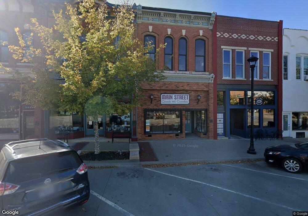
16 N Main St Liberty, MO 64068
Estimated Value: $492,913
--
Bed
--
Bath
1,600
Sq Ft
$308/Sq Ft
Est. Value
About This Home
This home is located at 16 N Main St, Liberty, MO 64068 and is currently priced at $492,913, approximately $308 per square foot. 16 N Main St is a home located in Clay County with nearby schools including Franklin Elementary School, Heritage Middle School, and Liberty North High School.
Ownership History
Date
Name
Owned For
Owner Type
Purchase Details
Closed on
Oct 2, 2025
Sold by
Downtown Liberty Redevelopment Corporati
Bought by
Mace Daryl Allen
Current Estimated Value
Purchase Details
Closed on
May 2, 2017
Sold by
Dugdale Gail A
Bought by
Downtown Liberty Redevelopment Copr
Purchase Details
Closed on
Feb 26, 2010
Sold by
Johnston Kirk W
Bought by
Dugdale Gail A
Home Financials for this Owner
Home Financials are based on the most recent Mortgage that was taken out on this home.
Original Mortgage
$350,000
Interest Rate
5.05%
Mortgage Type
Future Advance Clause Open End Mortgage
Create a Home Valuation Report for This Property
The Home Valuation Report is an in-depth analysis detailing your home's value as well as a comparison with similar homes in the area
Home Values in the Area
Average Home Value in this Area
Purchase History
| Date | Buyer | Sale Price | Title Company |
|---|---|---|---|
| Mace Daryl Allen | -- | None Listed On Document | |
| Downtown Liberty Redevelopment Corporation | -- | None Listed On Document | |
| Downtown Liberty Redevelopment Copr | -- | None Available | |
| Dugdale Gail A | -- | Kansas City Title |
Source: Public Records
Mortgage History
| Date | Status | Borrower | Loan Amount |
|---|---|---|---|
| Previous Owner | Dugdale Gail A | $350,000 |
Source: Public Records
Tax History Compared to Growth
Tax History
| Year | Tax Paid | Tax Assessment Tax Assessment Total Assessment is a certain percentage of the fair market value that is determined by local assessors to be the total taxable value of land and additions on the property. | Land | Improvement |
|---|---|---|---|---|
| 2025 | $462 | $4,800 | -- | -- |
| 2024 | $462 | $4,800 | -- | -- |
| 2023 | $467 | $4,800 | $0 | $0 |
| 2022 | $479 | $4,800 | $0 | $0 |
| 2021 | $454 | $37,763 | $4,800 | $32,963 |
| 2020 | $497 | $4,770 | $0 | $0 |
| 2019 | $494 | $33,024 | $4,768 | $28,256 |
| 2018 | $506 | $4,770 | $0 | $0 |
| 2017 | $4,968 | $4,770 | $4,770 | $0 |
| 2016 | $4,968 | $52,610 | $7,600 | $45,010 |
| 2015 | $4,968 | $52,610 | $7,600 | $45,010 |
| 2014 | $5,003 | $52,610 | $7,600 | $45,010 |
Source: Public Records
Map
Nearby Homes
- 307 N Gallatin St
- 1988 Longview Dr
- 0 N Water St
- 125 N Leonard St
- 409 N Morse Ave
- 324 Harrison St
- 116 Dorsey St
- 134 S Lincoln St
- 471 E Kansas St
- 463 E Mill St
- 21 Cedar St
- 40 S Jewell St
- 435 Ford St
- 408 Doniphan St
- 402 Doniphan St
- 539 N Lightburne St
- 606 N Morse Ave
- 412 N Fairview Ave
- 15 Valley Rd
- 627 N Gallatin St