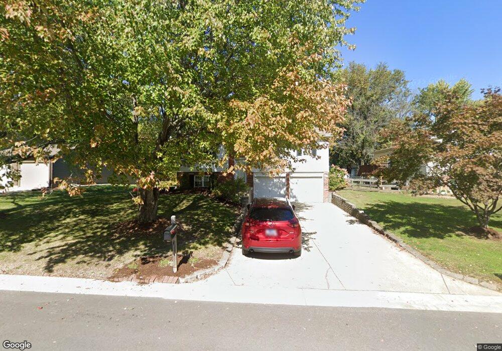
16 Nassau Dr Maryville, IL 62062
Estimated Value: $226,000 - $252,000
3
Beds
1
Bath
1,120
Sq Ft
$211/Sq Ft
Est. Value
About This Home
This home is located at 16 Nassau Dr, Maryville, IL 62062 and is currently estimated at $235,807, approximately $210 per square foot. 16 Nassau Dr is a home located in Madison County with nearby schools including Maryville Elementary School, Dorris Intermediate School, and Collinsville Middle School.
Ownership History
Date
Name
Owned For
Owner Type
Purchase Details
Closed on
Apr 13, 2007
Sold by
Kaffer Ryan M and Kaffer Jennifer L
Bought by
Fletcher Daniel Eugene and Fletcher Denise Iona
Current Estimated Value
Home Financials for this Owner
Home Financials are based on the most recent Mortgage that was taken out on this home.
Original Mortgage
$155,000
Outstanding Balance
$93,975
Interest Rate
6.2%
Mortgage Type
Purchase Money Mortgage
Estimated Equity
$141,832
Create a Home Valuation Report for This Property
The Home Valuation Report is an in-depth analysis detailing your home's value as well as a comparison with similar homes in the area
Home Values in the Area
Average Home Value in this Area
Purchase History
| Date | Buyer | Sale Price | Title Company |
|---|---|---|---|
| Fletcher Daniel Eugene | $155,000 | Abstracts & Titles Inc |
Source: Public Records
Mortgage History
| Date | Status | Borrower | Loan Amount |
|---|---|---|---|
| Open | Fletcher Daniel Eugene | $155,000 |
Source: Public Records
Tax History Compared to Growth
Tax History
| Year | Tax Paid | Tax Assessment Tax Assessment Total Assessment is a certain percentage of the fair market value that is determined by local assessors to be the total taxable value of land and additions on the property. | Land | Improvement |
|---|---|---|---|---|
| 2024 | $3,454 | $57,540 | $4,570 | $52,970 |
| 2023 | $3,454 | $52,420 | $4,160 | $48,260 |
| 2022 | $3,190 | $48,480 | $3,850 | $44,630 |
| 2021 | $2,847 | $45,550 | $3,620 | $41,930 |
| 2020 | $2,731 | $43,460 | $3,450 | $40,010 |
| 2019 | $2,543 | $40,610 | $4,700 | $35,910 |
| 2018 | $2,471 | $38,470 | $4,450 | $34,020 |
| 2017 | $2,455 | $37,700 | $4,360 | $33,340 |
| 2016 | $2,568 | $37,700 | $4,360 | $33,340 |
| 2015 | $2,558 | $36,720 | $4,250 | $32,470 |
| 2014 | $2,558 | $36,720 | $4,250 | $32,470 |
| 2013 | $2,558 | $36,720 | $4,250 | $32,470 |
Source: Public Records
Map
Nearby Homes
- 1 Heather Green
- 2301 Preswyck Ct
- 2009 Buttonwood Ct
- 6817 Bouse Rd
- 1844 Crimson Oak Dr
- 10 Dunbridge Ct
- 1831 Crimson Oak Dr
- 77 Kingsley Way
- 419 N Donk Ave
- 1830 Robin Mills Ct
- 1819 Robin Mills Ct
- 1826 Robin Mills Ct
- 1815 Robins Mill Ct
- 0 Homes of Liberty Place
- 1 Pioneer Trail
- 201 S Lange Ave
- 24 Alta St
- 137 W Zupan St
- 17 Waterford Ln
- 963 Long Branch Rd