16 Olmstead Hill Rd Wilton, CT 06897
Estimated Value: $2,390,000 - $2,827,000
5
Beds
6
Baths
4,895
Sq Ft
$541/Sq Ft
Est. Value
About This Home
This home is located at 16 Olmstead Hill Rd, Wilton, CT 06897 and is currently estimated at $2,645,979, approximately $540 per square foot. 16 Olmstead Hill Rd is a home located in Fairfield County with nearby schools including Miller-Driscoll School, Cider Mill School, and Middlebrook School.
Ownership History
Date
Name
Owned For
Owner Type
Purchase Details
Closed on
Dec 16, 2005
Sold by
Olmstead Hill Grp Llc
Bought by
Carroll Thomas J and Christian Linda M
Current Estimated Value
Home Financials for this Owner
Home Financials are based on the most recent Mortgage that was taken out on this home.
Original Mortgage
$1,592,000
Outstanding Balance
$875,319
Interest Rate
6%
Estimated Equity
$1,770,660
Create a Home Valuation Report for This Property
The Home Valuation Report is an in-depth analysis detailing your home's value as well as a comparison with similar homes in the area
Home Values in the Area
Average Home Value in this Area
Purchase History
| Date | Buyer | Sale Price | Title Company |
|---|---|---|---|
| Carroll Thomas J | $1,990,000 | -- |
Source: Public Records
Mortgage History
| Date | Status | Borrower | Loan Amount |
|---|---|---|---|
| Open | Carroll Thomas J | $810,000 | |
| Open | Carroll Thomas J | $1,592,000 |
Source: Public Records
Tax History Compared to Growth
Tax History
| Year | Tax Paid | Tax Assessment Tax Assessment Total Assessment is a certain percentage of the fair market value that is determined by local assessors to be the total taxable value of land and additions on the property. | Land | Improvement |
|---|---|---|---|---|
| 2025 | $37,183 | $1,523,270 | $329,000 | $1,194,270 |
| 2024 | $36,467 | $1,523,270 | $329,000 | $1,194,270 |
| 2023 | $39,289 | $1,095,570 | $314,720 | $780,850 |
| 2022 | $30,928 | $1,095,570 | $314,720 | $780,850 |
| 2021 | $9,483 | $1,095,570 | $314,720 | $780,850 |
| 2020 | $30,084 | $1,095,570 | $314,720 | $780,850 |
| 2019 | $31,268 | $1,095,570 | $314,720 | $780,850 |
| 2018 | $34,799 | $1,234,450 | $331,730 | $902,720 |
| 2017 | $34,281 | $1,234,450 | $331,730 | $902,720 |
| 2016 | $33,369 | $1,220,520 | $331,730 | $888,790 |
| 2015 | $32,300 | $1,203,860 | $331,730 | $872,130 |
| 2014 | $31,914 | $1,203,860 | $331,730 | $872,130 |
Source: Public Records
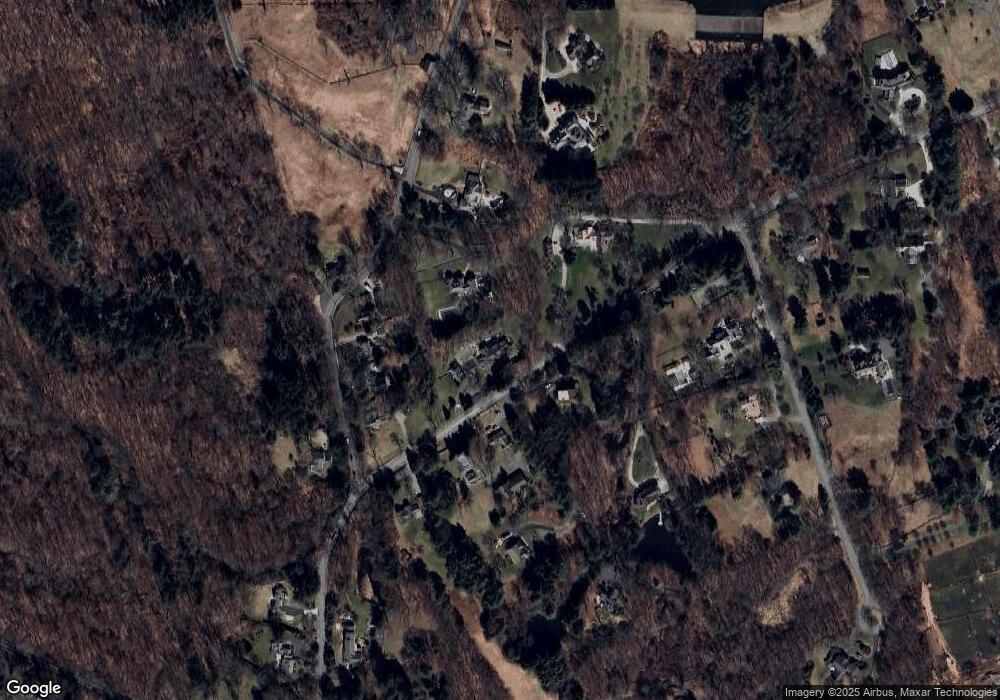
Map
Nearby Homes
- 330 Ridgefield Rd
- 112 Middlebrook Farm Rd
- 33 Middlebrook Farm Rd
- 111 Deforest Rd
- 10 Woodhill Rd
- 35 Branch Brook Rd
- 55 Tanners Dr
- 1 Canaan Cir
- 33 Cannon Rd
- 44 Benedict Hill Rd
- 81 Graenest Ridge Rd
- 439 Cheese Spring Rd
- 30 Wild Duck Rd
- 15 River Rd Unit STE 210
- 38 Honey Hill Rd
- 531L N Wilton Rd
- 533L N Wilton Rd
- 35 Village Walk
- 469L N Wilton Rd
- 469, 531,533 N Wilton Rd
- 6 Olmstead Hill Rd
- 46 Nod Hill Rd
- 27 Olmstead Hill Rd
- 52 Nod Hill Rd
- 19 Olmstead Hill Rd
- 3 Olmstead Hill Rd
- 64 Nod Hill Rd
- 60 Nod Hill Rd
- 41 Nod Hill Rd
- 15 Olmstead Hill Rd
- 28 Olmstead Hill Rd
- 29 Olmstead Hill Rd
- 72 Nod Hill Rd
- 21 Olmstead Hill Rd
- 11 English Dr
- 23 Nod Hill Rd
- 20 Nod Hill Rd
- 100 Nod Hill Rd
- 25 English Dr
- 31 English Dr