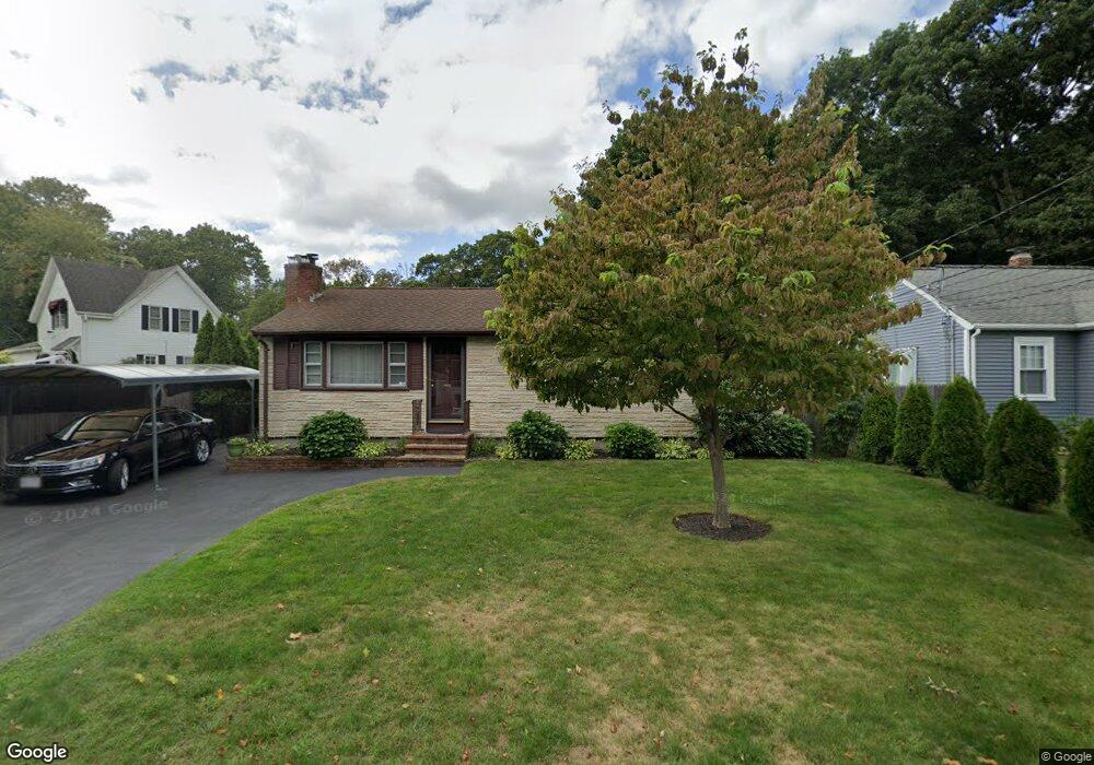
16 Oneida Ave Brockton, MA 02301
Estimated Value: $353,000 - $483,000
3
Beds
1
Bath
1,008
Sq Ft
$412/Sq Ft
Est. Value
About This Home
This home is located at 16 Oneida Ave, Brockton, MA 02301 and is currently estimated at $415,516, approximately $412 per square foot. 16 Oneida Ave is a home located in Plymouth County with nearby schools including Louis F Angelo Elementary School, Hancock Elementary School, and Raymond K-8 Elementary School.
Ownership History
Date
Name
Owned For
Owner Type
Purchase Details
Closed on
Nov 8, 2023
Sold by
Lopes Carlos A and Lopes Margarida B
Bought by
Lopes Ft and Barry
Current Estimated Value
Purchase Details
Closed on
Dec 29, 1989
Sold by
Johnston Edwin J
Bought by
Lopes Carlos A
Home Financials for this Owner
Home Financials are based on the most recent Mortgage that was taken out on this home.
Original Mortgage
$96,800
Interest Rate
9.61%
Mortgage Type
Purchase Money Mortgage
Create a Home Valuation Report for This Property
The Home Valuation Report is an in-depth analysis detailing your home's value as well as a comparison with similar homes in the area
Home Values in the Area
Average Home Value in this Area
Purchase History
| Date | Buyer | Sale Price | Title Company |
|---|---|---|---|
| Lopes Ft | -- | None Available | |
| Lopes Carlos A | $121,000 | -- |
Source: Public Records
Mortgage History
| Date | Status | Borrower | Loan Amount |
|---|---|---|---|
| Previous Owner | Lopes Carlos A | $80,000 | |
| Previous Owner | Lopes Carlos A | $95,000 | |
| Previous Owner | Lopes Carlos A | $96,800 | |
| Previous Owner | Lopes Carlos A | $65,000 |
Source: Public Records
Tax History Compared to Growth
Tax History
| Year | Tax Paid | Tax Assessment Tax Assessment Total Assessment is a certain percentage of the fair market value that is determined by local assessors to be the total taxable value of land and additions on the property. | Land | Improvement |
|---|---|---|---|---|
| 2025 | $4,246 | $350,600 | $143,700 | $206,900 |
| 2024 | $4,249 | $353,500 | $143,700 | $209,800 |
| 2023 | $4,529 | $348,900 | $108,300 | $240,600 |
| 2022 | $4,279 | $306,300 | $98,300 | $208,000 |
| 2021 | $3,835 | $264,500 | $90,100 | $174,400 |
| 2020 | $3,912 | $258,200 | $86,600 | $171,600 |
| 2019 | $3,834 | $246,700 | $79,700 | $167,000 |
| 2018 | $3,535 | $220,100 | $79,700 | $140,400 |
| 2017 | $3,083 | $191,500 | $79,700 | $111,800 |
| 2016 | $3,050 | $175,700 | $72,100 | $103,600 |
| 2015 | $2,933 | $161,600 | $72,100 | $89,500 |
| 2014 | $2,763 | $152,400 | $72,100 | $80,300 |
Source: Public Records
Map
Nearby Homes
- 20 Montauk Rd
- 75 Colonel Bell Dr Unit 77-11
- 77 Colonel Bell Dr Unit 4
- 721 Pleasant St
- 126 Coventry Cir
- 96 Coventry Cir
- 15 Troy St
- 7 N Winnifred Rd
- 45 Cross St
- 4 Park Rd
- 508 Oak St Unit 10
- 114 Oak Ln Unit 11
- 116 Oak Ln Unit 12
- 116 Oak Ln Unit 2
- 161 Moraine St
- 72 Kurland Ave
- 118 Oak Ln Unit 10
- 72 W Elm Terrace
- 235 Oak St
- 194 Prospect St