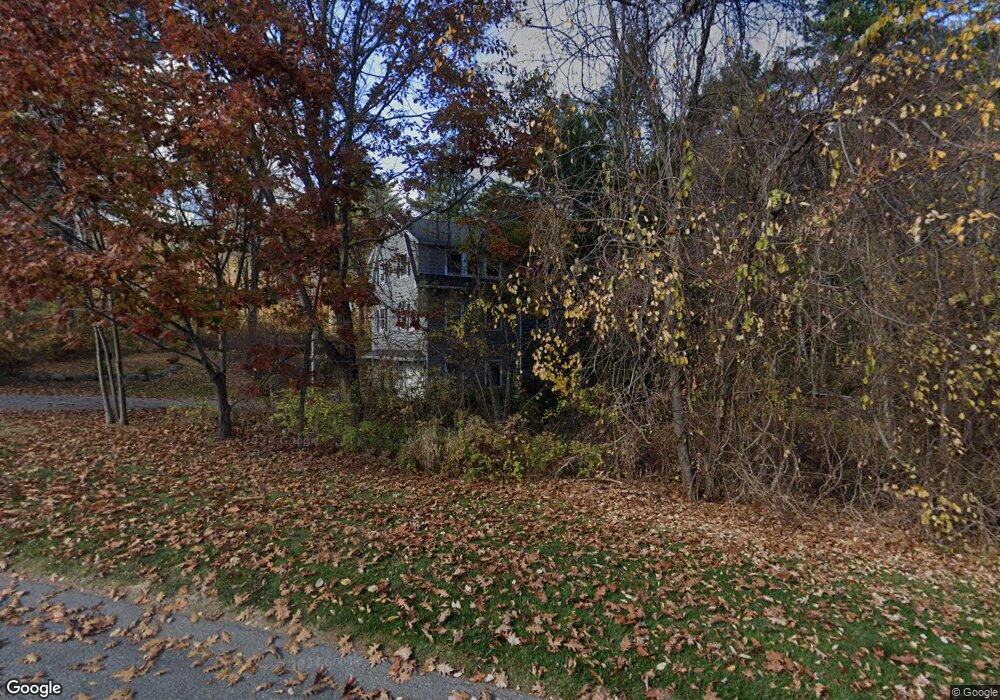
16 Paige Farm Rd Amesbury, MA 01913
Estimated Value: $844,236 - $939,000
3
Beds
3
Baths
2,500
Sq Ft
$358/Sq Ft
Est. Value
About This Home
This home is located at 16 Paige Farm Rd, Amesbury, MA 01913 and is currently estimated at $895,309, approximately $358 per square foot. 16 Paige Farm Rd is a home located in Essex County with nearby schools including Amesbury High School and Amesbury Seventh-Day Adventist School.
Ownership History
Date
Name
Owned For
Owner Type
Purchase Details
Closed on
Dec 6, 2017
Sold by
Moulron Sean P
Bought by
Marshall Melissa
Current Estimated Value
Home Financials for this Owner
Home Financials are based on the most recent Mortgage that was taken out on this home.
Original Mortgage
$336,500
Outstanding Balance
$283,304
Interest Rate
3.94%
Mortgage Type
New Conventional
Estimated Equity
$612,005
Create a Home Valuation Report for This Property
The Home Valuation Report is an in-depth analysis detailing your home's value as well as a comparison with similar homes in the area
Home Values in the Area
Average Home Value in this Area
Purchase History
| Date | Buyer | Sale Price | Title Company |
|---|---|---|---|
| Marshall Melissa | -- | -- |
Source: Public Records
Mortgage History
| Date | Status | Borrower | Loan Amount |
|---|---|---|---|
| Open | Marshall Melissa | $336,500 |
Source: Public Records
Tax History Compared to Growth
Tax History
| Year | Tax Paid | Tax Assessment Tax Assessment Total Assessment is a certain percentage of the fair market value that is determined by local assessors to be the total taxable value of land and additions on the property. | Land | Improvement |
|---|---|---|---|---|
| 2025 | $11,434 | $747,300 | $310,900 | $436,400 |
| 2024 | $10,920 | $698,200 | $293,700 | $404,500 |
| 2023 | $9,985 | $611,100 | $255,400 | $355,700 |
| 2022 | $9,770 | $552,300 | $223,400 | $328,900 |
| 2021 | $9,182 | $503,100 | $181,900 | $321,200 |
| 2020 | $8,203 | $477,500 | $175,300 | $302,200 |
| 2019 | $8,355 | $454,800 | $175,300 | $279,500 |
| 2018 | $8,162 | $429,800 | $166,900 | $262,900 |
| 2017 | $8,389 | $420,500 | $166,900 | $253,600 |
| 2016 | $8,199 | $404,300 | $166,900 | $237,400 |
Source: Public Records
Map
Nearby Homes
- 25 Whittier Meadows Dr
- 2 Locke Hill Ln
- 1 Brown Ave Unit 1-37
- 1 Brown Ave Unit 3-78
- 1 Brown Ave Unit 3-80
- 3 Brown Ave Unit 75
- 57 Clinton St
- 1 Stacey Ln
- 28 Powderhouse Ct Unit 28
- 16 Glen Devin St
- 10 Mason Ct Unit 10
- 20 Mason Ct
- 48 Orchard St
- 4 Woodsom Dr
- 105 Market St Unit B
- 3 Arlington St
- 103 Market St Unit A
- 101 Market St Unit B
- 101 Market St Unit A
- 25 Cedar St Unit 4
- 18 Paige Farm Rd
- 17 Paige Farm Rd
- 20 Paige Farm Rd
- 19 Paige Farm Rd
- 14 Paige Farm Rd
- 4 Vernon Dr
- 22 Paige Farm Rd
- 3 Vernon Dr
- 24 Paige Farm Rd
- 12 Paige Farm Rd
- 6 Vernon Dr
- 13 Woodman Rd
- 21 Paige Farm Rd
- 17 Woodman Rd
- 19 Woodman Rd
- 13 Paige Farm Rd
- 11 Morse Croft Ln
- 10 Paige Farm Rd
- 9 Morse Croft Ln
- 11 Woodman Rd