16 Peck Ave Plymouth, MA 02360
North Plymouth NeighborhoodEstimated Value: $575,550 - $736,000
6
Beds
2
Baths
2,187
Sq Ft
$307/Sq Ft
Est. Value
About This Home
This home is located at 16 Peck Ave, Plymouth, MA 02360 and is currently estimated at $672,388, approximately $307 per square foot. 16 Peck Ave is a home located in Plymouth County with nearby schools including Hedge Elementary School, Plymouth Community Intermediate, and Plymouth North High School.
Ownership History
Date
Name
Owned For
Owner Type
Purchase Details
Closed on
Apr 5, 2012
Sold by
Perez Alejandro and Perez Cheryl S
Bought by
Perez Ft and Perez
Current Estimated Value
Purchase Details
Closed on
Feb 13, 1998
Sold by
Burt Jane Fm and Quill Julie A
Bought by
Perez Alejandro and Perez Cheryl S
Purchase Details
Closed on
Aug 6, 1991
Sold by
Campbell Pansy C
Bought by
Burt Chris J and Jane F Muldoon
Create a Home Valuation Report for This Property
The Home Valuation Report is an in-depth analysis detailing your home's value as well as a comparison with similar homes in the area
Home Values in the Area
Average Home Value in this Area
Purchase History
| Date | Buyer | Sale Price | Title Company |
|---|---|---|---|
| Perez Ft | -- | -- | |
| Perez Alejandro | $139,500 | -- | |
| Burt Chris J | $122,750 | -- | |
| Burt Chris J | $122,750 | -- |
Source: Public Records
Mortgage History
| Date | Status | Borrower | Loan Amount |
|---|---|---|---|
| Previous Owner | Burt Chris J | $170,000 | |
| Previous Owner | Burt Chris J | $170,000 | |
| Previous Owner | Burt Chris J | $125,500 |
Source: Public Records
Tax History Compared to Growth
Tax History
| Year | Tax Paid | Tax Assessment Tax Assessment Total Assessment is a certain percentage of the fair market value that is determined by local assessors to be the total taxable value of land and additions on the property. | Land | Improvement |
|---|---|---|---|---|
| 2025 | $6,232 | $491,100 | $209,100 | $282,000 |
| 2024 | $5,898 | $458,300 | $192,900 | $265,400 |
| 2023 | $5,734 | $418,200 | $175,800 | $242,400 |
| 2022 | $5,519 | $357,700 | $156,800 | $200,900 |
| 2021 | $0 | $333,700 | $156,800 | $176,900 |
| 2020 | $5,234 | $320,100 | $144,800 | $175,300 |
| 2019 | $7,052 | $292,900 | $117,600 | $175,300 |
| 2018 | $7,075 | $282,300 | $108,600 | $173,700 |
| 2017 | $6,999 | $260,500 | $108,600 | $151,900 |
| 2016 | $4,238 | $260,500 | $108,600 | $151,900 |
| 2015 | $4,048 | $260,500 | $108,600 | $151,900 |
| 2014 | $3,858 | $255,000 | $108,600 | $146,400 |
Source: Public Records
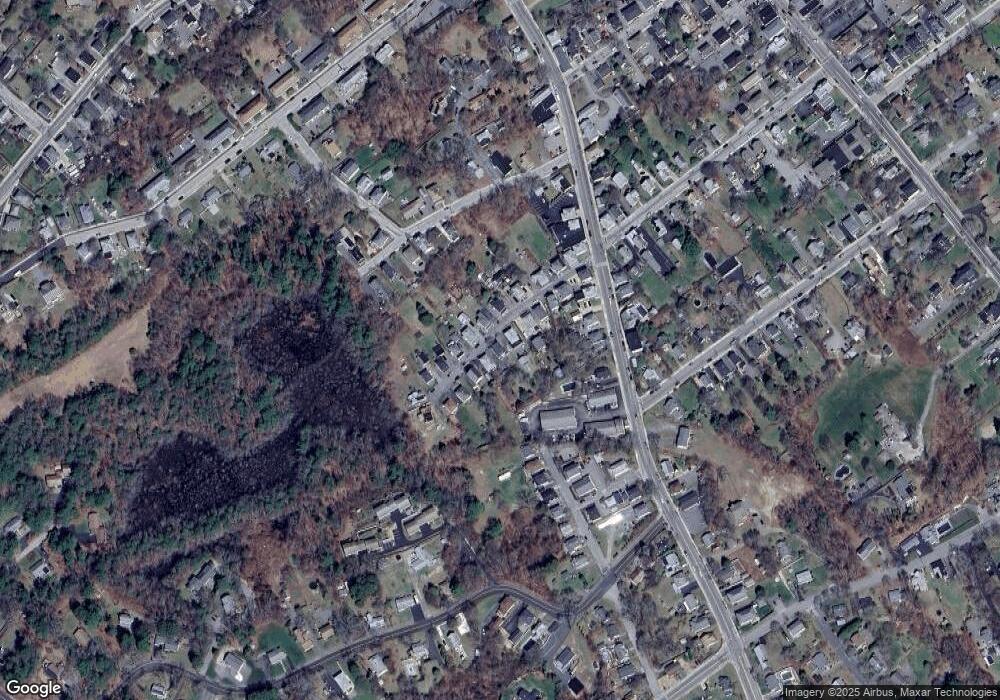
Map
Nearby Homes
- 63 Cherry St
- 291 Court St
- 52 Liberty St Unit L3
- 52 Liberty St Unit C5
- 20-22 Hedge Rd
- 211 Court St
- 60 Robbins Rd Unit 25
- 70 Hedge Rd
- 62 Spooner St
- 5-7 Forest Ave
- 393 Court St Unit 4
- 393 Court St Unit 7
- 393 Court St Unit 5
- 393 Court St Unit 1
- 15 Caswell Ln Unit 6
- 216 Water St Unit B306
- 216 Water St Unit 101B
- 134 Court St Unit 6
- 134 Court St Unit 9
- 134 Court St Unit 12
- 14 Peck Ave
- 18 Peck Ave
- 11 Peck Ave Unit 2
- 11 Peck Ave
- 11 Peck Ave Unit 1
- 13 Peck Ave
- 20 Peck Ave
- 20 Peck Ave Unit 1ST FLOOR
- 20 Peck Ave Unit 3RD FLOOR
- 20 Peck Ave Unit 2
- 15 Peck Ave
- 15 Peck Ave Unit 2
- 12 Peck Ave
- 9 Peck Ave
- 9 Peck Ave Unit 1
- 10 Peck Ave
- 24 Peck Ave
- 24 Peck Ave Unit 2
- 24 Peck Ave Unit 1
- 17 Peck Ave