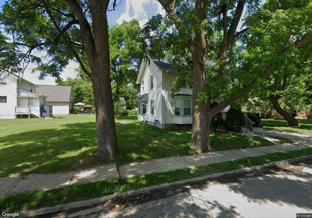
16 Perkins St Unit Bldg-Unit Pontiac, MI 48342
Estimated Value: $112,096 - $185,000
3
Beds
1
Bath
1,348
Sq Ft
$105/Sq Ft
Est. Value
About This Home
This home is located at 16 Perkins St Unit Bldg-Unit, Pontiac, MI 48342 and is currently estimated at $141,524, approximately $104 per square foot. 16 Perkins St Unit Bldg-Unit is a home located in Oakland County with nearby schools including Walt Whitman Elementary School, Pontiac Middle School, and Pontiac High School.
Ownership History
Date
Name
Owned For
Owner Type
Purchase Details
Closed on
Feb 22, 2018
Sold by
Yun John and Estate Of Herbert L Munson
Bought by
Gonzales Elizondo
Current Estimated Value
Purchase Details
Closed on
Dec 5, 2000
Sold by
M K R M M G
Bought by
Munson Herbert L
Purchase Details
Closed on
Oct 16, 2000
Sold by
Sterling Bank Trust
Bought by
Gmkrmm
Purchase Details
Closed on
Sep 12, 1997
Sold by
Mortgage Corporation Ame
Bought by
Sterling Bank Trust
Purchase Details
Closed on
Apr 18, 1997
Sold by
Citizens Bank
Bought by
Stone Mountain Ptr
Purchase Details
Closed on
Aug 6, 1996
Sold by
Todd Michael Lee
Bought by
National Bank Of Royal Oak
Create a Home Valuation Report for This Property
The Home Valuation Report is an in-depth analysis detailing your home's value as well as a comparison with similar homes in the area
Home Values in the Area
Average Home Value in this Area
Purchase History
| Date | Buyer | Sale Price | Title Company |
|---|---|---|---|
| Gonzales Elizondo | $12,000 | None Available | |
| Munson Herbert L | $23,500 | -- | |
| Gmkrmm | $12,000 | -- | |
| Sterling Bank Trust | -- | -- | |
| Mortgage Corporation Amer | $35,800 | -- | |
| Stone Mountain Ptr | $16,700 | -- | |
| National Bank Of Royal Oak | $9,360 | -- |
Source: Public Records
Tax History Compared to Growth
Tax History
| Year | Tax Paid | Tax Assessment Tax Assessment Total Assessment is a certain percentage of the fair market value that is determined by local assessors to be the total taxable value of land and additions on the property. | Land | Improvement |
|---|---|---|---|---|
| 2024 | $1,011 | $31,750 | $0 | $0 |
| 2023 | $964 | $28,450 | $0 | $0 |
| 2022 | $993 | $25,350 | $0 | $0 |
| 2021 | $964 | $23,000 | $0 | $0 |
| 2020 | $876 | $21,150 | $0 | $0 |
| 2019 | $1,130 | $15,670 | $0 | $0 |
| 2018 | $725 | $13,960 | $0 | $0 |
| 2017 | $697 | $13,300 | $0 | $0 |
| 2016 | $724 | $12,930 | $0 | $0 |
| 2015 | -- | $12,060 | $0 | $0 |
| 2014 | -- | $11,800 | $0 | $0 |
| 2011 | -- | $17,960 | $0 | $0 |
Source: Public Records
Map
Nearby Homes
- 0 Woodward Ave
- 306 Whittemore St
- 328 Whittemore St
- 000 Wall St
- 397 S Jessie St
- 240 S Shirley St
- 18 S Shirley St
- 54 Bellevue St
- 59 Bellevue St
- 187 Wall St
- 33 S Tasmania St
- 55 N Roselawn St
- 57 N Roselawn St
- 70 N Roselawn St
- 97 N Roselawn St
- 176 S Francis Ave
- 505 Auburn Ave
- 389 Osmun St
- 511 E Pike St
- 0000 N Ardmore St
- 16 Perkins St
- 169 E Judson St
- 175 E Judson St
- 174 Auburn Ave
- 178 Auburn Ave
- 161 E Judson St
- 194 Auburn Ave
- 17 Perkins St
- 189 E Judson St
- 168 Auburn Ave
- 191 E Judson St
- 178 E Judson St
- 174 E Judson St
- 149 E Judson St
- 188 E Judson St
- 168 E Judson St
- 203 E Judson St
- 179 Auburn Ave
- 192 E Judson St Unit Bldg-Unit
- 192 E Judson St