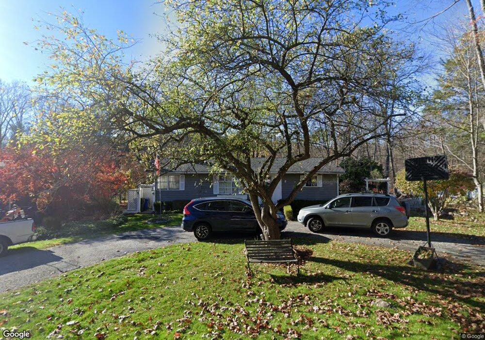
16 Pine Dr New Milford, CT 06776
Estimated Value: $308,000 - $428,000
3
Beds
1
Bath
920
Sq Ft
$405/Sq Ft
Est. Value
About This Home
This home is located at 16 Pine Dr, New Milford, CT 06776 and is currently estimated at $372,146, approximately $404 per square foot. 16 Pine Dr is a home located in Litchfield County with nearby schools including Hill And Plain Elementary School, Sarah Noble Intermediate School, and Schaghticoke Middle School.
Ownership History
Date
Name
Owned For
Owner Type
Purchase Details
Closed on
Feb 1, 2021
Sold by
Filho Raimundo G
Bought by
Filho Raimundo G and Batista Euzice
Current Estimated Value
Purchase Details
Closed on
Nov 7, 1994
Sold by
Schmitt Gerard W and Schmitt Dorothy A
Bought by
Toth Robert M and Toth Michele E
Home Financials for this Owner
Home Financials are based on the most recent Mortgage that was taken out on this home.
Original Mortgage
$116,950
Interest Rate
8.71%
Mortgage Type
Unknown
Create a Home Valuation Report for This Property
The Home Valuation Report is an in-depth analysis detailing your home's value as well as a comparison with similar homes in the area
Home Values in the Area
Average Home Value in this Area
Purchase History
| Date | Buyer | Sale Price | Title Company |
|---|---|---|---|
| Filho Raimundo G | -- | None Available | |
| Toth Robert M | $120,000 | -- |
Source: Public Records
Mortgage History
| Date | Status | Borrower | Loan Amount |
|---|---|---|---|
| Previous Owner | Toth Robert M | $136,000 | |
| Previous Owner | Toth Robert M | $146,000 | |
| Previous Owner | Toth Robert M | $116,950 |
Source: Public Records
Tax History Compared to Growth
Tax History
| Year | Tax Paid | Tax Assessment Tax Assessment Total Assessment is a certain percentage of the fair market value that is determined by local assessors to be the total taxable value of land and additions on the property. | Land | Improvement |
|---|---|---|---|---|
| 2025 | $6,858 | $224,840 | $59,360 | $165,480 |
| 2024 | $4,051 | $136,080 | $45,640 | $90,440 |
| 2023 | $3,944 | $136,080 | $45,640 | $90,440 |
| 2022 | $3,858 | $136,080 | $45,640 | $90,440 |
| 2021 | $3,806 | $136,080 | $45,640 | $90,440 |
| 2020 | $3,515 | $122,570 | $48,230 | $74,340 |
| 2019 | $3,518 | $122,570 | $48,230 | $74,340 |
| 2018 | $3,453 | $122,570 | $48,230 | $74,340 |
| 2017 | $3,340 | $122,570 | $48,230 | $74,340 |
| 2016 | $3,281 | $122,570 | $48,230 | $74,340 |
| 2015 | $3,571 | $133,490 | $48,230 | $85,260 |
| 2014 | $3,511 | $133,490 | $48,230 | $85,260 |
Source: Public Records
Map
Nearby Homes
- 47 Valley View Ln
- 440 Candlewood Lake Rd N
- 80 Perry Dr
- 145 Sherry Ln
- 31 Sullivan Farm
- 27 Willow Springs Unit 27
- 331 Willow Springs Unit 331
- 43 Sullivan Farm
- 2 Sullivan Farm Unit 2
- 98 Sullivan Farm
- 7 Sunset Dr
- 262 Candlewood Lake Rd N
- 60 Erickson Rd
- 22 Candlewood Common
- 254 Candlewood Lake Rd N
- 29 Candlewood Common
- 7 Morey Rd
- 7 Eagle Dr
- 5 Sail Harbour Dr
- 107 Carmen Hill Rd