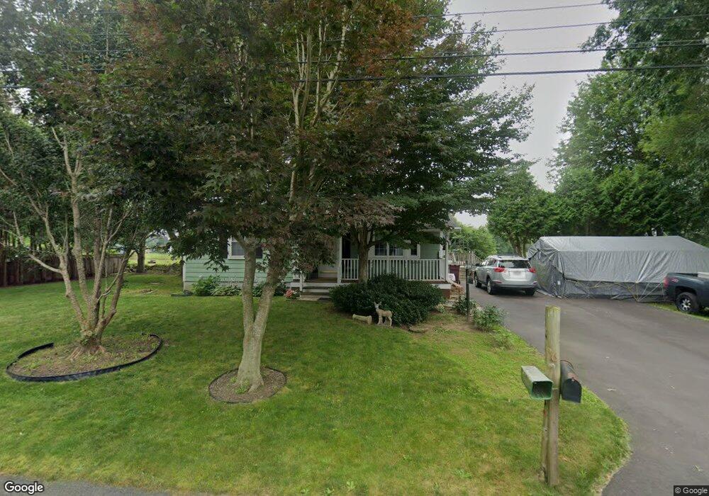
16 Pine St Acushnet, MA 02743
Sherwood Forest NeighborhoodEstimated Value: $428,884 - $552,000
Studio
1
Bath
1,818
Sq Ft
$280/Sq Ft
Est. Value
About This Home
This home is located at 16 Pine St, Acushnet, MA 02743 and is currently estimated at $508,471, approximately $279 per square foot. 16 Pine St is a home located in Bristol County with nearby schools including Acushnet Elementary School, Albert F Ford Middle School, and St Francis Xavier Elementary School.
Ownership History
Date
Name
Owned For
Owner Type
Purchase Details
Closed on
Jan 11, 2012
Sold by
Augustine William F and Augustine Carol A
Bought by
Augustine Lisa A and Cruise Lori A
Current Estimated Value
Purchase Details
Closed on
Nov 30, 2011
Sold by
Augustine Lisa
Bought by
Augustine William F and Augustine Carol A
Purchase Details
Closed on
May 1, 2007
Sold by
Augustine Carol A
Bought by
Augustine Carol A and Augustine Lisa
Create a Home Valuation Report for This Property
The Home Valuation Report is an in-depth analysis detailing your home's value as well as a comparison with similar homes in the area
Home Values in the Area
Average Home Value in this Area
Purchase History
| Date | Buyer | Sale Price | Title Company |
|---|---|---|---|
| Augustine Lisa A | -- | -- | |
| Augustine William F | -- | -- | |
| Augustine Carol A | -- | -- |
Source: Public Records
Mortgage History
| Date | Status | Borrower | Loan Amount |
|---|---|---|---|
| Previous Owner | Augustine Carol A | $150,000 | |
| Previous Owner | Augustine Carol A | $20,000 | |
| Previous Owner | Augustine Carol A | $57,850 |
Source: Public Records
Tax History
| Year | Tax Paid | Tax Assessment Tax Assessment Total Assessment is a certain percentage of the fair market value that is determined by local assessors to be the total taxable value of land and additions on the property. | Land | Improvement |
|---|---|---|---|---|
| 2025 | $37 | $346,700 | $123,500 | $223,200 |
| 2024 | $3,641 | $319,100 | $117,000 | $202,100 |
| 2023 | $3,522 | $293,500 | $106,200 | $187,300 |
| 2022 | $3,510 | $264,500 | $99,700 | $164,800 |
| 2021 | $3,395 | $245,500 | $99,700 | $145,800 |
| 2020 | $3,332 | $239,000 | $93,200 | $145,800 |
| 2019 | $3,191 | $225,000 | $88,800 | $136,200 |
| 2018 | $3,084 | $213,900 | $88,800 | $125,100 |
| 2017 | $2,983 | $206,600 | $88,800 | $117,800 |
| 2016 | $2,903 | $199,800 | $88,800 | $111,000 |
| 2015 | $2,755 | $192,900 | $88,800 | $104,100 |
Source: Public Records
Map
Nearby Homes
- 1015 Forbes St
- 40 Foley Dr
- ES Acushnet Ave
- 941 Bartlett St
- 329 Middle Rd
- 1044 Phillips Rd Unit 20
- 23 Coury Dr
- 7 Hamlin St
- 1044 Victoria St Unit B-29
- 1056 Victoria St Unit A-13
- 0 Church Dutton & Chaffee Unit 73371719
- 1251 Church St Unit 10
- 1261 Church St Unit 70
- 1261 Church St Unit 53
- 1261 Church St Unit 85
- 1261 Church St Unit 46
- 79 Park Dr
- 765 Pine Hill Dr
- 1164 Victoria St
- 37 Maxine St
Your Personal Tour Guide
Ask me questions while you tour the home.