16 Poplar Rd Albrightsville, PA 18210
Estimated Value: $289,767 - $302,000
3
Beds
2
Baths
1,324
Sq Ft
$224/Sq Ft
Est. Value
About This Home
This home is located at 16 Poplar Rd, Albrightsville, PA 18210 and is currently estimated at $296,942, approximately $224 per square foot. 16 Poplar Rd is a home located in Carbon County with nearby schools including Jim Thorpe Area High School.
Ownership History
Date
Name
Owned For
Owner Type
Purchase Details
Closed on
Aug 4, 2022
Sold by
Malandra Stephen A
Bought by
Martin Investor Group Llc
Current Estimated Value
Home Financials for this Owner
Home Financials are based on the most recent Mortgage that was taken out on this home.
Original Mortgage
$172,500
Outstanding Balance
$164,948
Interest Rate
5.7%
Mortgage Type
New Conventional
Estimated Equity
$131,994
Purchase Details
Closed on
May 13, 2006
Sold by
Borell Nancy Ann
Bought by
Malandra Stephen A
Create a Home Valuation Report for This Property
The Home Valuation Report is an in-depth analysis detailing your home's value as well as a comparison with similar homes in the area
Home Values in the Area
Average Home Value in this Area
Purchase History
| Date | Buyer | Sale Price | Title Company |
|---|---|---|---|
| Martin Investor Group Llc | $230,000 | Imagine Abstract | |
| Malandra Stephen A | $13,500 | None Available |
Source: Public Records
Mortgage History
| Date | Status | Borrower | Loan Amount |
|---|---|---|---|
| Open | Martin Investor Group Llc | $172,500 |
Source: Public Records
Tax History Compared to Growth
Tax History
| Year | Tax Paid | Tax Assessment Tax Assessment Total Assessment is a certain percentage of the fair market value that is determined by local assessors to be the total taxable value of land and additions on the property. | Land | Improvement |
|---|---|---|---|---|
| 2025 | $3,728 | $60,600 | $3,900 | $56,700 |
| 2024 | $3,546 | $60,600 | $3,900 | $56,700 |
| 2023 | $3,501 | $60,600 | $3,900 | $56,700 |
| 2022 | $3,501 | $60,600 | $3,900 | $56,700 |
| 2021 | $3,501 | $60,600 | $3,900 | $56,700 |
| 2020 | $3,501 | $60,600 | $3,900 | $56,700 |
| 2019 | $3,380 | $60,600 | $3,900 | $56,700 |
| 2018 | $3,380 | $60,600 | $3,900 | $56,700 |
| 2017 | $3,380 | $60,600 | $3,900 | $56,700 |
| 2016 | -- | $60,600 | $3,900 | $56,700 |
| 2015 | -- | $60,600 | $3,900 | $56,700 |
| 2014 | -- | $60,600 | $3,900 | $56,700 |
Source: Public Records
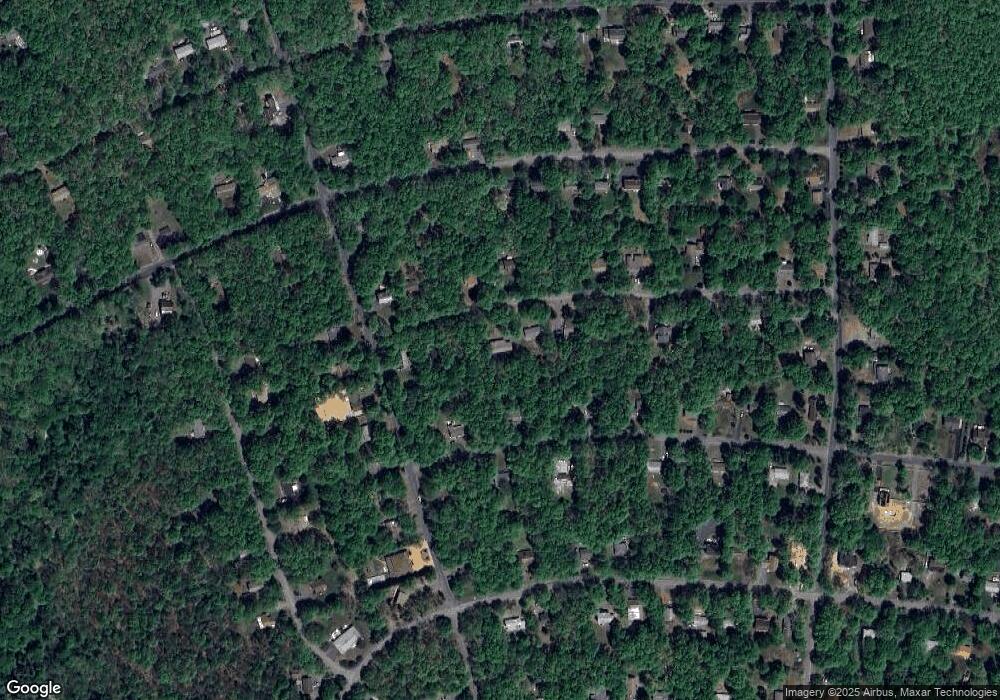
Map
Nearby Homes
- 13 Poplar Dr
- 59 Vista Dr
- 146 Hunter Ln
- 31 Vista Dr
- 703 Fox Hill Rd
- 0 Sassafras Rd Unit 751330
- 0 Sassafras Rd Unit PM-121543
- 407 Skyline Dr
- KII517 Rd
- 0 Hunter Ln Unit PACC2006268
- 0 Hunter Ln Unit 760587
- 171 Sassafras Rd
- 918 K-III Sycamore Cir
- 918 Sycamore Cir
- 105 Wintergreen Ct
- 67 Twin Lake Rd
- 11 Willow Way
- 0 Mansi Dr Unit PM-135688
- 91 Wintergreen Trail
- KIII822 Sycamore Cir