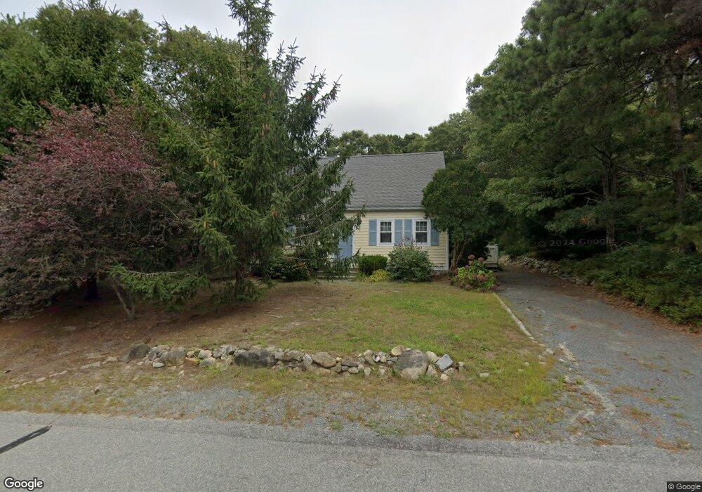
16 Rhine Rd Yarmouth Port, MA 02675
Yarmouth Port NeighborhoodEstimated Value: $487,000 - $562,350
4
Beds
3
Baths
1,152
Sq Ft
$457/Sq Ft
Est. Value
About This Home
This home is located at 16 Rhine Rd, Yarmouth Port, MA 02675 and is currently estimated at $526,588, approximately $457 per square foot. 16 Rhine Rd is a home located in Barnstable County with nearby schools including Dennis-Yarmouth Regional High School and St. Pius X. School.
Ownership History
Date
Name
Owned For
Owner Type
Purchase Details
Closed on
Aug 23, 2000
Sold by
Mccabe Scott A
Bought by
Gray Jane R and Gray Robert E
Current Estimated Value
Home Financials for this Owner
Home Financials are based on the most recent Mortgage that was taken out on this home.
Original Mortgage
$85,000
Interest Rate
8.06%
Mortgage Type
Purchase Money Mortgage
Purchase Details
Closed on
Dec 4, 1990
Sold by
Dacey William E
Bought by
Mccabe Scott A
Home Financials for this Owner
Home Financials are based on the most recent Mortgage that was taken out on this home.
Original Mortgage
$90,100
Interest Rate
10.16%
Mortgage Type
Purchase Money Mortgage
Create a Home Valuation Report for This Property
The Home Valuation Report is an in-depth analysis detailing your home's value as well as a comparison with similar homes in the area
Home Values in the Area
Average Home Value in this Area
Purchase History
| Date | Buyer | Sale Price | Title Company |
|---|---|---|---|
| Gray Jane R | $121,000 | -- | |
| Mccabe Scott A | $94,900 | -- |
Source: Public Records
Mortgage History
| Date | Status | Borrower | Loan Amount |
|---|---|---|---|
| Open | Mccabe Scott A | $168,750 | |
| Closed | Mccabe Scott A | $85,000 | |
| Previous Owner | Mccabe Scott A | $90,100 |
Source: Public Records
Tax History Compared to Growth
Tax History
| Year | Tax Paid | Tax Assessment Tax Assessment Total Assessment is a certain percentage of the fair market value that is determined by local assessors to be the total taxable value of land and additions on the property. | Land | Improvement |
|---|---|---|---|---|
| 2025 | $3,170 | $447,800 | $141,600 | $306,200 |
| 2024 | $3,128 | $423,900 | $149,200 | $274,700 |
| 2023 | $3,113 | $383,800 | $133,000 | $250,800 |
| 2022 | $2,836 | $308,900 | $119,700 | $189,200 |
| 2021 | $2,800 | $292,900 | $119,700 | $173,200 |
| 2020 | $2,719 | $271,900 | $119,600 | $152,300 |
| 2019 | $2,559 | $253,400 | $119,600 | $133,800 |
| 2018 | $2,380 | $231,300 | $97,500 | $133,800 |
| 2017 | $2,318 | $231,300 | $97,500 | $133,800 |
| 2016 | $2,220 | $222,400 | $88,600 | $133,800 |
| 2015 | $2,189 | $218,000 | $88,600 | $129,400 |
Source: Public Records
Map
Nearby Homes
- 16 Warren Rd Unit 16
- 16 Warren Rd
- 32 Deveau Ln
- 40 Deveau Ln
- 8 Rowley Ln
- 209 Union St
- 0 Forsyth Ave
- 68 Seminole Dr
- 14 Many Oaks Cir
- 30 Quartermaster Row
- 33 Sparrow Way
- 72 Quartermaster Row
- 176 Beacon St
- 17 Trowbridge Path
- 882 W Yarmouth Rd
- 50 Cottonwood St
- 76 Captain Chase Rd
- 1 Hamblin Hill
- 105 Webbers Path
- 49 Captain Besse Rd