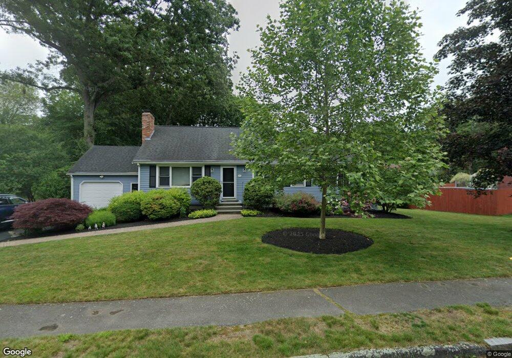
16 Riverside Dr Mansfield, MA 02048
Estimated Value: $634,362 - $777,000
3
Beds
2
Baths
1,346
Sq Ft
$520/Sq Ft
Est. Value
About This Home
This home is located at 16 Riverside Dr, Mansfield, MA 02048 and is currently estimated at $699,841, approximately $519 per square foot. 16 Riverside Dr is a home located in Bristol County with nearby schools including Everett W. Robinson Elementary School, Jordan/Jackson Elementary School, and Harold L. Qualters Middle School.
Ownership History
Date
Name
Owned For
Owner Type
Purchase Details
Closed on
Aug 19, 2002
Sold by
Felske William A and Felske Christine
Bought by
George Amy R
Current Estimated Value
Create a Home Valuation Report for This Property
The Home Valuation Report is an in-depth analysis detailing your home's value as well as a comparison with similar homes in the area
Home Values in the Area
Average Home Value in this Area
Purchase History
| Date | Buyer | Sale Price | Title Company |
|---|---|---|---|
| George Amy R | $345,000 | -- |
Source: Public Records
Mortgage History
| Date | Status | Borrower | Loan Amount |
|---|---|---|---|
| Open | George Amy R | $273,457 | |
| Closed | George Amy R | $282,865 |
Source: Public Records
Tax History
| Year | Tax Paid | Tax Assessment Tax Assessment Total Assessment is a certain percentage of the fair market value that is determined by local assessors to be the total taxable value of land and additions on the property. | Land | Improvement |
|---|---|---|---|---|
| 2025 | $6,945 | $527,300 | $264,400 | $262,900 |
| 2024 | $6,701 | $496,400 | $275,900 | $220,500 |
| 2023 | $6,601 | $468,500 | $275,900 | $192,600 |
| 2022 | $6,408 | $422,400 | $255,500 | $166,900 |
| 2021 | $6,053 | $394,100 | $212,900 | $181,200 |
| 2020 | $5,970 | $388,700 | $212,900 | $175,800 |
| 2019 | $5,513 | $362,200 | $177,400 | $184,800 |
| 2018 | $5,175 | $332,400 | $169,100 | $163,300 |
| 2017 | $5,051 | $336,300 | $164,100 | $172,200 |
| 2016 | $4,981 | $323,200 | $156,300 | $166,900 |
| 2015 | $4,593 | $296,300 | $156,300 | $140,000 |
Source: Public Records
Map
Nearby Homes
- 44 Fairfield Park Unit 44
- 97 East St
- 28 Court St
- 7 Fieldstone Dr
- 1 Deer Path Ln
- 150 Rumford Ave Unit 110
- 266 N Main St Unit 3
- 46 Hope St
- 122 Samoset Ave
- 22 Pleasant St Unit B
- 166 Chauncy St
- 81 Chilson Ave
- 14 Windchime Dr
- 25 Kingman Ave
- 19 Barberry Rd
- 619 N Main St
- 1769 West St
- 16 Holly Rd
- 631 East St Unit L101
- 250 Mansfield Ave Unit 11
- 0 Rear Stearns Ave Unit 71780098
- 12 Riverside Dr
- 8 Basin St
- 20 Riverside Dr
- 12 Basin St
- 11 Riverside Dr
- 8 Riverside Dr
- 15 Riverside Dr
- 233 Union St
- 9 Riverside Dr
- 19 Riverside Dr
- 217 Union St
- Lot - 4 Roy Rd
- LOT 4 Roy Rd
- 00 L-3 Stearns Ave
- 3 Basin St
- 7 Basin St
- 23 Riverside Dr
- 7 Riverside Dr
- 11 Basin St
Your Personal Tour Guide
Ask me questions while you tour the home.