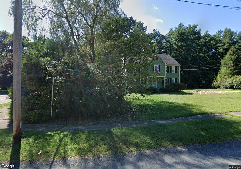
16 Robin Rd Norfolk, MA 02056
Estimated Value: $838,747 - $925,000
4
Beds
3
Baths
2,700
Sq Ft
$331/Sq Ft
Est. Value
About This Home
This home is located at 16 Robin Rd, Norfolk, MA 02056 and is currently estimated at $893,937, approximately $331 per square foot. 16 Robin Rd is a home located in Norfolk County with nearby schools including H. Olive Day School, Freeman-Kennedy School, and Woodside Montessori Academy.
Ownership History
Date
Name
Owned For
Owner Type
Purchase Details
Closed on
Apr 19, 2002
Sold by
Latham Loraine
Bought by
Daigle David A and Daigle Michelle G
Current Estimated Value
Home Financials for this Owner
Home Financials are based on the most recent Mortgage that was taken out on this home.
Original Mortgage
$250,000
Interest Rate
6.85%
Mortgage Type
Purchase Money Mortgage
Create a Home Valuation Report for This Property
The Home Valuation Report is an in-depth analysis detailing your home's value as well as a comparison with similar homes in the area
Home Values in the Area
Average Home Value in this Area
Purchase History
| Date | Buyer | Sale Price | Title Company |
|---|---|---|---|
| Daigle David A | $434,000 | -- | |
| Daigle David A | $434,000 | -- |
Source: Public Records
Mortgage History
| Date | Status | Borrower | Loan Amount |
|---|---|---|---|
| Open | Daigle David A | $275,000 | |
| Closed | Daigle David A | $280,000 | |
| Closed | Daigle David A | $250,000 |
Source: Public Records
Tax History
| Year | Tax Paid | Tax Assessment Tax Assessment Total Assessment is a certain percentage of the fair market value that is determined by local assessors to be the total taxable value of land and additions on the property. | Land | Improvement |
|---|---|---|---|---|
| 2025 | $11,572 | $724,600 | $192,000 | $532,600 |
| 2024 | $10,924 | $701,600 | $194,600 | $507,000 |
| 2023 | $10,397 | $633,600 | $194,600 | $439,000 |
| 2022 | $9,715 | $533,800 | $182,900 | $350,900 |
| 2021 | $9,680 | $538,100 | $188,900 | $349,200 |
| 2020 | $9,467 | $507,900 | $190,000 | $317,900 |
| 2019 | $9,116 | $498,400 | $190,000 | $308,400 |
| 2018 | $8,913 | $478,700 | $198,800 | $279,900 |
| 2017 | $8,788 | $482,300 | $198,800 | $283,500 |
| 2016 | $8,715 | $482,000 | $204,400 | $277,600 |
| 2015 | $8,401 | $475,700 | $194,600 | $281,100 |
| 2014 | $7,779 | $446,300 | $194,600 | $251,700 |
Source: Public Records
Map
Nearby Homes
- 23 Fredrickson Rd
- 8 Ridgefield Rd
- 7 Keeney Pond Rd
- 246 Forest Grove Ave
- 45 Joshua Rd
- 0 W Birch Rd
- 16 Keeney Pond Rd
- 0 Toils End Rd
- 19 Waites Crossing
- 13 Waites Crossing
- 45 Meetinghouse Rd Unit 45
- 292 Main St
- 50 Reed Fulton Ave Unit Lot 61
- 14 Waites Crossing
- 9 Elliot Mills Unit 5
- 8 Elliot Mills Unit 30
- 5 Elliot Mills Unit 3
- 7 Elliot Mills Unit 4
- 10 Elliot Mills Unit 29
- 3 Elliot Mills Unit 2
Your Personal Tour Guide
Ask me questions while you tour the home.