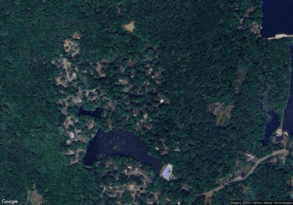
16 Rock Rd West Milford, NJ 07480
Estimated Value: $248,000 - $296,000
--
Bed
--
Bath
991
Sq Ft
$276/Sq Ft
Est. Value
About This Home
This home is located at 16 Rock Rd, West Milford, NJ 07480 and is currently estimated at $273,688, approximately $276 per square foot. 16 Rock Rd is a home located in Passaic County with nearby schools including Macopin Middle School and West Milford High School.
Ownership History
Date
Name
Owned For
Owner Type
Purchase Details
Closed on
Aug 28, 2020
Sold by
Renna Deborah K and Deborah K Renna Revocable Trus
Bought by
Renna Deborah K and Deborah K Renna Revocable Trus
Current Estimated Value
Purchase Details
Closed on
Mar 31, 2020
Sold by
Renna Deborah K and Deborah K Renna Revocable Trus
Bought by
Renna Deborah K and Deborah K Renna Revocable Trus
Purchase Details
Closed on
Dec 4, 2017
Sold by
Renna George J and Renna Deborah K
Bought by
Renna Deborah K and The Deborah K Renna Revocable
Create a Home Valuation Report for This Property
The Home Valuation Report is an in-depth analysis detailing your home's value as well as a comparison with similar homes in the area
Home Values in the Area
Average Home Value in this Area
Purchase History
| Date | Buyer | Sale Price | Title Company |
|---|---|---|---|
| Renna Deborah K | -- | None Available | |
| Renna Deborah K | -- | None Available | |
| Renna Deborah K | -- | None Available | |
| Renna Deborah K | -- | None Available | |
| Renna Deborah K | -- | None Available | |
| Renna Deborah K | -- | None Available |
Source: Public Records
Tax History Compared to Growth
Tax History
| Year | Tax Paid | Tax Assessment Tax Assessment Total Assessment is a certain percentage of the fair market value that is determined by local assessors to be the total taxable value of land and additions on the property. | Land | Improvement |
|---|---|---|---|---|
| 2025 | $5,376 | $132,600 | $71,600 | $61,000 |
| 2024 | $5,403 | $132,600 | $71,600 | $61,000 |
| 2022 | $5,129 | $132,600 | $71,600 | $61,000 |
| 2021 | $5,019 | $132,600 | $71,600 | $61,000 |
| 2020 | $4,966 | $132,600 | $71,600 | $61,000 |
| 2019 | $4,900 | $132,600 | $71,600 | $61,000 |
| 2018 | $4,888 | $132,600 | $71,600 | $61,000 |
| 2017 | $4,910 | $132,600 | $71,600 | $61,000 |
| 2016 | $4,668 | $132,600 | $71,600 | $61,000 |
| 2015 | $4,611 | $132,600 | $71,600 | $61,000 |
| 2014 | $4,493 | $132,600 | $71,600 | $61,000 |
Source: Public Records
Map
Nearby Homes
- 108 Poplar Grove Terrace
- 26 Rock Rd
- 8 Rock Rd
- 17 Pheasant Ln
- 15 Deer Path
- 161 Otterhole Rd
- 177 Otterhole Rd
- 20 Torne Mountain Rd
- 24 E Park Dr
- 00 Ferndale Rd
- 53 E Park Dr
- 347 Otterhole Rd
- 8 Wood St
- 870 MacOpin Rd
- 577 MacOpin Rd
- 449 Otterhole Rd
- 37 Hancock Dr
- 1 W Shore Rd
- 0 Post Brook Rd Unit 25008921
- 0 Post Brook Rd Unit 3952366
- 18 Rock Rd
- 107 Poplar Grove Terrace
- 9 Rock Rd
- 6 Rock Rd
- 19 Rock Rd
- 7 Rock Rd
- 7 Rock Rd
- 121 Poplar Grove Terrace
- 12 Yacare Path
- 10 Clubhouse Ave
- 11 Yacare Path
- 106 Poplar Grove Terrace
- 104 Poplar Grove Terrace
- 110 Poplar Grove Terrace
- 5 Rock Rd
- 0 Mayfair Rd
- 8 Yacare Path
- 6 Yacare Path
- 1 Rock Rd
- 9 Clubhouse Ave
