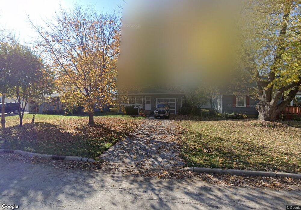
16 S Adams St North Aurora, IL 60542
Estimated Value: $261,000 - $277,000
3
Beds
1
Bath
968
Sq Ft
$277/Sq Ft
Est. Value
About This Home
This home is located at 16 S Adams St, North Aurora, IL 60542 and is currently estimated at $268,098, approximately $276 per square foot. 16 S Adams St is a home located in Kane County with nearby schools including Goodwin Elementary School, Jewel Middle School, and West Aurora High School.
Ownership History
Date
Name
Owned For
Owner Type
Purchase Details
Closed on
Oct 17, 2008
Sold by
Burkart Ryan L
Bought by
Mitchell Robert M
Current Estimated Value
Purchase Details
Closed on
Apr 27, 2007
Sold by
Rodriguez Esther
Bought by
Burkart Ryan and Mitchell Robert
Home Financials for this Owner
Home Financials are based on the most recent Mortgage that was taken out on this home.
Original Mortgage
$175,000
Interest Rate
6.21%
Mortgage Type
Purchase Money Mortgage
Purchase Details
Closed on
May 27, 2004
Sold by
Gaffino Mark J and Gaffino Susan E
Bought by
Rodriguez Esther
Home Financials for this Owner
Home Financials are based on the most recent Mortgage that was taken out on this home.
Original Mortgage
$132,000
Interest Rate
6.7%
Mortgage Type
Purchase Money Mortgage
Create a Home Valuation Report for This Property
The Home Valuation Report is an in-depth analysis detailing your home's value as well as a comparison with similar homes in the area
Home Values in the Area
Average Home Value in this Area
Purchase History
| Date | Buyer | Sale Price | Title Company |
|---|---|---|---|
| Mitchell Robert M | -- | None Available | |
| Burkart Ryan | $175,000 | Plm Title Company | |
| Rodriguez Esther | $165,000 | -- |
Source: Public Records
Mortgage History
| Date | Status | Borrower | Loan Amount |
|---|---|---|---|
| Previous Owner | Burkart Ryan | $175,000 | |
| Previous Owner | Rodriguez Esther | $132,000 | |
| Closed | Rodriguez Esther | $33,000 |
Source: Public Records
Tax History Compared to Growth
Tax History
| Year | Tax Paid | Tax Assessment Tax Assessment Total Assessment is a certain percentage of the fair market value that is determined by local assessors to be the total taxable value of land and additions on the property. | Land | Improvement |
|---|---|---|---|---|
| 2024 | $4,648 | $69,067 | $13,260 | $55,807 |
| 2023 | $4,427 | $61,711 | $11,848 | $49,863 |
| 2022 | $4,215 | $56,305 | $10,810 | $45,495 |
| 2021 | $4,009 | $52,420 | $10,064 | $42,356 |
| 2020 | $4,257 | $54,387 | $9,348 | $45,039 |
| 2019 | $4,107 | $50,391 | $8,661 | $41,730 |
| 2018 | $4,111 | $48,952 | $8,011 | $40,941 |
| 2017 | $3,965 | $46,272 | $7,381 | $38,891 |
| 2016 | $3,555 | $41,013 | $6,327 | $34,686 |
| 2015 | -- | $35,987 | $5,441 | $30,546 |
| 2014 | -- | $33,694 | $5,233 | $28,461 |
| 2013 | -- | $33,213 | $5,158 | $28,055 |
Source: Public Records
Map
Nearby Homes
- 16 S Grace St
- 12 N Lincolnway
- 306 Harmony Dr
- 307 John St
- 925 Darwin St
- 320 Harmony Dr
- 24 S Grant St
- 148 N Lincolnway
- 122 E State St
- 218 Timber Oaks Dr
- 202 Larchwood Ln
- 6 S Sycamore Ln
- 503 Redwood Ct
- 302 Pin Oak Dr
- 203 Lilac Ln
- 344 Hilltop Dr
- 202 Linn Ct Unit C
- 341 Pheasant Hill Dr
- 114 Briar Ln Unit 2
- 427 Prairie Ridge Ln