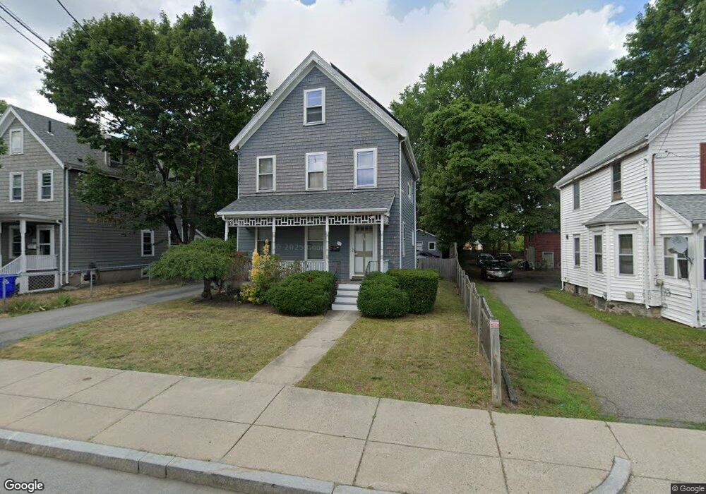
16 Safford St Hyde Park, MA 02136
Hyde Park NeighborhoodEstimated Value: $709,000 - $830,631
4
Beds
3
Baths
1,925
Sq Ft
$403/Sq Ft
Est. Value
About This Home
This home is located at 16 Safford St, Hyde Park, MA 02136 and is currently estimated at $776,408, approximately $403 per square foot. 16 Safford St is a home located in Suffolk County with nearby schools including Boston Preparatory Charter Public School and Sacred Heart STEM School.
Ownership History
Date
Name
Owned For
Owner Type
Purchase Details
Closed on
Nov 8, 2010
Sold by
Daley Danzie and Daley Marcia
Bought by
Daley Marcia
Current Estimated Value
Purchase Details
Closed on
Nov 30, 2005
Sold by
Koenig Lynne M and Murphy Lynne M
Bought by
Daley Bernice and Daley Danzie
Home Financials for this Owner
Home Financials are based on the most recent Mortgage that was taken out on this home.
Original Mortgage
$388,000
Interest Rate
6.14%
Mortgage Type
Purchase Money Mortgage
Purchase Details
Closed on
Nov 14, 2000
Sold by
Koenig Noreen
Bought by
Murphy Lynne and Koenig Marc D
Create a Home Valuation Report for This Property
The Home Valuation Report is an in-depth analysis detailing your home's value as well as a comparison with similar homes in the area
Home Values in the Area
Average Home Value in this Area
Purchase History
| Date | Buyer | Sale Price | Title Company |
|---|---|---|---|
| Daley Marcia | -- | -- | |
| Daley Bernice | $448,000 | -- | |
| Murphy Lynne | $225,000 | -- |
Source: Public Records
Mortgage History
| Date | Status | Borrower | Loan Amount |
|---|---|---|---|
| Previous Owner | Daley Bernice | $388,000 | |
| Previous Owner | Murphy Lynne | $185,000 | |
| Previous Owner | Murphy Lynne | $30,000 | |
| Previous Owner | Murphy Lynne | $185,000 |
Source: Public Records
Tax History Compared to Growth
Tax History
| Year | Tax Paid | Tax Assessment Tax Assessment Total Assessment is a certain percentage of the fair market value that is determined by local assessors to be the total taxable value of land and additions on the property. | Land | Improvement |
|---|---|---|---|---|
| 2025 | $8,625 | $744,800 | $259,400 | $485,400 |
| 2024 | $7,946 | $729,000 | $238,900 | $490,100 |
| 2023 | $7,315 | $681,100 | $223,200 | $457,900 |
| 2022 | $6,737 | $619,200 | $202,900 | $416,300 |
| 2021 | $6,057 | $567,700 | $191,400 | $376,300 |
| 2020 | $5,495 | $520,400 | $168,300 | $352,100 |
| 2019 | $5,164 | $489,900 | $165,700 | $324,200 |
| 2018 | $5,034 | $480,300 | $165,700 | $314,600 |
| 2017 | $4,799 | $453,200 | $165,700 | $287,500 |
| 2016 | $4,985 | $453,200 | $165,700 | $287,500 |
| 2015 | $4,875 | $402,600 | $129,200 | $273,400 |
| 2014 | $4,823 | $383,400 | $129,200 | $254,200 |
Source: Public Records
Map
Nearby Homes
- 27 Greenwood Ave
- 24 Melba Way
- 50 Cromwell Rd
- 514 Metropolitan Ave Unit 1
- 895 Hyde Park Ave Unit 2
- 0 Tina Ave
- 107 West St
- 147 West St
- 46 Oakwood St
- 175 Clare Ave Unit B2
- 175 Clare Ave Unit B7
- 175 Clare Ave Unit B4
- 15 Beechmont Terrace
- 220 West St
- 74 Davison St
- 71 Davison St
- 7 Winborough St
- 307 West St
- 87 Clare Ave
- 30 Macdonald St
- 12 Safford St
- 18 Safford St
- 20 Safford St
- 10 Safford St
- 24 Safford St Unit 26
- 24 Safford St Unit 1
- 596 Metropolitan Ave
- 592 Metropolitan Ave
- 592 Metropolitan Ave Unit 1
- 600 Metropolitan Ave
- 339 Huntington Ave
- 343 Huntington Ave
- 21-23 Safford St
- 23 Safford St Unit 1
- 23 Safford St
- 17 Safford St Unit 19
- 347 Huntington Ave Unit 349
- 57 Thatcher St
- 21 Safford St Unit 23
- 351 Huntington Ave Unit 353