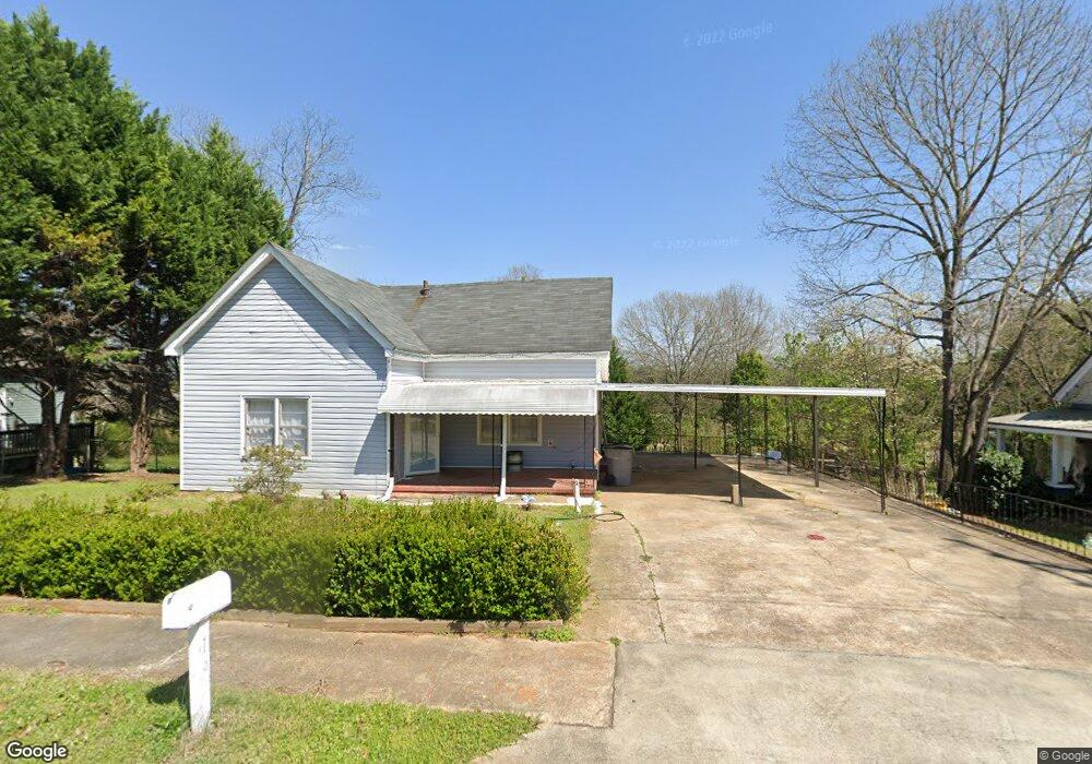
16 Sanford Ave Lagrange, GA 30241
Estimated Value: $84,000 - $127,386
2
Beds
1
Bath
1,008
Sq Ft
$106/Sq Ft
Est. Value
About This Home
This home is located at 16 Sanford Ave, Lagrange, GA 30241 and is currently estimated at $106,597, approximately $105 per square foot. 16 Sanford Ave is a home located in Troup County with nearby schools including Franklin Forest Elementary School, Hollis Hand Elementary School, and Ethel W. Kight Elementary School.
Ownership History
Date
Name
Owned For
Owner Type
Purchase Details
Closed on
Nov 19, 2024
Sold by
Donis Juan
Bought by
Solares Gonzalez Flor Adelma
Current Estimated Value
Purchase Details
Closed on
Sep 20, 2011
Sold by
Federal Home Loan
Bought by
Donis Juan
Purchase Details
Closed on
Jun 4, 2011
Sold by
Cenlar Fsb
Bought by
Federal Home Loan Mortgage Corporation
Purchase Details
Closed on
Jul 27, 2005
Sold by
Stanfield Harriet Sheron S
Bought by
Gotch John S
Purchase Details
Closed on
May 3, 1991
Sold by
Frankie Mae Sims
Bought by
Harriet Stanfield Etal
Purchase Details
Closed on
May 2, 1991
Sold by
Jhonnie Sims
Bought by
Frankie Mae Sims
Purchase Details
Closed on
Oct 1, 1959
Sold by
Dunson Mills
Bought by
Jhonnie Sims
Create a Home Valuation Report for This Property
The Home Valuation Report is an in-depth analysis detailing your home's value as well as a comparison with similar homes in the area
Purchase History
| Date | Buyer | Sale Price | Title Company |
|---|---|---|---|
| Solares Gonzalez Flor Adelma | -- | -- | |
| Donis Juan | $27,000 | -- | |
| Federal Home Loan Mortgage Corporation | $38,870 | -- | |
| Cenlar Fsb | $38,870 | -- | |
| Gotch John S | $47,900 | -- | |
| Harriet Stanfield Etal | -- | -- | |
| Frankie Mae Sims | -- | -- | |
| Jhonnie Sims | -- | -- |
Source: Public Records
Tax History
| Year | Tax Paid | Tax Assessment Tax Assessment Total Assessment is a certain percentage of the fair market value that is determined by local assessors to be the total taxable value of land and additions on the property. | Land | Improvement |
|---|---|---|---|---|
| 2025 | $850 | $31,160 | $4,840 | $26,320 |
| 2024 | $796 | $29,200 | $4,840 | $24,360 |
| 2023 | $684 | $25,080 | $4,840 | $20,240 |
| 2022 | $673 | $24,120 | $4,840 | $19,280 |
| 2021 | $549 | $18,200 | $2,720 | $15,480 |
| 2020 | $549 | $18,200 | $2,720 | $15,480 |
| 2019 | $501 | $16,600 | $2,720 | $13,880 |
| 2018 | $489 | $16,200 | $2,720 | $13,480 |
| 2017 | $489 | $16,200 | $2,720 | $13,480 |
| 2016 | $477 | $15,816 | $2,720 | $13,096 |
| 2015 | $479 | $15,849 | $2,753 | $13,096 |
| 2014 | $459 | $15,160 | $2,753 | $12,407 |
| 2013 | -- | $15,825 | $2,753 | $13,072 |
Source: Public Records
Map
Nearby Homes
- 5 Gulfstream Dr
- 3 Gulfstream Dr
- 146 Shenandoah Ln
- 147 Shenandoah Ln
- 0 N Barnard Ave
- 143 Shenandoah Ln
- 142 Shenandoah Ln
- 141 Shenandoah Ln
- 304 Bridgette Blvd
- 139 Shenandoah Ln
- 412 Sweetwood Ct Unit A36
- 212 Cleveland Dr
- 204 Cleveland Dr
- 136 Shenandoah Ln
- 107 N Barnard Ave
- 101 Sarah Ln
- 109 Sarah Ln
- 115 Clara Jean Ct
- 110 Lenox Cir
- 5 Curran Ave
Your Personal Tour Guide
Ask me questions while you tour the home.