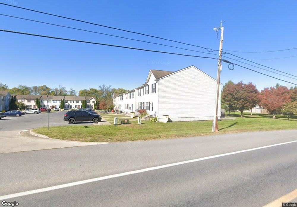
16 Sanford Dr Bunker Hill, WV 25413
Estimated Value: $231,000 - $253,000
3
Beds
4
Baths
1,600
Sq Ft
$152/Sq Ft
Est. Value
About This Home
This home is located at 16 Sanford Dr, Bunker Hill, WV 25413 and is currently estimated at $242,936, approximately $151 per square foot. 16 Sanford Dr is a home located in Berkeley County with nearby schools including Bunker Hill Elementary School, Mill Creek Intermediate School, and Musselman Middle School.
Ownership History
Date
Name
Owned For
Owner Type
Purchase Details
Closed on
Jan 12, 2011
Sold by
Federal National Mortgage Association
Bought by
Alter Robert A and Alter Erin B
Current Estimated Value
Home Financials for this Owner
Home Financials are based on the most recent Mortgage that was taken out on this home.
Original Mortgage
$68,940
Outstanding Balance
$46,766
Interest Rate
4.83%
Mortgage Type
Credit Line Revolving
Estimated Equity
$196,170
Purchase Details
Closed on
Sep 17, 2010
Sold by
Kesner Connie
Bought by
Onewest Bank Fsb
Create a Home Valuation Report for This Property
The Home Valuation Report is an in-depth analysis detailing your home's value as well as a comparison with similar homes in the area
Home Values in the Area
Average Home Value in this Area
Purchase History
| Date | Buyer | Sale Price | Title Company |
|---|---|---|---|
| Alter Robert A | $85,920 | -- | |
| Onewest Bank Fsb | $185,569 | -- |
Source: Public Records
Mortgage History
| Date | Status | Borrower | Loan Amount |
|---|---|---|---|
| Open | Alter Robert A | $68,940 |
Source: Public Records
Tax History Compared to Growth
Tax History
| Year | Tax Paid | Tax Assessment Tax Assessment Total Assessment is a certain percentage of the fair market value that is determined by local assessors to be the total taxable value of land and additions on the property. | Land | Improvement |
|---|---|---|---|---|
| 2025 | $2,425 | $99,720 | $22,380 | $77,340 |
| 2024 | $2,399 | $97,740 | $19,380 | $78,360 |
| 2023 | $2,275 | $90,000 | $17,400 | $72,600 |
| 2022 | $1,976 | $84,900 | $17,400 | $67,500 |
| 2021 | $1,839 | $78,420 | $15,000 | $63,420 |
| 2020 | $1,774 | $75,540 | $15,000 | $60,540 |
| 2019 | $1,729 | $73,140 | $15,000 | $58,140 |
| 2018 | $714 | $60,300 | $13,200 | $47,100 |
| 2017 | $672 | $56,400 | $10,200 | $46,200 |
| 2016 | $666 | $55,380 | $10,200 | $45,180 |
| 2015 | $691 | $55,980 | $10,200 | $45,780 |
| 2014 | $804 | $64,920 | $10,200 | $54,720 |
Source: Public Records
Map
Nearby Homes
- 9872 Winchester Ave
- 26 Lieutenant Ct
- 132 Calvert Cir
- 36 Runnymeade Rd
- 43 Scarboro Dr
- 73 Healey Ct
- 30 Kirby Ct
- 60 Grey Spring Ave
- 9434 Winchester Ave
- 139 Pinnacle Dr
- 725 Henshaw Rd
- 590 Wendover Dr
- 444 Fieldstone Dr
- 195 Isaac Dr
- 1250 Mish Rd
- 284 Wigeon Ct
- 379 Eurasian Dr
- 224 Isaac Dr
- 107 Loblolly Dr
- 380 Wendover Dr
- 20 Sanford Dr
- 24 Sanford Dr
- 16 Sanford Dr
- 28 Sanford Dr
- 12 Sanford Dr
- 32 Sanford Dr
- 8 Sanford Dr
- TBD Sullyruth Ct Unit LITCHFIELDNOBASEMENT
- TBD Sullyruth Ct
- 38 Currituck Ct
- 42 Currituck Ct
- 46 Currituck Ct
- 29 Sanford Dr
- 13 Sanford Dr
- 25 Sanford Dr
- 33 Sanford Dr
- 50 Currituck Ct
- 9 Sanford Dr
- 37 Sanford Dr
- HOMESITE 161 Melsonby Dr