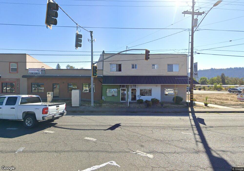
16 SE Main St Winston, OR 97496
Estimated Value: $475,749 - $815,000
--
Bed
--
Bath
3,800
Sq Ft
$170/Sq Ft
Est. Value
About This Home
This home is located at 16 SE Main St, Winston, OR 97496 and is currently estimated at $645,375, approximately $169 per square foot. 16 SE Main St is a home located in Douglas County with nearby schools including Douglas High School.
Ownership History
Date
Name
Owned For
Owner Type
Purchase Details
Closed on
Sep 6, 2005
Sold by
Jcole Ex Llc
Bought by
Cole Jeff A
Current Estimated Value
Home Financials for this Owner
Home Financials are based on the most recent Mortgage that was taken out on this home.
Original Mortgage
$198,750
Interest Rate
5.51%
Mortgage Type
Unknown
Purchase Details
Closed on
Jul 18, 2005
Sold by
Borkovec Danny I and Borkovec Sally M
Bought by
Jcole Ex Llc
Home Financials for this Owner
Home Financials are based on the most recent Mortgage that was taken out on this home.
Original Mortgage
$198,750
Interest Rate
5.51%
Mortgage Type
Unknown
Create a Home Valuation Report for This Property
The Home Valuation Report is an in-depth analysis detailing your home's value as well as a comparison with similar homes in the area
Home Values in the Area
Average Home Value in this Area
Purchase History
| Date | Buyer | Sale Price | Title Company |
|---|---|---|---|
| Cole Jeff A | -- | Amerititle | |
| Jcole Ex Llc | $265,000 | Cascade Title Co |
Source: Public Records
Mortgage History
| Date | Status | Borrower | Loan Amount |
|---|---|---|---|
| Previous Owner | Jcole Ex Llc | $198,750 |
Source: Public Records
Tax History Compared to Growth
Tax History
| Year | Tax Paid | Tax Assessment Tax Assessment Total Assessment is a certain percentage of the fair market value that is determined by local assessors to be the total taxable value of land and additions on the property. | Land | Improvement |
|---|---|---|---|---|
| 2025 | $2,399 | $144,377 | -- | -- |
| 2024 | $2,332 | $140,172 | -- | -- |
| 2023 | $2,266 | $136,090 | $0 | $0 |
| 2022 | $2,198 | $132,127 | $0 | $0 |
| 2021 | $2,139 | $128,279 | $0 | $0 |
| 2020 | $2,013 | $124,543 | $0 | $0 |
| 2019 | $2,026 | $124,543 | $0 | $0 |
| 2018 | $2,029 | $0 | $0 | $0 |
| 2017 | $1,934 | $118,316 | $0 | $0 |
| 2016 | $2,041 | $124,543 | $0 | $0 |
| 2015 | $2,051 | $124,543 | $0 | $0 |
| 2014 | $2,066 | $124,543 | $0 | $0 |
| 2013 | -- | $122,553 | $0 | $0 |
Source: Public Records
Map
Nearby Homes
- 68 NW Rose St
- 0 SE Gregory Dr
- 173 NE Main St
- 90 SE Darrell Ave
- 110 SE Darrell Ave
- 120 SE Edwards Ave
- 151 Sherry St
- 301 NW Midway St
- 271 SE Robinson St
- 250 NE Jorgen St
- 260 SW Ford Ave
- 80 NW Lost Ln
- 310 NW Lost Ln
- 308 NW Civil Bend Ave
- 231 NE Darrell Ave
- 10 SE Kegler Ave
- 0 SW Main St
- 380 Sunnyside Dr
- 350 SE Park St
- 291 SE Shigley St
- 16 SE Main St Unit 2
- 20 SE Main St
- 9 N Main St
- 0 Oregon 42
- 38 SE Main St
- 60 SE Main St
- 43 NE Main St
- 0 Old Highway 99 S
- 88 SE Main St
- 53 NW Douglas Blvd
- 53 NE Main St
- 91 SE Gregory Dr
- 81 SE Gregory Dr
- 71 SE Gregory Dr
- 27 NE Baker St
- 41 NW Rose St
- 69 NW Rose St
- 61 NE Gregory Dr
- 81 NW Rose St
- 16 Rose Ave Unit 1