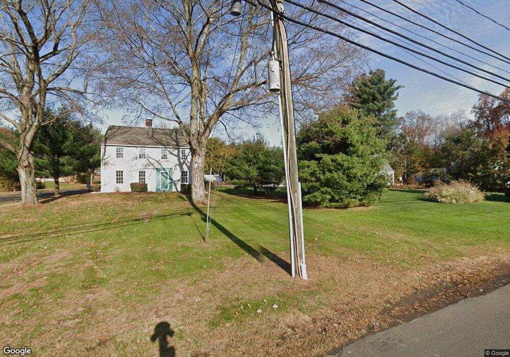
16 Shares Ln South Windsor, CT 06074
Estimated Value: $438,000 - $464,000
4
Beds
2
Baths
1,880
Sq Ft
$241/Sq Ft
Est. Value
About This Home
This home is located at 16 Shares Ln, South Windsor, CT 06074 and is currently estimated at $453,662, approximately $241 per square foot. 16 Shares Ln is a home located in Hartford County with nearby schools including Timothy Edwards School, South Windsor High School, and St Bridget School.
Ownership History
Date
Name
Owned For
Owner Type
Purchase Details
Closed on
Aug 24, 2009
Sold by
Frederick Catherine
Bought by
Miller Kristine
Current Estimated Value
Home Financials for this Owner
Home Financials are based on the most recent Mortgage that was taken out on this home.
Original Mortgage
$215,500
Outstanding Balance
$140,364
Interest Rate
5.19%
Estimated Equity
$313,298
Purchase Details
Closed on
Oct 2, 2007
Sold by
Sanady Stephen
Bought by
Frederick Catherine
Purchase Details
Closed on
Nov 10, 2005
Sold by
Bland David
Bought by
Frederick Catherine and Sanady Stephen
Home Financials for this Owner
Home Financials are based on the most recent Mortgage that was taken out on this home.
Original Mortgage
$200,000
Interest Rate
5.93%
Purchase Details
Closed on
Dec 18, 2003
Sold by
Kania Frank
Bought by
Bland David
Create a Home Valuation Report for This Property
The Home Valuation Report is an in-depth analysis detailing your home's value as well as a comparison with similar homes in the area
Home Values in the Area
Average Home Value in this Area
Purchase History
| Date | Buyer | Sale Price | Title Company |
|---|---|---|---|
| Miller Kristine | $239,000 | -- | |
| Frederick Catherine | $7,500 | -- | |
| Frederick Catherine | $250,000 | -- | |
| Bland David | $42,000 | -- |
Source: Public Records
Mortgage History
| Date | Status | Borrower | Loan Amount |
|---|---|---|---|
| Open | Bland David | $215,500 | |
| Previous Owner | Bland David | $200,000 | |
| Previous Owner | Bland David | $123,000 |
Source: Public Records
Tax History Compared to Growth
Tax History
| Year | Tax Paid | Tax Assessment Tax Assessment Total Assessment is a certain percentage of the fair market value that is determined by local assessors to be the total taxable value of land and additions on the property. | Land | Improvement |
|---|---|---|---|---|
| 2024 | $8,446 | $245,100 | $97,700 | $147,400 |
| 2023 | $8,123 | $245,100 | $97,700 | $147,400 |
| 2022 | $7,390 | $190,600 | $97,700 | $92,900 |
| 2021 | $7,216 | $190,600 | $97,700 | $92,900 |
| 2020 | $7,220 | $190,600 | $97,700 | $92,900 |
| 2019 | $7,338 | $190,600 | $97,700 | $92,900 |
| 2018 | $7,180 | $190,600 | $97,700 | $92,900 |
| 2017 | $7,231 | $189,900 | $108,500 | $81,400 |
| 2016 | $7,091 | $189,900 | $108,500 | $81,400 |
| 2015 | $6,877 | $188,200 | $108,500 | $79,700 |
| 2014 | $6,683 | $188,200 | $108,500 | $79,700 |
Source: Public Records
Map
Nearby Homes
- 33 Imperial Dr
- 120 Avery St
- 455 Oakland Rd
- 11 Carman Rd
- 65 Donahue Ln
- 486 Tolland Turnpike
- 34 Benedict Dr
- 400 Avery St
- 372 Oakland St
- 25 Chatsworth Ct
- 23 Chatsworth Ct
- 21 Chatsworth Ct
- 10 Mohegan Trail
- 25 Summit Dr
- 4 Alpine Dr
- 16 Kelly Rd
- 74 North St
- 193 Oakland St Unit A
- 122 Greenwood Dr
- 165 Oakland St