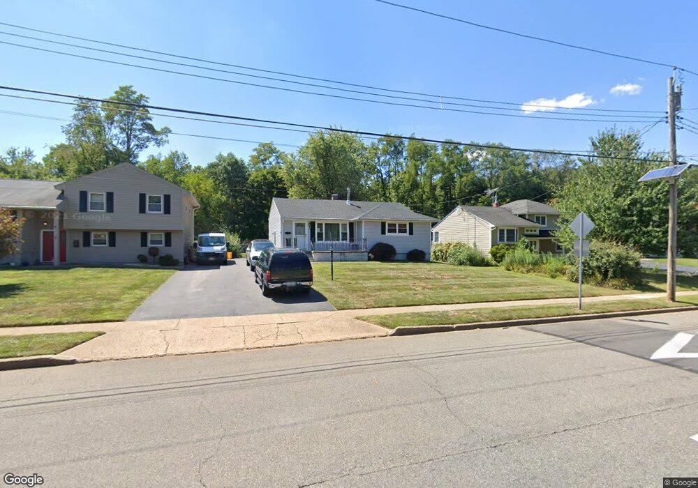
16 Sherbrooke Rd Ewing, NJ 08638
Prospect NeighborhoodEstimated Value: $304,535 - $433,000
--
Bed
--
Bath
1,166
Sq Ft
$303/Sq Ft
Est. Value
About This Home
This home is located at 16 Sherbrooke Rd, Ewing, NJ 08638 and is currently estimated at $352,884, approximately $302 per square foot. 16 Sherbrooke Rd is a home located in Mercer County with nearby schools including Ewing High School, Paul Robeson Charter School For The Humanities, and Trenton Stem-To-Civics Charter School.
Ownership History
Date
Name
Owned For
Owner Type
Purchase Details
Closed on
Mar 20, 2023
Current Estimated Value
Purchase Details
Closed on
May 29, 1998
Sold by
Scheers Peter
Bought by
Baker Craig and Baker Cathy
Home Financials for this Owner
Home Financials are based on the most recent Mortgage that was taken out on this home.
Original Mortgage
$105,450
Interest Rate
7.04%
Purchase Details
Closed on
Jun 28, 1996
Sold by
Pearce Cynthia
Bought by
Scheers Peter and Scheers Amy
Home Financials for this Owner
Home Financials are based on the most recent Mortgage that was taken out on this home.
Original Mortgage
$113,000
Interest Rate
7.98%
Mortgage Type
FHA
Purchase Details
Closed on
May 15, 1992
Sold by
Wallace William Thomas and Wallace Cynthia L
Bought by
Wallace Cynthia L
Purchase Details
Closed on
Sep 26, 1989
Sold by
Wallace Eugene
Bought by
Wallace William T and Wallace Cynthia
Create a Home Valuation Report for This Property
The Home Valuation Report is an in-depth analysis detailing your home's value as well as a comparison with similar homes in the area
Home Values in the Area
Average Home Value in this Area
Purchase History
| Date | Buyer | Sale Price | Title Company |
|---|---|---|---|
| -- | -- | -- | |
| Baker Craig | $111,000 | -- | |
| Scheers Peter | $113,888 | -- | |
| Wallace Cynthia L | -- | -- | |
| Wallace William T | -- | -- |
Source: Public Records
Mortgage History
| Date | Status | Borrower | Loan Amount |
|---|---|---|---|
| Previous Owner | Baker Craig | $105,450 | |
| Previous Owner | Scheers Peter | $113,000 |
Source: Public Records
Tax History Compared to Growth
Tax History
| Year | Tax Paid | Tax Assessment Tax Assessment Total Assessment is a certain percentage of the fair market value that is determined by local assessors to be the total taxable value of land and additions on the property. | Land | Improvement |
|---|---|---|---|---|
| 2025 | $7,162 | $182,100 | $58,000 | $124,100 |
| 2024 | $6,732 | $182,100 | $58,000 | $124,100 |
| 2023 | $6,732 | $182,100 | $58,000 | $124,100 |
| 2022 | $6,550 | $182,100 | $58,000 | $124,100 |
| 2021 | $6,390 | $182,100 | $58,000 | $124,100 |
| 2020 | $6,299 | $182,100 | $58,000 | $124,100 |
| 2019 | $6,135 | $182,100 | $58,000 | $124,100 |
| 2018 | $5,403 | $102,300 | $44,000 | $58,300 |
| 2017 | $5,529 | $102,300 | $44,000 | $58,300 |
| 2016 | $5,455 | $102,300 | $44,000 | $58,300 |
| 2015 | $5,382 | $102,300 | $44,000 | $58,300 |
| 2014 | $5,368 | $102,300 | $44,000 | $58,300 |
Source: Public Records
Map
Nearby Homes
- 33 Sherbrooke Rd
- 15 Kilmer Dr
- 7 Mabel St
- 56 Sherbrooke Rd
- 19 Hardwick Dr
- 110 Petal Ln
- 4 Bittersweet Rd
- 16 Shelburne Dr
- 10 Blossom Dr
- 14 Chesney Ave
- 11 Springmeadow Dr
- 4 Blossom Dr
- 9 Auburn Ave
- 256 Ewingville Rd
- 117 Manitee Ave
- 2205 Spruce St
- 200 Upland Ave
- Lot 8 Alcazar Ave
- 235 Eldridge Ave
- 43 -BEF Rose St-New
- 14 Sherbrooke Rd
- 18 Sherbrooke Rd
- 20 Sherbrooke Rd
- 12 Sherbrooke Rd
- 15 Sherbrooke Rd
- 22 Sherbrooke Rd
- 10 Sherbrooke Rd
- 17 Sherbrooke Rd
- 1 Kilmer Dr
- 8 Sherbrooke Rd
- 24 Sherbrooke Rd
- 11 Sherbrooke Rd
- 4 Finderne Rd
- 3 Kilmer Dr
- 6 Sherbrooke Rd
- 26 Sherbrooke Rd
- 6 Finderne Rd
- 3 Finderne Rd
- 27 Sherbrooke Rd
- 9 Sherbrooke Rd