Estimated Value: $110,000 - $180,271
Studio
--
Bath
2,079
Sq Ft
$67/Sq Ft
Est. Value
About This Home
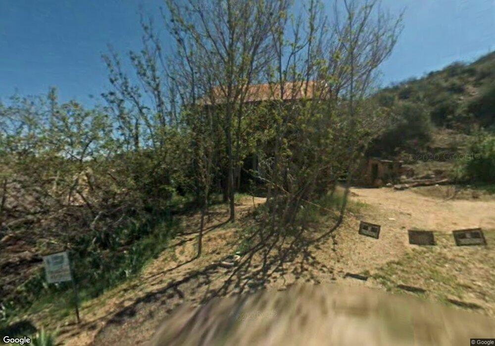
This home is located at 16 Silver St, Globe, AZ 85501 and is currently estimated at $139,568, approximately $67 per square foot. 16 Silver St is a home located in Gila County with nearby schools including Copper Rim Elementary School, High Desert Middle School, and Globe High School.
Ownership History
Date
Name
Owned For
Owner Type
Purchase Details
Closed on
Sep 21, 2018
Sold by
Nielsen Craig M and Nielsen Wendy
Bought by
M W Homes Llc
Current Estimated Value
Home Financials for this Owner
Home Financials are based on the most recent Mortgage that was taken out on this home.
Original Mortgage
$40,000
Outstanding Balance
$34,520
Interest Rate
4.5%
Mortgage Type
New Conventional
Estimated Equity
$105,048
Purchase Details
Closed on
Aug 31, 2010
Sold by
Guerra Maurice G and Guerra Angela Jean
Bought by
Nielsen Craig M and Nielsen Wendy
Home Financials for this Owner
Home Financials are based on the most recent Mortgage that was taken out on this home.
Original Mortgage
$31,500
Interest Rate
4.45%
Mortgage Type
Seller Take Back
Create a Home Valuation Report for This Property
The Home Valuation Report is an in-depth analysis detailing your home's value as well as a comparison with similar homes in the area
Home Values in the Area
Average Home Value in this Area
Purchase History
| Date | Buyer | Sale Price | Title Company |
|---|---|---|---|
| M W Homes Llc | $60,000 | Security Title Agency | |
| Nielsen Craig M | $36,500 | Pioneer Title Agency |
Source: Public Records
Mortgage History
| Date | Status | Borrower | Loan Amount |
|---|---|---|---|
| Open | M W Homes Llc | $40,000 | |
| Previous Owner | Nielsen Craig M | $31,500 |
Source: Public Records
Tax History
| Year | Tax Paid | Tax Assessment Tax Assessment Total Assessment is a certain percentage of the fair market value that is determined by local assessors to be the total taxable value of land and additions on the property. | Land | Improvement |
|---|---|---|---|---|
| 2026 | $692 | $11,592 | $1,230 | $10,362 |
| 2025 | $692 | -- | -- | -- |
| 2024 | $644 | $9,305 | $1,051 | $8,254 |
| 2023 | $644 | $6,915 | $881 | $6,034 |
| 2022 | $632 | $5,671 | $881 | $4,790 |
| 2021 | $670 | $5,671 | $881 | $4,790 |
| 2020 | $627 | $0 | $0 | $0 |
| 2019 | $618 | $0 | $0 | $0 |
| 2018 | $604 | $0 | $0 | $0 |
| 2017 | $587 | $0 | $0 | $0 |
| 2016 | $524 | $0 | $0 | $0 |
| 2015 | $505 | $0 | $0 | $0 |
Source: Public Records
Map
Nearby Homes
- 610 N Broad St
- 360 W Bailey St
- 267 E North St
- 396 N Broad St
- 840 N Devereaux St
- 601 N Sutherland St
- 300 N Broad St
- 1069 N Devereaux St
- 415 N Hill St
- 254 N Broad St
- 1021 High
- 523 E Copper Hills Rd
- 339 N Devereaux St
- 0 20710007g - 20710007f -- Unit 3 6895808
- 247 N Devereaux St
- 501 E Mesquite St
- 258 S Sutherland St
- 642 W Eagles Bluff
- 0 Cottonwood Unit 1806700
- 385 S Broad St
- 16 N Deep St
- 356 W Silver St
- 413 W Silver St
- 201 W Bankers St
- 322 W Banker Ave
- 317 W Banker Ave
- 908 N Broad St
- 334 W Pinal St Unit R012033
- 334 W Pinal St Unit 334
- 334 W Pinal St Unit 26
- 357 W Pinal St
- 327 W Pinal St
- 361 W Pinal St
- 369 W Silver St
- 402 W Banker Ave
- 367 W Pinal St
- 850 W Ash St
- 328 W Pinal St
- 381 W Silver St
- 376 W Silver St
Your Personal Tour Guide
Ask me questions while you tour the home.