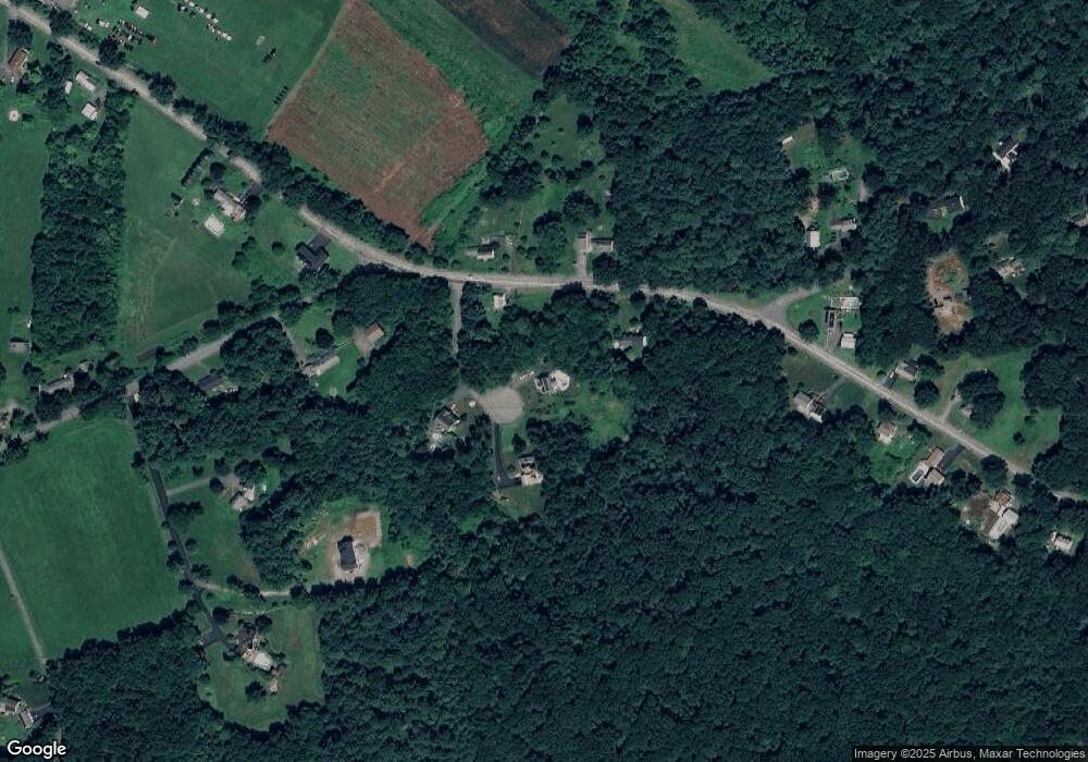
16 Storey Ln Uxbridge, MA 01569
Estimated Value: $639,000 - $698,990
3
Beds
3
Baths
2,280
Sq Ft
$296/Sq Ft
Est. Value
About This Home
This home is located at 16 Storey Ln, Uxbridge, MA 01569 and is currently estimated at $674,248, approximately $295 per square foot. 16 Storey Ln is a home located in Worcester County with nearby schools including Uxbridge High School, Whitinsville Christian School, and Our Lady of the Valley Regional School.
Ownership History
Date
Name
Owned For
Owner Type
Purchase Details
Closed on
Sep 27, 2006
Sold by
Laverdiere Kathleen and Laverdiere Paul
Bought by
Laverdiere Eli D and Laverdiere Laura A
Current Estimated Value
Home Financials for this Owner
Home Financials are based on the most recent Mortgage that was taken out on this home.
Original Mortgage
$225,000
Outstanding Balance
$134,707
Interest Rate
6.52%
Mortgage Type
Purchase Money Mortgage
Estimated Equity
$539,541
Purchase Details
Closed on
May 3, 2006
Sold by
Laverdiere Kathleen and Laverdiere Paul
Bought by
Laverdiere Eli and Laverdiere Laura
Create a Home Valuation Report for This Property
The Home Valuation Report is an in-depth analysis detailing your home's value as well as a comparison with similar homes in the area
Home Values in the Area
Average Home Value in this Area
Purchase History
| Date | Buyer | Sale Price | Title Company |
|---|---|---|---|
| Laverdiere Eli D | -- | -- | |
| Laverdiere Eli | -- | -- |
Source: Public Records
Mortgage History
| Date | Status | Borrower | Loan Amount |
|---|---|---|---|
| Open | Laverdiere Eli D | $225,000 |
Source: Public Records
Tax History Compared to Growth
Tax History
| Year | Tax Paid | Tax Assessment Tax Assessment Total Assessment is a certain percentage of the fair market value that is determined by local assessors to be the total taxable value of land and additions on the property. | Land | Improvement |
|---|---|---|---|---|
| 2025 | $87 | $666,100 | $185,100 | $481,000 |
| 2024 | $8,300 | $642,400 | $176,400 | $466,000 |
| 2023 | $7,629 | $546,900 | $129,300 | $417,600 |
| 2022 | $6,960 | $459,100 | $113,600 | $345,500 |
| 2021 | $7,263 | $459,100 | $113,600 | $345,500 |
| 2020 | $7,048 | $421,000 | $121,400 | $299,600 |
| 2019 | $7,209 | $415,500 | $133,200 | $282,300 |
| 2018 | $7,103 | $413,700 | $150,900 | $262,800 |
| 2017 | $6,511 | $383,900 | $136,500 | $247,400 |
| 2016 | $6,376 | $362,900 | $109,800 | $253,100 |
| 2015 | $6,229 | $358,000 | $109,800 | $248,200 |
Source: Public Records
Map
Nearby Homes
- 235 Rivulet St
- 99 Country Club Dr
- 0 Homestead Ave
- 7 Jefferson Ct Unit 7
- 26 Bayliss Way
- 22 Bayliss Way
- 3 Bayliss Way
- 60 Tyler Dr
- 129 Elm St Unit Lot 7
- 9 Banning Dr
- 36 Elm St
- 128 Linwood Ave
- 94 Heritage Dr Unit 94
- 307 N Main St
- 111 Windsor Ridge Dr
- 35 Highland Park Unit 35
- 18 East St Unit 24
- Lots 1-9 Spring St
- 113 Rogerson Crossing Unit 113
- 3 Strathmore Shire Unit A