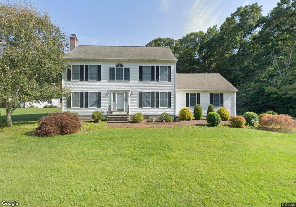
16 Sunset Ridge Deep River, CT 06417
Estimated Value: $535,495 - $632,000
3
Beds
3
Baths
2,128
Sq Ft
$274/Sq Ft
Est. Value
About This Home
This home is located at 16 Sunset Ridge, Deep River, CT 06417 and is currently estimated at $584,124, approximately $274 per square foot. 16 Sunset Ridge is a home located in Middlesex County with nearby schools including Valley Regional High School.
Ownership History
Date
Name
Owned For
Owner Type
Purchase Details
Closed on
Jun 24, 2005
Sold by
Plenter Jakob and Plenter Cornelia
Bought by
Ung Etan and Gemmill Sara
Current Estimated Value
Home Financials for this Owner
Home Financials are based on the most recent Mortgage that was taken out on this home.
Original Mortgage
$312,000
Interest Rate
5.82%
Create a Home Valuation Report for This Property
The Home Valuation Report is an in-depth analysis detailing your home's value as well as a comparison with similar homes in the area
Home Values in the Area
Average Home Value in this Area
Purchase History
| Date | Buyer | Sale Price | Title Company |
|---|---|---|---|
| Ung Etan | $390,000 | -- |
Source: Public Records
Mortgage History
| Date | Status | Borrower | Loan Amount |
|---|---|---|---|
| Open | Ung Etan | $314,800 | |
| Closed | Ung Etan | $312,000 | |
| Closed | Ung Etan | $28,000 |
Source: Public Records
Tax History
| Year | Tax Paid | Tax Assessment Tax Assessment Total Assessment is a certain percentage of the fair market value that is determined by local assessors to be the total taxable value of land and additions on the property. | Land | Improvement |
|---|---|---|---|---|
| 2025 | $7,844 | $245,280 | $49,630 | $195,650 |
| 2024 | $7,697 | $245,280 | $49,630 | $195,650 |
| 2023 | $7,329 | $245,280 | $49,630 | $195,650 |
| 2022 | $7,108 | $245,280 | $49,630 | $195,650 |
| 2021 | $7,255 | $245,280 | $49,630 | $195,650 |
| 2020 | $6,453 | $215,180 | $49,630 | $165,550 |
| 2019 | $6,331 | $215,180 | $49,630 | $165,550 |
| 2018 | $6,331 | $215,180 | $49,630 | $165,550 |
| 2017 | $6,223 | $215,180 | $49,630 | $165,550 |
| 2016 | $5,924 | $215,180 | $49,630 | $165,550 |
| 2015 | $6,144 | $233,800 | $55,160 | $178,640 |
| 2014 | $6,045 | $233,590 | $55,160 | $178,430 |
Source: Public Records
Map
Nearby Homes
- 538 Winthrop Rd
- 0 Glen Grove Rd
- 272 Westbrook Rd
- 112 Cedar Swamp Rd
- 97 Bushy Hill Rd
- 151 Bushy Hill Rd
- 24 Tower Hill Rd
- 41 Bushy Hill Rd
- 23 Lynn Rd
- 22 Ebony Ln
- 50 Kelseytown Rd
- 48A Ironworks Rd
- 279 Roast Meat Hill Rd
- 4 Laurel Ln
- 17 Colonial Dr
- 120 Warsaw St
- 179 Route 81
- 29 Mitchel Terrace
- 43 Evergreen Park
- 15 Hazen St
- 26 Sunset Ridge
- 32 Sunset Ridge
- 15 Sunset Ridge
- 40 Stevenstown Rd
- 21 Sunset Ridge
- 13 Sunset Ridge
- 29 Sunset Ridge
- 36 Sunset Ridge
- 78 Stevenstown Rd
- 92 Stevenstown Rd
- 38 Stevenstown Rd
- 40 Sunset Ridge
- 17 Witch Hazel Dr
- 29 Stevenstown Rd
- 15 Witch Hazel Dr
- 98 Stevenstown Rd
- 25 Witch Hazel Dr
- 10 Witch Hazel Dr
- 96 Stevenstown Rd
- 23 Stevenstown Rd
Your Personal Tour Guide
Ask me questions while you tour the home.