16 Svenson Ave Worcester, MA 01607
Broadmeadow Brook NeighborhoodEstimated Value: $369,000 - $502,000
2
Beds
2
Baths
1,000
Sq Ft
$429/Sq Ft
Est. Value
About This Home
Newly renovated, spacious two-bedroom unit in a quiet and friendly neighborhood* Heat and electricity included in rent*new vinyl siding & new double glazed replacement windows in 2020* New septic * paved parking* dead-end street surrounded by acres of conservation land and Broad Meadow Brook Audubon Wildlife Sanctuary* Quick access to schools, shopping, and major routes * Month-to-Month lease*
Ownership History
Date
Name
Owned For
Owner Type
Purchase Details
Closed on
Jun 14, 2011
Sold by
Nichols Jacqueline R
Bought by
Nichols Irt and Nichols Tr James S
Current Estimated Value
Create a Home Valuation Report for This Property
The Home Valuation Report is an in-depth analysis detailing your home's value as well as a comparison with similar homes in the area
Home Values in the Area
Average Home Value in this Area
Purchase History
| Date | Buyer | Sale Price | Title Company |
|---|---|---|---|
| Nichols Irt | -- | -- |
Source: Public Records
Property History
| Date | Event | Price | List to Sale | Price per Sq Ft |
|---|---|---|---|---|
| 06/17/2024 06/17/24 | For Rent | $2,250 | -- | -- |
Tax History Compared to Growth
Tax History
| Year | Tax Paid | Tax Assessment Tax Assessment Total Assessment is a certain percentage of the fair market value that is determined by local assessors to be the total taxable value of land and additions on the property. | Land | Improvement |
|---|---|---|---|---|
| 2025 | $4,880 | $370,000 | $119,400 | $250,600 |
| 2024 | $4,725 | $343,600 | $119,400 | $224,200 |
| 2023 | $4,398 | $306,700 | $103,800 | $202,900 |
| 2022 | $4,212 | $276,900 | $85,300 | $191,600 |
| 2021 | $3,663 | $225,000 | $68,700 | $156,300 |
| 2020 | $3,480 | $204,700 | $68,600 | $136,100 |
| 2019 | $3,564 | $198,000 | $62,300 | $135,700 |
| 2018 | $3,517 | $186,000 | $62,300 | $123,700 |
| 2017 | $3,362 | $174,900 | $62,300 | $112,600 |
| 2016 | $3,256 | $158,000 | $47,800 | $110,200 |
| 2015 | $3,171 | $158,000 | $47,800 | $110,200 |
| 2014 | $3,087 | $158,000 | $47,800 | $110,200 |
Source: Public Records
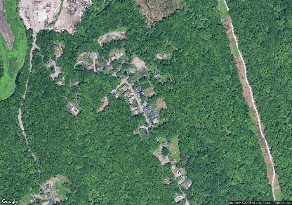
Map
Nearby Homes
- 4 Crest Ave
- 10 Gensell Ave
- 405 Granite St
- 46 Vincent Cir
- 11 Gibbs St Unit 12
- 7 Lorraine Rd
- 422 Granite St
- 103 Blackstone River Rd
- 266 Massasoit Rd
- 259 Massasoit Rd
- 145 Loxwood St
- 78 Greenwood St
- 25 Stoneham Rd
- 53 Denver Terrace
- 62 Allston Ave
- 42 Bridgeport St
- 8 Taunton St
- 10 Rutledge St Unit 3G
- 11 Benson St
- 8 Beaumont Rd
- 10 Svenson Ave
- 10 Svenson Ave Unit 2
- 10 Svenson Ave
- 10 Svenson Ave
- Lot 10D Svenson Ave
- 12 Hjelm Ave
- 7 Svenson Ave
- Lot D Svenson Ave
- 196 & 198 Svenson Ave
- 5 Svenson Ave
- 2 Crest Ave
- 74 Svenson Ave
- 9 Svenson Ave
- 3 Svenson Ave
- 5 Hjelm Ave
- 15 and 11 Svenson Ave
- 1 Svenson Ave
- 68 Svenson Ave
- Lot 0 Crest Ave
- 15 Svenson Ave