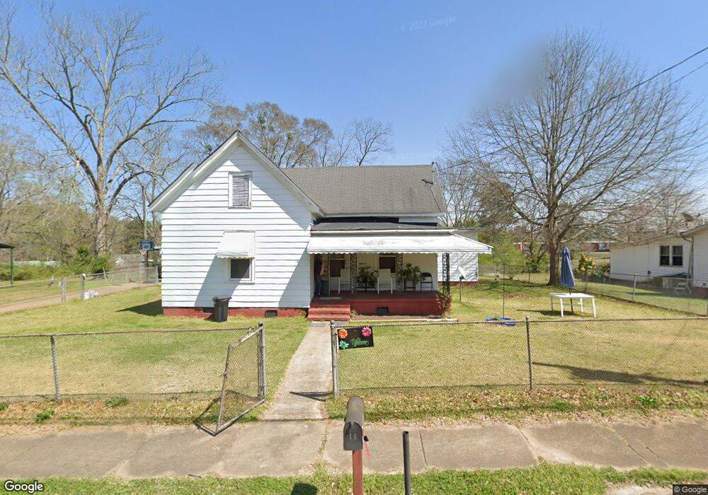
16 Thornton St Lagrange, GA 30241
Estimated Value: $84,000 - $139,000
3
Beds
2
Baths
1,380
Sq Ft
$77/Sq Ft
Est. Value
About This Home
This home is located at 16 Thornton St, Lagrange, GA 30241 and is currently estimated at $106,745, approximately $77 per square foot. 16 Thornton St is a home located in Troup County with nearby schools including Franklin Forest Elementary School, Hollis Hand Elementary School, and Ethel W. Kight Elementary School.
Ownership History
Date
Name
Owned For
Owner Type
Purchase Details
Closed on
Apr 12, 2018
Sold by
Barnes James Clemis
Bought by
Barnes James C and Barnes Linda M
Current Estimated Value
Purchase Details
Closed on
Dec 8, 2010
Sold by
Dufault Dolores Ann Fetner
Bought by
Barnes James C
Purchase Details
Closed on
May 20, 1983
Sold by
Avery Fetner
Bought by
Fetner Lola Mae
Purchase Details
Closed on
Jun 1, 1964
Sold by
Dunson Mills
Bought by
Avery Fetner
Create a Home Valuation Report for This Property
The Home Valuation Report is an in-depth analysis detailing your home's value as well as a comparison with similar homes in the area
Purchase History
| Date | Buyer | Sale Price | Title Company |
|---|---|---|---|
| Barnes James C | -- | -- | |
| Barnes James C | $19,419 | -- | |
| Fetner Lola Mae | -- | -- | |
| Avery Fetner | -- | -- |
Source: Public Records
Tax History
| Year | Tax Paid | Tax Assessment Tax Assessment Total Assessment is a certain percentage of the fair market value that is determined by local assessors to be the total taxable value of land and additions on the property. | Land | Improvement |
|---|---|---|---|---|
| 2025 | $660 | $24,548 | $5,360 | $19,188 |
| 2024 | $660 | $24,188 | $5,360 | $18,828 |
| 2023 | $609 | $22,332 | $5,360 | $16,972 |
| 2022 | $582 | $20,852 | $5,360 | $15,492 |
| 2021 | $517 | $17,148 | $3,040 | $14,108 |
| 2020 | $517 | $17,148 | $3,040 | $14,108 |
| 2019 | $427 | $14,144 | $3,060 | $11,084 |
| 2018 | $427 | $14,144 | $3,060 | $11,084 |
| 2017 | $427 | $14,144 | $3,060 | $11,084 |
| 2016 | $425 | $14,093 | $3,060 | $11,033 |
| 2015 | $426 | $14,084 | $3,052 | $11,033 |
| 2014 | $409 | $13,504 | $3,052 | $10,453 |
| 2013 | -- | $13,893 | $3,052 | $10,841 |
Source: Public Records
Map
Nearby Homes
- 4 1/2 Barnard Ave
- 5 Curran Ave
- 15 Fulton St
- 204 Cleveland Dr
- 212 Cleveland Dr
- 2 Louise St
- 3 Gulfstream Dr
- 5 Gulfstream Dr
- 87 Youngs Mill Rd
- 130 Clara Jean Ct
- 0 N Barnard Ave
- 115 Clara Jean Ct
- Coleman Plan at Crossvine Village
- Beckman Plan at Crossvine Village
- Fairfield Plan at Crossvine Village
- Broadmoor Plan at Crossvine Village
- Dover Plan at Crossvine Village
- 110 Lenox Cir
- 107 N Barnard Ave
- 0 E Render St
Your Personal Tour Guide
Ask me questions while you tour the home.