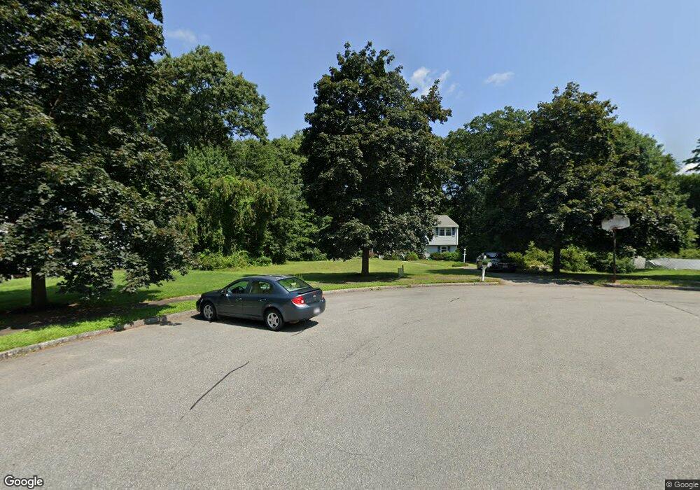
16 Tomahawk Dr Wilmington, MA 01887
Estimated Value: $826,876 - $1,065,000
3
Beds
2
Baths
1,288
Sq Ft
$728/Sq Ft
Est. Value
About This Home
This home is located at 16 Tomahawk Dr, Wilmington, MA 01887 and is currently estimated at $937,219, approximately $727 per square foot. 16 Tomahawk Dr is a home located in Middlesex County with nearby schools including Wilmington Middle School, Wilmington High School, and Abundant Life Christian School and Childcare.
Ownership History
Date
Name
Owned For
Owner Type
Purchase Details
Closed on
Oct 28, 1999
Sold by
Allen Richard A and Allen Carol-Ann
Bought by
Xin Mingde and Jiang Kaiye
Current Estimated Value
Home Financials for this Owner
Home Financials are based on the most recent Mortgage that was taken out on this home.
Original Mortgage
$206,000
Outstanding Balance
$63,034
Interest Rate
7.78%
Mortgage Type
Purchase Money Mortgage
Estimated Equity
$874,185
Purchase Details
Closed on
Jul 22, 1991
Sold by
Packard John A and Packard Sandra
Bought by
Allen Richard A and Allen Carol Ann
Create a Home Valuation Report for This Property
The Home Valuation Report is an in-depth analysis detailing your home's value as well as a comparison with similar homes in the area
Home Values in the Area
Average Home Value in this Area
Purchase History
| Date | Buyer | Sale Price | Title Company |
|---|---|---|---|
| Xin Mingde | $257,900 | -- | |
| Allen Richard A | $185,000 | -- |
Source: Public Records
Mortgage History
| Date | Status | Borrower | Loan Amount |
|---|---|---|---|
| Open | Allen Richard A | $100,000 | |
| Closed | Allen Richard A | $50,000 | |
| Open | Allen Richard A | $206,000 |
Source: Public Records
Tax History Compared to Growth
Tax History
| Year | Tax Paid | Tax Assessment Tax Assessment Total Assessment is a certain percentage of the fair market value that is determined by local assessors to be the total taxable value of land and additions on the property. | Land | Improvement |
|---|---|---|---|---|
| 2025 | $8,758 | $764,900 | $372,200 | $392,700 |
| 2024 | $8,681 | $759,500 | $372,200 | $387,300 |
| 2023 | $8,117 | $679,800 | $315,800 | $364,000 |
| 2022 | $7,729 | $593,200 | $263,200 | $330,000 |
| 2021 | $7,611 | $549,900 | $239,100 | $310,800 |
| 2020 | $7,735 | $569,600 | $239,100 | $330,500 |
| 2019 | $7,237 | $526,300 | $233,800 | $292,500 |
| 2018 | $6,812 | $472,700 | $222,600 | $250,100 |
| 2017 | $6,696 | $463,400 | $222,600 | $240,800 |
| 2016 | $6,348 | $433,900 | $211,900 | $222,000 |
| 2015 | $6,081 | $423,200 | $211,900 | $211,300 |
| 2014 | $5,720 | $401,700 | $201,700 | $200,000 |
Source: Public Records
Map
Nearby Homes