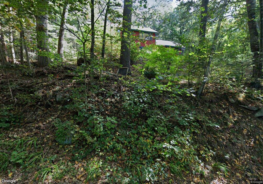
16 Tower Rd Lincoln, MA 01773
Estimated Value: $1,651,355 - $2,056,000
3
Beds
3
Baths
4,527
Sq Ft
$394/Sq Ft
Est. Value
About This Home
This home is located at 16 Tower Rd, Lincoln, MA 01773 and is currently estimated at $1,784,339, approximately $394 per square foot. 16 Tower Rd is a home located in Middlesex County with nearby schools including Lincoln-Sudbury Regional High School and Tremont School.
Ownership History
Date
Name
Owned For
Owner Type
Purchase Details
Closed on
Dec 27, 2010
Sold by
Vonmertens Peter B and Angiolillo Dea
Bought by
Angiolillo Dea and Vonmertens Peter B
Current Estimated Value
Purchase Details
Closed on
Aug 24, 2010
Sold by
Vonmertens Peter B
Bought by
Vonmertens Peter B and Angiolillo Dea
Purchase Details
Closed on
Feb 10, 2004
Sold by
Vonmertens Page and Vonmerte Peter B
Bought by
Vonmerte Peter B
Create a Home Valuation Report for This Property
The Home Valuation Report is an in-depth analysis detailing your home's value as well as a comparison with similar homes in the area
Home Values in the Area
Average Home Value in this Area
Purchase History
| Date | Buyer | Sale Price | Title Company |
|---|---|---|---|
| Angiolillo Dea | -- | -- | |
| Vonmertens Peter B | -- | -- | |
| Vonmerte Peter B | -- | -- |
Source: Public Records
Tax History Compared to Growth
Tax History
| Year | Tax Paid | Tax Assessment Tax Assessment Total Assessment is a certain percentage of the fair market value that is determined by local assessors to be the total taxable value of land and additions on the property. | Land | Improvement |
|---|---|---|---|---|
| 2025 | $158 | $1,232,300 | $818,500 | $413,800 |
| 2024 | $15,599 | $1,210,200 | $802,300 | $407,900 |
| 2023 | $14,700 | $1,056,000 | $651,000 | $405,000 |
| 2022 | $14,599 | $977,800 | $602,400 | $375,400 |
| 2021 | $14,455 | $931,400 | $563,000 | $368,400 |
| 2020 | $14,581 | $949,300 | $584,100 | $365,200 |
| 2019 | $12,791 | $911,700 | $568,600 | $343,100 |
| 2018 | $12,399 | $911,700 | $568,600 | $343,100 |
| 2017 | $12,282 | $896,500 | $563,000 | $333,500 |
| 2016 | $12,226 | $873,900 | $546,800 | $327,100 |
| 2015 | $11,743 | $829,900 | $506,000 | $323,900 |
| 2014 | $11,114 | $771,300 | $471,500 | $299,800 |
Source: Public Records
Map
Nearby Homes
- 22 Lincoln Rd
- 44 Baker Bridge Rd
- 23 Bedford Rd
- 19 Conant Rd
- 130 Tower Rd
- 89 Lexington Rd
- 28 Blueberry Ln
- 192 Concord Rd
- 3 Clifford Ln
- 6 Clifford Ln
- 16 Old Cambridge Turnpike
- 88 Winter St
- 69 Page Rd
- 84 Davison Dr
- 93 Old Sudbury Rd
- 416 Conant Rd
- 10 Reiling Pond Rd
- 646 Cambridge Turnpike
- 15 Myles Standish Rd
- 121 Cherry Brook Rd