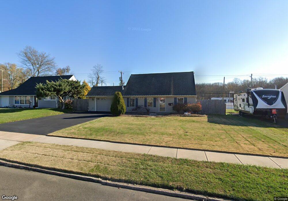
16 Towpath Rd Levittown, PA 19056
Estimated Value: $299,000 - $436,000
4
Beds
2
Baths
1,275
Sq Ft
$302/Sq Ft
Est. Value
About This Home
This home is located at 16 Towpath Rd, Levittown, PA 19056 and is currently estimated at $384,693, approximately $301 per square foot. 16 Towpath Rd is a home located in Bucks County with nearby schools including Pearl S. Buck Elementary School, Maple Point Middle School, and Neshaminy High School.
Ownership History
Date
Name
Owned For
Owner Type
Purchase Details
Closed on
Oct 30, 2020
Sold by
Mclarnon Christopher F
Bought by
Mclarnon Christopher E and Mclarnon Bridget Marie
Current Estimated Value
Home Financials for this Owner
Home Financials are based on the most recent Mortgage that was taken out on this home.
Original Mortgage
$210,000
Outstanding Balance
$152,007
Interest Rate
2.9%
Mortgage Type
New Conventional
Estimated Equity
$232,686
Purchase Details
Closed on
May 18, 1976
Bought by
Kemmerling Mildred T
Create a Home Valuation Report for This Property
The Home Valuation Report is an in-depth analysis detailing your home's value as well as a comparison with similar homes in the area
Home Values in the Area
Average Home Value in this Area
Purchase History
| Date | Buyer | Sale Price | Title Company |
|---|---|---|---|
| Mclarnon Christopher E | -- | None Available | |
| Kemmerling Mildred T | -- | -- |
Source: Public Records
Mortgage History
| Date | Status | Borrower | Loan Amount |
|---|---|---|---|
| Open | Mclarnon Christopher E | $210,000 |
Source: Public Records
Tax History
| Year | Tax Paid | Tax Assessment Tax Assessment Total Assessment is a certain percentage of the fair market value that is determined by local assessors to be the total taxable value of land and additions on the property. | Land | Improvement |
|---|---|---|---|---|
| 2025 | $4,702 | $21,600 | $4,880 | $16,720 |
| 2024 | $4,702 | $21,600 | $4,880 | $16,720 |
| 2023 | $4,628 | $21,600 | $4,880 | $16,720 |
| 2022 | $4,506 | $21,600 | $4,880 | $16,720 |
| 2021 | $4,506 | $21,600 | $4,880 | $16,720 |
| 2020 | $4,452 | $21,600 | $4,880 | $16,720 |
| 2019 | $4,353 | $21,600 | $4,880 | $16,720 |
| 2018 | $4,273 | $21,600 | $4,880 | $16,720 |
| 2017 | $4,164 | $21,600 | $4,880 | $16,720 |
| 2016 | $4,164 | $21,600 | $4,880 | $16,720 |
| 2015 | $4,353 | $21,600 | $4,880 | $16,720 |
| 2014 | $4,353 | $21,600 | $4,880 | $16,720 |
Source: Public Records
Map
Nearby Homes
- 46 Trail Rd
- 43 Tweed Rd
- 118 Blough Rd
- 109 Blough Rd
- 215 Blough Ct Unit HIV
- 0000 Kyle Ln
- 01 Kyle Ln
- 000 Kyle Ln
- 305 Devon Rd
- 541 Stanford Rd
- 213 Welsford Rd
- 169 Forsythia Dr N
- 153 Mercer Ct
- 9 Harmony Rd
- 90 Cobalt Ridge Dr E Unit E
- 76 Cobalt Ridge Dr E Unit E
- 405 Andover Rd
- 9 Honey Locust Rd
- 1836 3rd St
- 433 Austin Cir
Your Personal Tour Guide
Ask me questions while you tour the home.