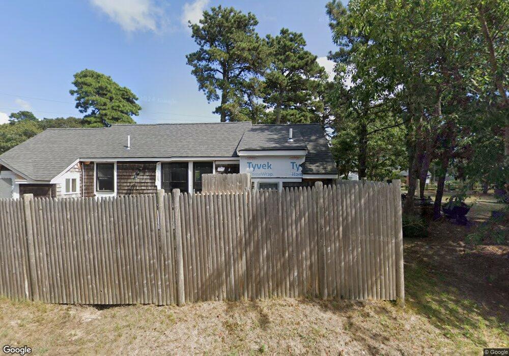
16 Uncle Ezras Path Dennis Port, MA 02639
Dennis Port NeighborhoodEstimated Value: $505,000 - $631,000
2
Beds
1
Bath
792
Sq Ft
$712/Sq Ft
Est. Value
About This Home
This home is located at 16 Uncle Ezras Path, Dennis Port, MA 02639 and is currently estimated at $563,753, approximately $711 per square foot. 16 Uncle Ezras Path is a home located in Barnstable County with nearby schools including Dennis-Yarmouth Regional High School and St. Pius X. School.
Ownership History
Date
Name
Owned For
Owner Type
Purchase Details
Closed on
Dec 1, 2005
Sold by
Oxford Road T and Ducey Doris A
Bought by
Rockel Keith
Current Estimated Value
Home Financials for this Owner
Home Financials are based on the most recent Mortgage that was taken out on this home.
Original Mortgage
$90,000
Outstanding Balance
$49,906
Interest Rate
6.14%
Mortgage Type
Purchase Money Mortgage
Estimated Equity
$513,847
Create a Home Valuation Report for This Property
The Home Valuation Report is an in-depth analysis detailing your home's value as well as a comparison with similar homes in the area
Home Values in the Area
Average Home Value in this Area
Purchase History
| Date | Buyer | Sale Price | Title Company |
|---|---|---|---|
| Rockel Keith | $273,000 | -- |
Source: Public Records
Mortgage History
| Date | Status | Borrower | Loan Amount |
|---|---|---|---|
| Open | Rockel Keith | $90,000 |
Source: Public Records
Tax History Compared to Growth
Tax History
| Year | Tax Paid | Tax Assessment Tax Assessment Total Assessment is a certain percentage of the fair market value that is determined by local assessors to be the total taxable value of land and additions on the property. | Land | Improvement |
|---|---|---|---|---|
| 2025 | $2,193 | $506,400 | $204,000 | $302,400 |
| 2024 | $2,015 | $459,100 | $196,100 | $263,000 |
| 2023 | $1,949 | $417,400 | $178,300 | $239,100 |
| 2022 | $1,870 | $334,000 | $160,600 | $173,400 |
| 2021 | $1,936 | $321,100 | $180,000 | $141,100 |
| 2020 | $1,742 | $285,500 | $157,500 | $128,000 |
| 2019 | $1,679 | $272,200 | $154,400 | $117,800 |
| 2018 | $1,618 | $255,200 | $147,000 | $108,200 |
| 2017 | $1,483 | $241,200 | $136,500 | $104,700 |
| 2016 | $1,542 | $236,100 | $147,000 | $89,100 |
| 2015 | $1,511 | $236,100 | $147,000 | $89,100 |
| 2014 | $1,366 | $215,100 | $126,000 | $89,100 |
Source: Public Records
Map
Nearby Homes
- 31 Easy St
- 80 Michaels Ave
- 22 Wixon Rd
- 64 Beaten Rd
- 37 Ocean Dr Unit 2
- 19 Standish Way
- 37 Beach Hills Rd
- 262 Old Wharf Rd Unit 67
- 262 Old Wharf Rd Unit 5
- 262 Old Wharf Rd Unit 5
- 262 Old Wharf Rd Unit 20
- 262 Old Wharf Rd Unit 87
- 37-A Beach Hills Rd
- 154 Old Wharf Rd Unit 26
- 154 Old Wharf Rd Unit 14
- 22 Ferncliff Rd
- 217 Old Wharf Rd Unit 64
- 241 Old Wharf Rd Unit 82
- 241 Old Wharf Rd Unit 127
- 241 Old Wharf Rd Unit 90
- 9 Lorree Ln
- 13 Uncle Ezras Path
- 9 Uncle Ezras Path
- 5 Lorree Ln
- 17 Uncle Ezras Path
- 12 Uncle Ezras Path
- 11 Lorree Ln
- 19 Uncle Ezras Path
- 174 Lower County Rd
- 17 Lorree Ln
- 87 Captain Chase Rd
- 96 Captain Chase Rd
- 91 Captain Chase Rd
- 85 Captain Chase Rd
- 8 Uncle Ezras Path
- 168 Lower County Rd Unit 1
- 93 Captain Chase Rd
- 6 Lorree Ln
- 81 Captain Chase Rd
- 10 Lorree Ln