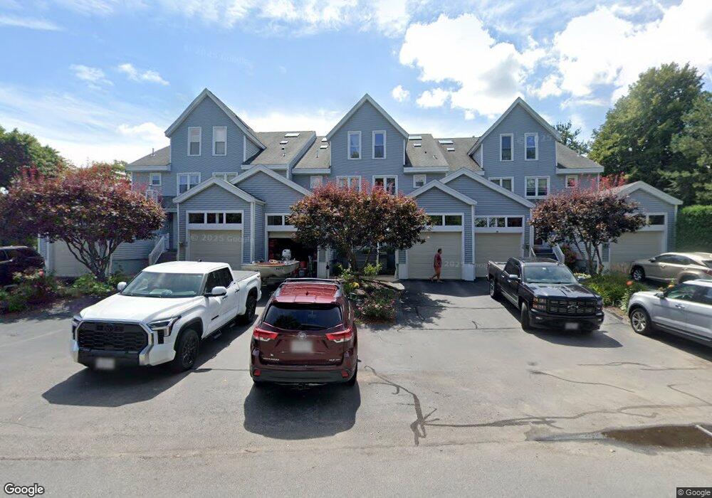
16 Union Point Rd Webster, MA 01570
Estimated Value: $601,000 - $951,000
2
Beds
5
Baths
3,291
Sq Ft
$223/Sq Ft
Est. Value
About This Home
This home is located at 16 Union Point Rd, Webster, MA 01570 and is currently estimated at $735,197, approximately $223 per square foot. 16 Union Point Rd is a home located in Worcester County with nearby schools including Park Avenue Elementary School, Webster Middle School, and Bartlett High School.
Ownership History
Date
Name
Owned For
Owner Type
Purchase Details
Closed on
Sep 24, 1999
Sold by
Kistner Theodore R and Kistner Anne Marie
Bought by
Theriault Robert J and Theriault Ann R
Current Estimated Value
Purchase Details
Closed on
Jan 29, 1993
Sold by
Szlyk Edward P
Bought by
Shonbeck Meredith
Create a Home Valuation Report for This Property
The Home Valuation Report is an in-depth analysis detailing your home's value as well as a comparison with similar homes in the area
Home Values in the Area
Average Home Value in this Area
Purchase History
| Date | Buyer | Sale Price | Title Company |
|---|---|---|---|
| Theriault Robert J | $262,500 | -- | |
| Shonbeck Meredith | $285,000 | -- |
Source: Public Records
Mortgage History
| Date | Status | Borrower | Loan Amount |
|---|---|---|---|
| Open | Shonbeck Meredith | $145,000 | |
| Closed | Shonbeck Meredith | $147,000 |
Source: Public Records
Tax History
| Year | Tax Paid | Tax Assessment Tax Assessment Total Assessment is a certain percentage of the fair market value that is determined by local assessors to be the total taxable value of land and additions on the property. | Land | Improvement |
|---|---|---|---|---|
| 2025 | $8,714 | $733,500 | $0 | $733,500 |
| 2024 | $8,511 | $698,800 | $0 | $698,800 |
| 2023 | $8,278 | $662,200 | $0 | $662,200 |
| 2022 | $7,319 | $524,300 | $0 | $524,300 |
| 2021 | $7,343 | $486,300 | $0 | $486,300 |
| 2020 | $7,190 | $477,400 | $0 | $477,400 |
| 2019 | $6,951 | $453,400 | $0 | $453,400 |
| 2018 | $6,845 | $444,800 | $0 | $444,800 |
| 2017 | $6,672 | $441,000 | $0 | $441,000 |
| 2016 | $6,677 | $441,000 | $0 | $441,000 |
| 2015 | $6,053 | $412,300 | $0 | $412,300 |
Source: Public Records
Map
Nearby Homes
- 12 Union Point Rd
- 18 Union Point Rd
- 20 Union Point Rd
- 22 Union Point Rd
- 20 Union Point Rd Unit 2 20
- 20 Union Point Rd Unit 2
- 14 Union Point Rd
- 14 Union Point Rd Unit 14,1
- 8 Union Point Rd
- 26 Union Point Rd
- 28 Union Point Rd
- 6 Union Point Rd
- 27 Union Point Rd
- 30 Union Point Rd
- 29 Union Point Rd
- 29 Union Point Rd Unit 1
- 32 Union Point Rd
- 104 Union Point Rd
- 34 Union Point Rd
Your Personal Tour Guide
Ask me questions while you tour the home.