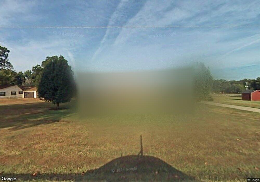
Estimated Value: $225,658 - $240,000
--
Bed
2
Baths
1,727
Sq Ft
$135/Sq Ft
Est. Value
About This Home
This home is located at 16 Vicki Lynn St, Cabot, AR 72023 and is currently estimated at $233,415, approximately $135 per square foot. 16 Vicki Lynn St is a home located in Lonoke County with nearby schools including Southside Elementary School, Cabot Junior High South, and Cabot Middle School South.
Ownership History
Date
Name
Owned For
Owner Type
Purchase Details
Closed on
Sep 15, 2003
Bought by
Polk
Current Estimated Value
Purchase Details
Closed on
Oct 18, 1999
Bought by
Helton Richard A
Purchase Details
Closed on
Jan 20, 1999
Bought by
Helton and Helton Rebecca
Purchase Details
Closed on
Jan 7, 1999
Bought by
Heltons
Purchase Details
Closed on
Mar 21, 1996
Bought by
Lemmons Const
Purchase Details
Closed on
Jun 6, 1988
Bought by
Helton and Wife Nadine
Purchase Details
Closed on
Jun 18, 1987
Bought by
School (Easement)
Purchase Details
Closed on
Mar 31, 1986
Bought by
Adair and Wife Julie Ann
Create a Home Valuation Report for This Property
The Home Valuation Report is an in-depth analysis detailing your home's value as well as a comparison with similar homes in the area
Home Values in the Area
Average Home Value in this Area
Purchase History
| Date | Buyer | Sale Price | Title Company |
|---|---|---|---|
| Polk | $125,000 | -- | |
| Polk | $125,000 | -- | |
| Helton Richard A | -- | -- | |
| Helton | -- | -- | |
| Heltons | $100,000 | -- | |
| Lemmons Const | $30,000 | -- | |
| Helton | $30,000 | -- | |
| School (Easement) | -- | -- | |
| Adair | $1,000 | -- |
Source: Public Records
Tax History Compared to Growth
Tax History
| Year | Tax Paid | Tax Assessment Tax Assessment Total Assessment is a certain percentage of the fair market value that is determined by local assessors to be the total taxable value of land and additions on the property. | Land | Improvement |
|---|---|---|---|---|
| 2025 | $1,037 | $28,720 | $2,400 | $26,320 |
| 2024 | $1,037 | $28,720 | $2,400 | $26,320 |
| 2023 | $1,037 | $28,720 | $2,400 | $26,320 |
| 2022 | $1,087 | $28,720 | $2,400 | $26,320 |
| 2021 | $1,087 | $28,720 | $2,400 | $26,320 |
| 2020 | $1,047 | $27,930 | $2,400 | $25,530 |
| 2019 | $1,047 | $27,930 | $2,400 | $25,530 |
| 2018 | $1,030 | $27,930 | $2,400 | $25,530 |
| 2017 | $1,282 | $27,930 | $2,400 | $25,530 |
| 2016 | $1,030 | $27,930 | $2,400 | $25,530 |
| 2015 | $1,094 | $29,240 | $2,400 | $26,840 |
| 2014 | $1,094 | $29,240 | $2,400 | $26,840 |
Source: Public Records
Map
Nearby Homes
- 507 Southhaven Ave
- 45 Earnhardt Cir
- 27 Mary Ann Cir
- 10 Bill Foster Memorial Hwy E
- 1 Bill Foster Memorial Hwy E
- 00 Bill Foster Memorial Hwy E
- 25 Talladega Loop
- 15 Judith Ct
- 37 Talladega Loop
- 82 Earnhardt Cir
- 202 Bradley Dr
- 46 Thunderbird Dr
- 212 Pine Terrace Dr
- 59 Thunderbird Dr
- 23 Warren St
- 400 Mount Carmel Rd
- 225 Jackson Park Cove
- 22 Oakwood Dr
- 36 Brentwood Cove
- 19 Aberdeen Dr
- 20 Vicki Lynn St
- 10 Vicki Lynn St
- 0 Vicki Lynn
- 22 Michael Dr
- 0 Michael
- 20 Michael Dr
- 18 Michael Dr
- 23 Vicki Lynn St
- 24 Michael Dr
- 16 Michael Dr
- 26 Michael Dr
- 19 Michael Dr
- 404 Southhaven Ave
- 504 Southhaven Ave
- 14 Michael Dr
- 17 Chad Ct
- 18 Chad Ct
- 0 Southhaven Ave Unit 17027967
- 0 Southhaven Ave Unit 20026902
- 0 Southhaven Ave
