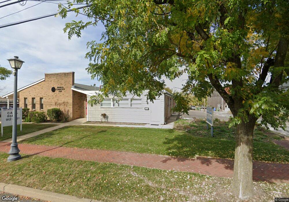
16 W Main St Unit A Marlton, NJ 08053
Estimated Value: $636,664
--
Bed
--
Bath
4,357
Sq Ft
$146/Sq Ft
Est. Value
About This Home
This home is located at 16 W Main St Unit A, Marlton, NJ 08053 and is currently estimated at $636,664, approximately $146 per square foot. 16 W Main St Unit A is a home located in Burlington County with nearby schools including Marlton Middle School, Cherokee High School, and Lenape High School.
Ownership History
Date
Name
Owned For
Owner Type
Purchase Details
Closed on
Jun 15, 2022
Sold by
Ruc Llc
Bought by
16 West Main Llc
Current Estimated Value
Home Financials for this Owner
Home Financials are based on the most recent Mortgage that was taken out on this home.
Original Mortgage
$350,000
Outstanding Balance
$332,499
Interest Rate
5.09%
Mortgage Type
Construction
Estimated Equity
$304,165
Purchase Details
Closed on
Nov 25, 2003
Sold by
Kennedy Property Corp
Bought by
Ruc Llc
Create a Home Valuation Report for This Property
The Home Valuation Report is an in-depth analysis detailing your home's value as well as a comparison with similar homes in the area
Home Values in the Area
Average Home Value in this Area
Purchase History
| Date | Buyer | Sale Price | Title Company |
|---|---|---|---|
| 16 West Main Llc | $500,000 | Ruccolo Laura D | |
| 16 West Main Llc | $500,000 | Ruccolo Laura D | |
| Ruc Llc | $355,000 | Congress Title Corp |
Source: Public Records
Mortgage History
| Date | Status | Borrower | Loan Amount |
|---|---|---|---|
| Open | 16 West Main Llc | $350,000 | |
| Closed | 16 West Main Llc | $350,000 |
Source: Public Records
Tax History Compared to Growth
Tax History
| Year | Tax Paid | Tax Assessment Tax Assessment Total Assessment is a certain percentage of the fair market value that is determined by local assessors to be the total taxable value of land and additions on the property. | Land | Improvement |
|---|---|---|---|---|
| 2025 | $17,929 | $525,000 | $175,000 | $350,000 |
| 2024 | $16,868 | $525,000 | $175,000 | $350,000 |
| 2023 | $16,868 | $525,000 | $175,000 | $350,000 |
| 2022 | $16,112 | $525,000 | $175,000 | $350,000 |
| 2021 | $15,734 | $525,000 | $175,000 | $350,000 |
| 2020 | $15,530 | $525,000 | $175,000 | $350,000 |
| 2019 | $16,137 | $550,000 | $175,000 | $375,000 |
| 2018 | $19,467 | $672,900 | $202,900 | $470,000 |
| 2017 | $19,238 | $672,900 | $202,900 | $470,000 |
| 2016 | $18,767 | $672,900 | $202,900 | $470,000 |
| 2015 | $18,437 | $672,900 | $202,900 | $470,000 |
| 2014 | $17,913 | $672,900 | $202,900 | $470,000 |
Source: Public Records
Map
Nearby Homes
- 30 Cooper Ave
- 118 Cambridge Ave
- 128 Cambridge Ave
- 61 S Maple Ave
- 42 S Locust Ave
- 607 Lindsey Ct
- 63 Banner Ct Unit 63
- 31 Flintstone Dr
- 23 King Ave
- 22 Hawk Ln
- 12 Princess Ave
- 360 Juniper St
- 800 Marlowe Rd
- 29 Marlborough Ave
- 15 Erynwood Ave
- 213 Balfield Terrace
- 78 Kent Ave
- 220 Deerpark Ct
- 1 Sunnyside Ct
- 1406 Jonathan Ln