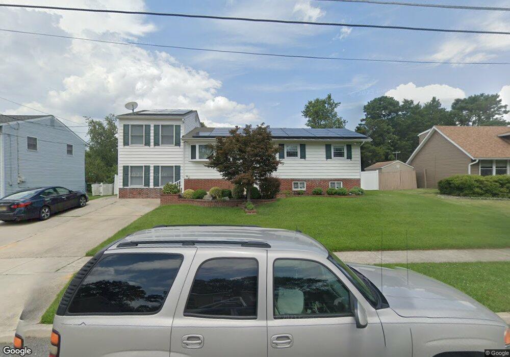
16 Wexford Rd Unit A Gibbsboro, NJ 08026
Estimated Value: $510,491 - $550,000
3
Beds
2
Baths
1,200
Sq Ft
$449/Sq Ft
Est. Value
About This Home
This home is located at 16 Wexford Rd Unit A, Gibbsboro, NJ 08026 and is currently estimated at $538,373, approximately $448 per square foot. 16 Wexford Rd Unit A is a home located in Camden County with nearby schools including Gibbsboro Elementary School, Eastern Regional High School, and Kellman Brown Academy.
Create a Home Valuation Report for This Property
The Home Valuation Report is an in-depth analysis detailing your home's value as well as a comparison with similar homes in the area
Home Values in the Area
Average Home Value in this Area
Tax History Compared to Growth
Tax History
| Year | Tax Paid | Tax Assessment Tax Assessment Total Assessment is a certain percentage of the fair market value that is determined by local assessors to be the total taxable value of land and additions on the property. | Land | Improvement |
|---|---|---|---|---|
| 2025 | $11,946 | $269,600 | $65,700 | $203,900 |
| 2024 | $11,482 | $269,600 | $65,700 | $203,900 |
| 2023 | $11,482 | $269,600 | $65,700 | $203,900 |
| 2022 | $11,194 | $269,600 | $65,700 | $203,900 |
| 2021 | $10,433 | $269,600 | $65,700 | $203,900 |
| 2020 | $10,811 | $269,600 | $65,700 | $203,900 |
| 2019 | $9,703 | $269,600 | $65,700 | $203,900 |
| 2018 | $9,125 | $178,300 | $43,700 | $134,600 |
| 2017 | $9,020 | $178,300 | $43,700 | $134,600 |
| 2016 | $8,972 | $178,300 | $43,700 | $134,600 |
| 2015 | $8,428 | $178,300 | $43,700 | $134,600 |
| 2014 | $8,171 | $178,300 | $43,700 | $134,600 |
Source: Public Records
Map
Nearby Homes
- 7 Ridgewood Rd
- 23 Clementon Rd E
- 29 Clementon Rd E
- NORRIS Plan at Lakeside Village
- ELMORE Plan at Lakeside Village
- 11 Clementon Rd E
- 15 Clementon Rd E
- 33 Clementon Rd W
- 9 United States Ave W
- 13 Stamford Dr
- 19 Stokes Ave
- 23A Marlton Ave
- 35 Birchwood Way
- 201 Kirkwood Rd
- 57 Matlack Dr
- 2 Borton Ave
- 19 Hopkins St
- 1256 Kirkwood-Gibbsboro R
- 37 Glen Dr
- 2302 Sandra Rd