16 Wheatfield Ln West Dennis, MA 02670
West Dennis NeighborhoodEstimated Value: $985,000 - $3,224,340
3
Beds
2
Baths
1,404
Sq Ft
$1,499/Sq Ft
Est. Value
About This Home
This home is located at 16 Wheatfield Ln, West Dennis, MA 02670 and is currently estimated at $2,104,670, approximately $1,499 per square foot. 16 Wheatfield Ln is a home located in Barnstable County with nearby schools including Dennis-Yarmouth Regional High School and St. Pius X. School.
Ownership History
Date
Name
Owned For
Owner Type
Purchase Details
Closed on
May 20, 2015
Sold by
Donovan Paul T and Sullivan Maria L
Bought by
Ndy Rt
Current Estimated Value
Purchase Details
Closed on
Jan 10, 2011
Sold by
Koulouris Paul E and Lockhart George G
Bought by
Donovan Paul T and Sullivan Maria L
Create a Home Valuation Report for This Property
The Home Valuation Report is an in-depth analysis detailing your home's value as well as a comparison with similar homes in the area
Home Values in the Area
Average Home Value in this Area
Purchase History
| Date | Buyer | Sale Price | Title Company |
|---|---|---|---|
| Ndy Rt | -- | -- | |
| Donovan Paul T | $885,750 | -- |
Source: Public Records
Tax History Compared to Growth
Tax History
| Year | Tax Paid | Tax Assessment Tax Assessment Total Assessment is a certain percentage of the fair market value that is determined by local assessors to be the total taxable value of land and additions on the property. | Land | Improvement |
|---|---|---|---|---|
| 2025 | $11,509 | $2,658,000 | $625,100 | $2,032,900 |
| 2024 | $11,655 | $2,654,800 | $601,200 | $2,053,600 |
| 2023 | $9,670 | $2,070,700 | $552,900 | $1,517,800 |
| 2022 | $4,856 | $867,200 | $498,100 | $369,100 |
| 2021 | $5,021 | $832,600 | $511,000 | $321,600 |
| 2020 | $4,801 | $787,000 | $488,300 | $298,700 |
| 2019 | $4,663 | $755,700 | $478,800 | $276,900 |
| 2018 | $5,337 | $841,800 | $582,900 | $258,900 |
| 2017 | $55,302 | $836,100 | $583,000 | $253,100 |
| 2016 | $5,680 | $869,900 | $646,600 | $223,300 |
| 2015 | $5,567 | $869,900 | $646,600 | $223,300 |
| 2014 | $5,524 | $869,900 | $646,600 | $223,300 |
Source: Public Records
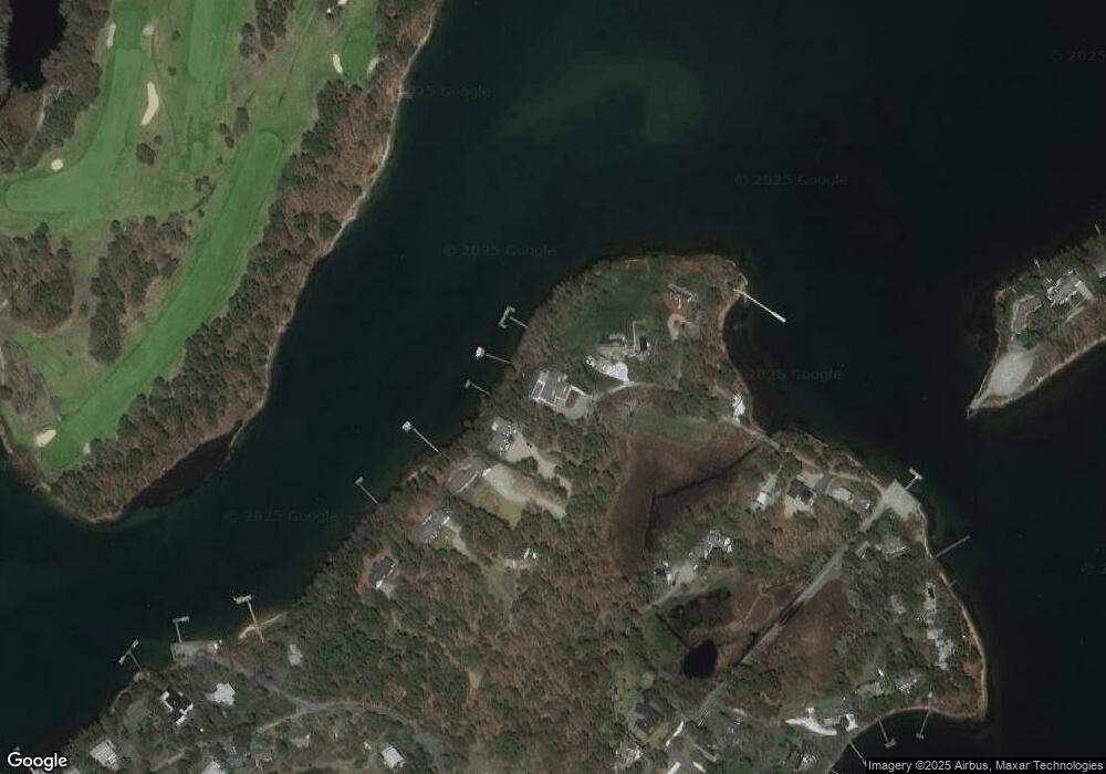
Map
Nearby Homes
- 428 Main St Unit 1-11
- 467 Main St
- 401 Main St Unit 201
- 401 Main St Unit 101
- 209 Main St Unit 3
- 209 Main St Unit 6
- 209 Main St Unit 1
- 209 Main St Unit 2
- 209 Main St Unit 4
- 209 Main St Unit 5
- 23 Doric Ave
- 18 Turner Ln
- 29 Bass River Rd
- 45 Seth Ln
- 1 Country Club Dr
- 14 Schoolhouse Ln
- 40 Kelley Rd
- 116 N Main St
- 23 Fairwood Rd
- 21 Green Way