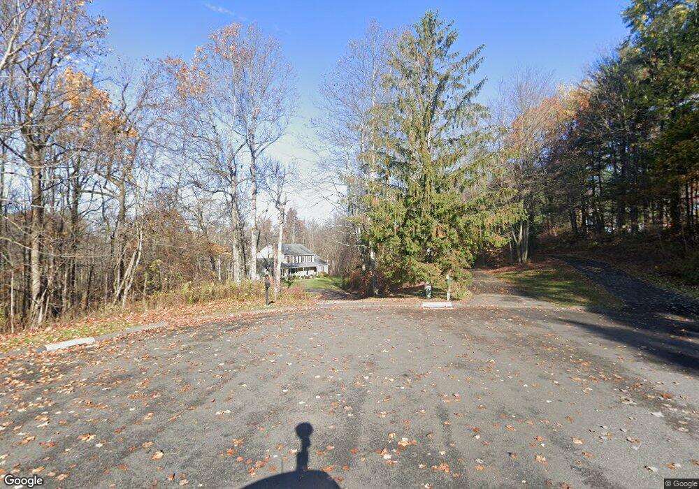
16 White Tail Ln Brookfield, CT 06804
Estimated Value: $767,918 - $863,000
3
Beds
4
Baths
2,902
Sq Ft
$279/Sq Ft
Est. Value
About This Home
This home is located at 16 White Tail Ln, Brookfield, CT 06804 and is currently estimated at $809,480, approximately $278 per square foot. 16 White Tail Ln is a home located in Fairfield County with nearby schools including Whisconier Middle School, Brookfield High School, and Montessori Community School at Brookfield.
Ownership History
Date
Name
Owned For
Owner Type
Purchase Details
Closed on
Dec 8, 2000
Sold by
Werner Karl and Werner Amy
Bought by
Denatale Thomas and Denatale Crystal
Current Estimated Value
Purchase Details
Closed on
Aug 31, 1998
Sold by
King Eileen G and King Daniel J
Bought by
Mcmillin Mary J and Mcmillin Jeffrey A
Create a Home Valuation Report for This Property
The Home Valuation Report is an in-depth analysis detailing your home's value as well as a comparison with similar homes in the area
Home Values in the Area
Average Home Value in this Area
Purchase History
We collect this data history from publicly available records. To have your information removed, we recommend requesting removal directly through your county’s website.
| Date | Buyer | Sale Price | Title Company |
|---|---|---|---|
| Denatale Thomas | $394,250 | -- | |
| Denatale Thomas | $394,250 | -- | |
| Mcmillin Mary J | $320,000 | -- | |
| Mcmillin Mary J | $320,000 | -- |
Source: Public Records
Mortgage History
We collect this data history from publicly available records. To have your information removed, we recommend requesting removal directly through your county’s website.
| Date | Status | Borrower | Loan Amount |
|---|---|---|---|
| Open | Mcmillin Mary J | $355,000 | |
| Closed | Mcmillin Mary J | $35,000 |
Source: Public Records
Tax History
| Year | Tax Paid | Tax Assessment Tax Assessment Total Assessment is a certain percentage of the fair market value that is determined by local assessors to be the total taxable value of land and additions on the property. | Land | Improvement |
|---|---|---|---|---|
| 2025 | $10,690 | $369,500 | $129,850 | $239,650 |
| 2024 | $10,309 | $369,500 | $129,850 | $239,650 |
| 2023 | $9,925 | $369,500 | $129,850 | $239,650 |
| 2022 | $9,563 | $369,500 | $129,850 | $239,650 |
| 2021 | $5,934 | $317,690 | $144,540 | $173,150 |
| 2020 | $9,420 | $317,690 | $144,540 | $173,150 |
| 2019 | $17,228 | $317,690 | $144,540 | $173,150 |
| 2018 | $17,228 | $317,690 | $144,540 | $173,150 |
| 2017 | $5,914 | $317,690 | $144,540 | $173,150 |
| 2016 | $8,735 | $330,860 | $160,140 | $170,720 |
| 2015 | $8,503 | $330,860 | $160,140 | $170,720 |
| 2014 | $8,503 | $330,860 | $160,140 | $170,720 |
Source: Public Records
Map
Nearby Homes
- 46 High Ridge Rd
- 59 Obtuse Rd S
- 70 Obtuse Hill Rd
- 16 N Beech Tree Rd
- 6 Brookdale Ln
- 19 Bonny Rd
- 3 Cherokee Dr
- 95 Obtuse Hill Rd
- 99 Obtuse Hill Rd
- 7 Arapaho Rd
- 19 Junction Rd
- 31 Tower Rd
- 11 Old Woods Rd
- 9 Evas Dr
- 17 Stage Rd
- 10 Trailing Ridge Rd
- 116 Stony Hill Rd
- 30 Whisconier Rd
- 215 Whisconier Rd
- 37 Hidden Brook Dr
Your Personal Tour Guide
Ask me questions while you tour the home.