16 Wood St Rehoboth, MA 02769
Estimated Value: $684,701 - $768,000
4
Beds
2
Baths
1,964
Sq Ft
$369/Sq Ft
Est. Value
About This Home
This home is located at 16 Wood St, Rehoboth, MA 02769 and is currently estimated at $725,675, approximately $369 per square foot. 16 Wood St is a home located in Bristol County with nearby schools including Dighton-Rehoboth Regional High School.
Ownership History
Date
Name
Owned For
Owner Type
Purchase Details
Closed on
Nov 29, 2000
Sold by
Anderson David M
Bought by
Daponte William M and Daponte Ana P
Current Estimated Value
Home Financials for this Owner
Home Financials are based on the most recent Mortgage that was taken out on this home.
Original Mortgage
$43,000
Interest Rate
7.76%
Mortgage Type
Purchase Money Mortgage
Purchase Details
Closed on
Oct 8, 1999
Sold by
Stoddard Edward C
Bought by
Anderson David M
Purchase Details
Closed on
Apr 18, 1997
Sold by
Tucker William F
Bought by
Perry Joseph and Perry Dru M
Purchase Details
Closed on
Aug 26, 1993
Sold by
Troy Peter J
Bought by
Tucker 3D William F
Purchase Details
Closed on
Jan 27, 1989
Sold by
Ferreira Fqarms Ltd
Bought by
Troy Peter J
Create a Home Valuation Report for This Property
The Home Valuation Report is an in-depth analysis detailing your home's value as well as a comparison with similar homes in the area
Home Values in the Area
Average Home Value in this Area
Purchase History
| Date | Buyer | Sale Price | Title Company |
|---|---|---|---|
| Daponte William M | $234,000 | -- | |
| Anderson David M | $235,000 | -- | |
| Perry Joseph | $210,000 | -- | |
| Tucker 3D William F | $195,000 | -- | |
| Troy Peter J | $200,000 | -- |
Source: Public Records
Mortgage History
| Date | Status | Borrower | Loan Amount |
|---|---|---|---|
| Open | Troy Peter J | $40,000 | |
| Closed | Troy Peter J | $50,000 | |
| Closed | Troy Peter J | $43,000 |
Source: Public Records
Tax History Compared to Growth
Tax History
| Year | Tax Paid | Tax Assessment Tax Assessment Total Assessment is a certain percentage of the fair market value that is determined by local assessors to be the total taxable value of land and additions on the property. | Land | Improvement |
|---|---|---|---|---|
| 2025 | $63 | $567,000 | $198,500 | $368,500 |
| 2024 | $6,180 | $544,000 | $198,500 | $345,500 |
| 2023 | $6,020 | $519,900 | $194,900 | $325,000 |
| 2022 | $5,938 | $468,700 | $194,900 | $273,800 |
| 2021 | $6,127 | $437,900 | $187,100 | $250,800 |
| 2020 | $3,576 | $419,800 | $187,100 | $232,700 |
| 2018 | $5,197 | $409,200 | $179,300 | $229,900 |
| 2017 | $4,547 | $362,000 | $179,300 | $182,700 |
| 2016 | $4,417 | $363,500 | $179,300 | $184,200 |
| 2015 | $4,084 | $331,800 | $172,100 | $159,700 |
| 2014 | $3,930 | $315,900 | $164,900 | $151,000 |
Source: Public Records
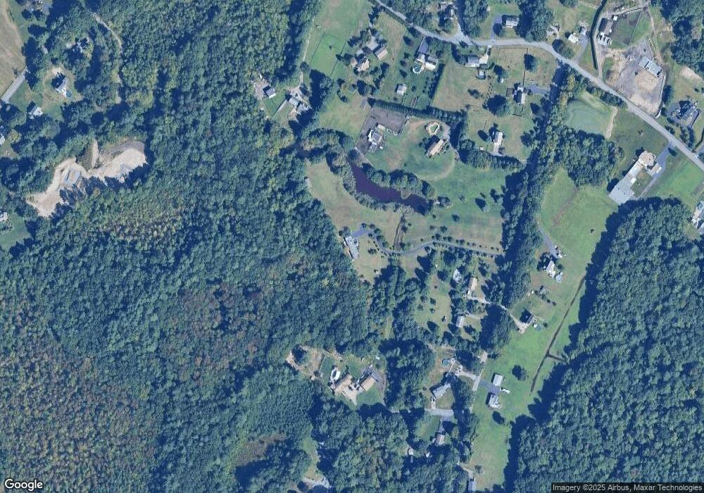
Map
Nearby Homes
- 198 Brook St
- 32 Providence St
- 0 Winter St
- 267 Chestnut St
- 205 Providence St Bldr Lot 3
- 203 Providence St Bldr Lot 5
- 42 Linden Ln
- 67 Wheeler St
- 8 Linden Ln
- 8 Linden Ln
- 127 Mason St
- 36 Columbine Rd
- 206 Moulton St
- 92 Martin St
- 20 School St
- 17 Sassafras Rd
- 120 Plain St
- 111 Summer St
- 75 Martin St
- 14 Deborah Ann Dr Unit 41