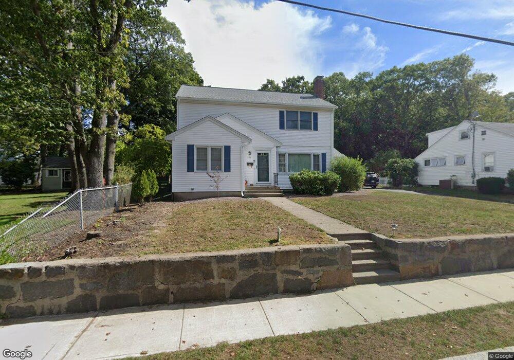
16 Woodcliff Rd Quincy, MA 02169
Estimated Value: $783,000 - $874,000
4
Beds
2
Baths
2,152
Sq Ft
$376/Sq Ft
Est. Value
About This Home
This home is located at 16 Woodcliff Rd, Quincy, MA 02169 and is currently estimated at $809,703, approximately $376 per square foot. 16 Woodcliff Rd is a home located in Norfolk County with nearby schools including South West Middle School, Lincoln-Hancock Community School, and Quincy High School.
Ownership History
Date
Name
Owned For
Owner Type
Purchase Details
Closed on
Oct 24, 1983
Bought by
Smith Lee E
Current Estimated Value
Create a Home Valuation Report for This Property
The Home Valuation Report is an in-depth analysis detailing your home's value as well as a comparison with similar homes in the area
Purchase History
| Date | Buyer | Sale Price | Title Company |
|---|---|---|---|
| Smith Lee E | -- | -- |
Source: Public Records
Mortgage History
| Date | Status | Borrower | Loan Amount |
|---|---|---|---|
| Open | Smith Lee E | $100,000 |
Source: Public Records
Tax History
| Year | Tax Paid | Tax Assessment Tax Assessment Total Assessment is a certain percentage of the fair market value that is determined by local assessors to be the total taxable value of land and additions on the property. | Land | Improvement |
|---|---|---|---|---|
| 2025 | $8,664 | $751,400 | $317,200 | $434,200 |
| 2024 | $8,221 | $729,500 | $302,400 | $427,100 |
| 2023 | $7,637 | $686,200 | $288,300 | $397,900 |
| 2022 | $7,337 | $612,400 | $231,600 | $380,800 |
| 2021 | $7,268 | $598,700 | $231,600 | $367,100 |
| 2020 | $6,527 | $525,100 | $231,600 | $293,500 |
| 2019 | $6,342 | $505,300 | $225,100 | $280,200 |
| 2018 | $6,248 | $468,400 | $208,800 | $259,600 |
| 2017 | $6,303 | $444,800 | $199,100 | $245,700 |
| 2016 | $5,899 | $410,800 | $181,500 | $229,300 |
| 2015 | $5,585 | $382,500 | $171,500 | $211,000 |
| 2014 | $5,397 | $363,200 | $171,500 | $191,700 |
Source: Public Records
Map
Nearby Homes
- 510 Willard St
- 36 Village Dr
- 87 Village Dr
- 9 Westford St
- 459 Willard St Unit 303
- 51 Branch St Unit 2
- 25 McDonald St
- 132 Centre St
- 21 Totman St Unit 308
- 21 Totman St Unit 205
- 21 Totman St Unit 404
- 21 Totman St Unit 309
- 21 Totman St Unit 203
- 21 Totman St Unit PH-406
- 21 Totman St Unit 301
- 21 Totman St Unit PH-405
- 21 Totman St Unit 407
- 211 Copeland St
- 57 Buckley St
- 14 Arthur Ave
Your Personal Tour Guide
Ask me questions while you tour the home.